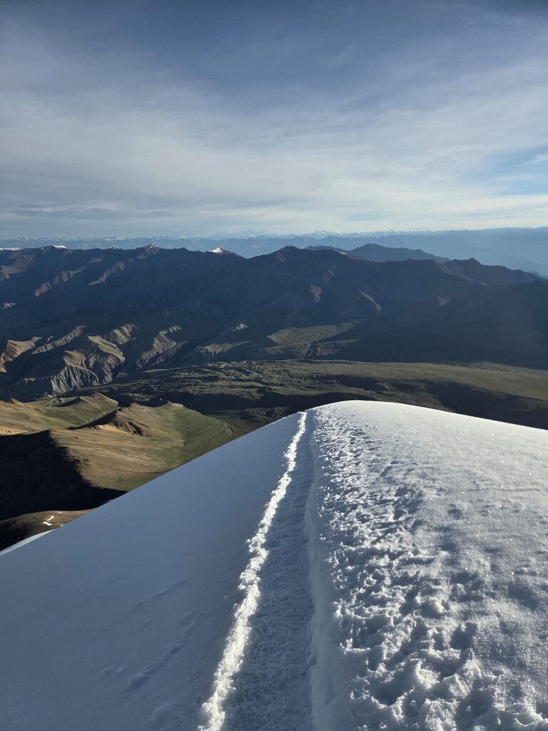
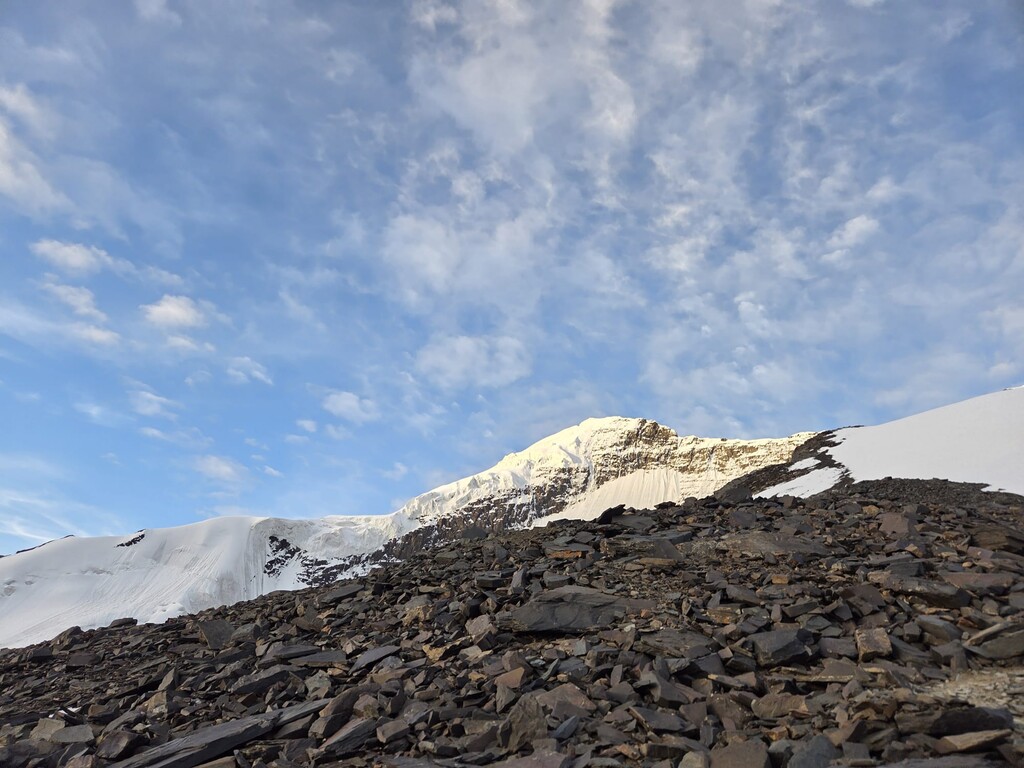
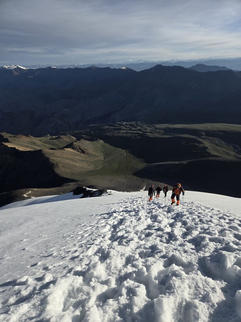
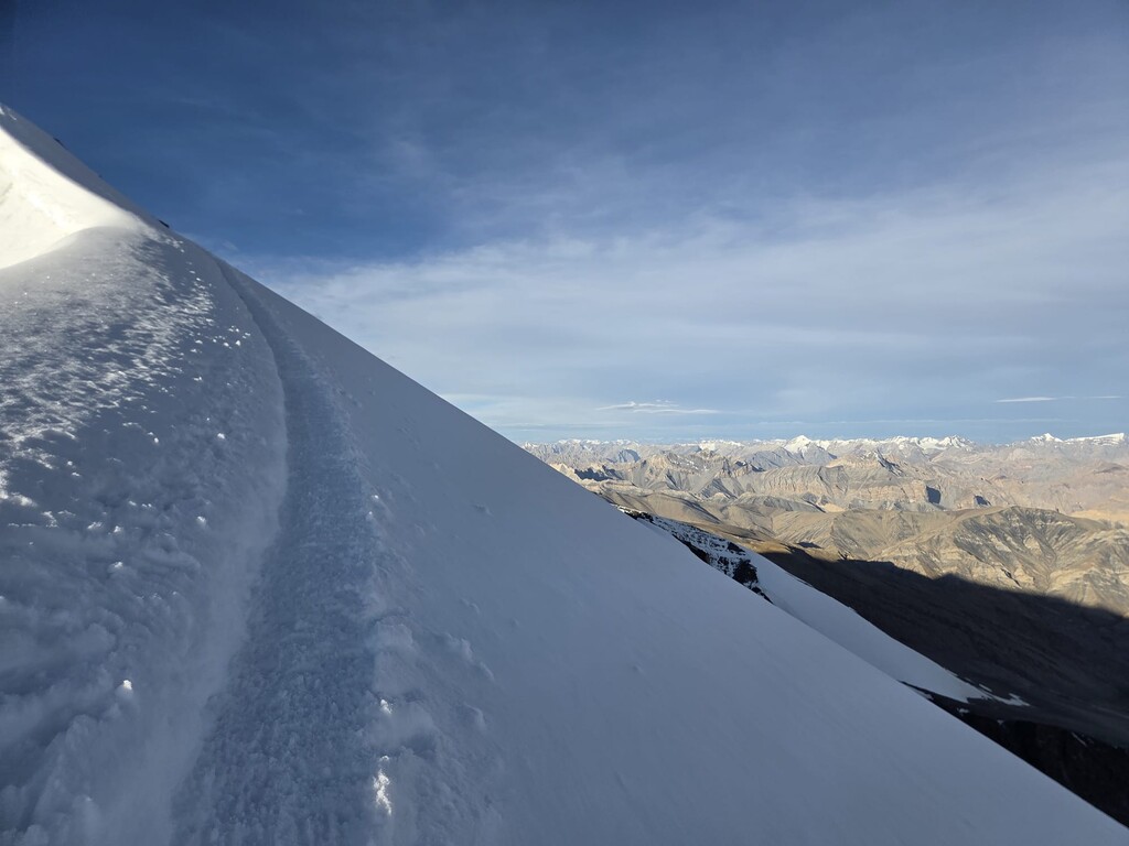
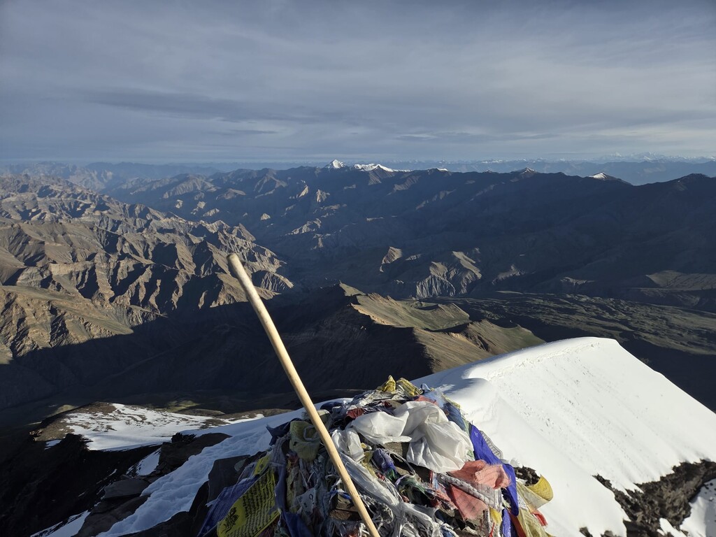
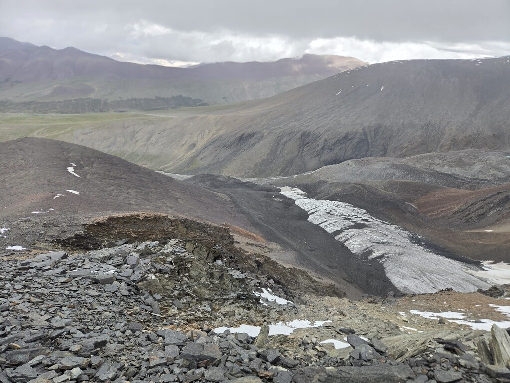
The route starts at Kang Yaze Basecamp, 5060 m.a.s.l., at the small "Stupa" with prayer flags in the middle of basecamp and goes up to the summit of Kang Yaze II (6250 m.a.s.l.), with half of it being glacier travel. Part of the route is off-trail, and it is up to the hiker/runner to find the best route. The first 200 m are off-trail on grass, and then a small trail leads up the hillside and later the moraine into more rocky terrain. There are at least two options for this trail for some sections, but both are equally fast, leading to the "crampon point" at around 5700 m. From that point on, the route is on glacier / snow, and it may vary slightly between years, depending on who made the track, and depending on the amount of snow in a given year. There is a long diagonal traverse from the crampon point until the shoulder. The shoulder is the steepest part and leads to the summit ridge, which is a bit more exposed but easy. The summit itself is slightly rocky. The way down is the same as up, or a slight variation of it on the moraine. Hundreds of mountaineers / hikers complete this route every year, and this track is approved by the guiding agency "Cho Expeditions".
I am submitting this in connection with a potential FKT completed recently on this route.