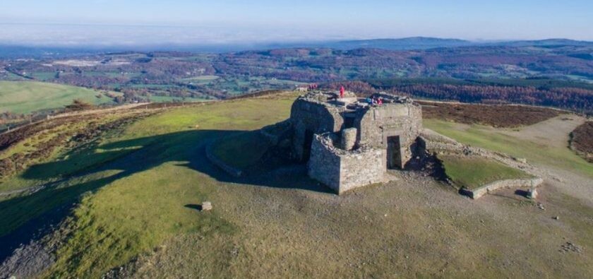
Route: King Offa's Sea to Summit (United Kingdom)

Submitted by steveo544 on Thu, 07/16/2020 - 08:29am
Location
United Kingdom
Distance
35.8 km
Vertical Gain
1,633 m
Description

This route follows Offa's Dyke from the north coast of Wales to the summit of Moel Famau, and then down to the car park at Bwlch Penbarras.  Offa's Dyke  is a large linear earthwork that roughly follows the current border between England and Wales. The structure is named after Offa, the Anglo-Saxon king of Mercia from AD 757 until 796, who is traditionally believed to have ordered its construction. The ridgeline route offer spectacular views across North Wales and over the border into England and the city of Liverpool.   Along the route you pass by Moel Arthur and ancient iron age hill fort before dropping into the valley and then starting the long climb up to the summit of Moel Famau, (Mother Hill)  on the summit at the height of 555 Metres ( 1821 feet)  you will pass by the Jubilee tower, which was built to commemorate the golden jubilee of  King George III.   You are then rewarded with a 1.5 mile down hill run to the Car Park at Bwlch Penbarras and the promise of Tea/coffee and local Welsh Cakes 

Note this is Sea-to-Summit, not the other way around.

GPS Track
Images