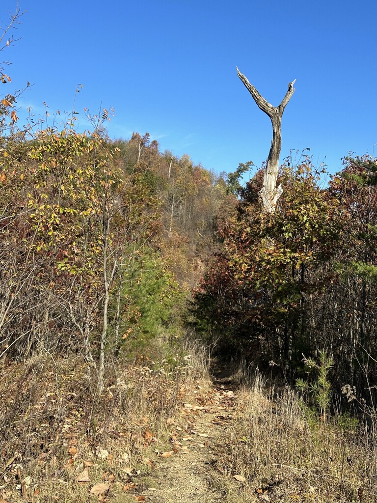
The Knobstone Hiking Trail takes you approximately 150 miles along an ancient Borden bedrock escarpment. High knobby bluffs of the forested Norman Uplands were separated over millions of years by erosion from the Scottsburg Lowlands. Scenic knobs jut 500 feet above the lowland plains, all vestiges of the North American continent’s vast Silurian inland sea. Trailheads connect to within 30 miles of Indianapolis and 20 miles of Louisville.
The Knobstone Hiking Trail is composed or four segments:
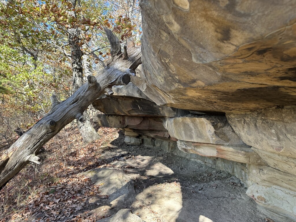
- Hiking northbound, the trail begins with the original section, the Knobstone Trail which is narrow and rugged; great elevation changes make it a real challenge as it climbs deep into valleys cut into the escarpment by creeks and rivers over millions of years. Many refer to the Knobstone Trail section as a “little AT,” as it is plenty steep and winding, making it suitable preparation for doing miles on the Appalachian Trail. All of this section allows dispersed camping (following LNT guidelines, of course). The Knobstone Trail has its own FKT page with an all-trail 50-mile route on that section: https://fastestknowntime.com/route/knobstone-trail.
- The next section moving northbound, the Pioneer Trail, is currently made up of backroad walks, with easements slowly being donated by private landowners to complete this section. The Hoosier Hiker Council created three stopover spots to camp safely and legally on this section.
- North of this section is the Hoosier National Forest section, which is mostly hiking and horse trails with a few minor forest service and backroad walks to fill in the gaps. Since this segment is National Forest land, dispersed camping is also allowed.
- The final and northernmost section, the Tecumseh Trail is mostly single-track with a few brief forest service and road walks. This section features multiple AT-style shelters for overnight usage, with dispersed camping allowed near the shelters. As of February 2025, note that future FKT attempts are expected to use the posted reroute around the closed railroad crossing south of Hwy 45, as shown in the GPX file. See details at hoosierhikerscouncil.org/tecumseh-trail/.
The following is a link to the Knobstone Hiking Trail Association webpage, which includes maps and descriptions for each segment of the trail. Parts of the above description were pulled from this website: https://www.knobstonehikingtrail.org/
This trail is expected to develop and change over the years as the KHTA secures more easements and builds more trail miles. The trail is likely to grow longer and possibly slower as road miles convert to trail miles. Barring any dramatic changes, we intend to keep only a single variation for this route over the years. As of 2025, KHTA is keeping the most updated maps in the guides on their website and in the FarOut app. As of November 2025, we are using Ben Taylor's GPX for the route on this page; be aware that he used a temporary reroute in the vicinity of Bartle Knob Road, and that this file includes a few support detours and wrong turns.
Comments
https://www.strava.com/activities/12681043853
https://www.strava.com/activities/12666249662
I recently had someone suggest I completed the FKT by helicoptor.... So I'm adding this :)
I plan to run this trail starting tomorrow morning, northbound, with lots of support from friends/family as pacers and support vehicles. Even with that, I will be completing large sections of the trail solo and unsupported. My goal is to finish sub 48 hours. According to the website and my most recent information obtained from those who oversee the trail, the distance is 148 miles. I hope my finish can go into a separate category, because I feel that Samantha and Kim's FKT should stand because to hike that as a backpacker in 4 days is absolutely awesome!
Hi! I’m beginning my unsupported attempt today! Going northbound. Hoping for sub 3 day thru. https://www.strava.com/beacon/SyiasqdsvHJ