Location
Florida,
US
Distance
62.5 mi
Vertical Gain
217 ft
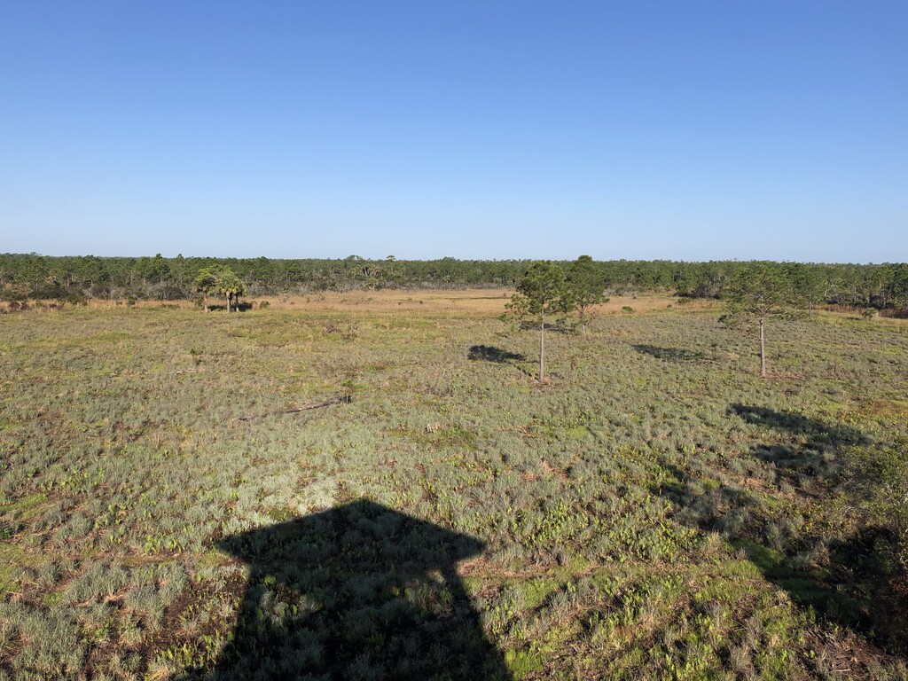
Description
GPS Track
L20.gpx4.39 MB
FKTs
Male
Female
| Will Daniels | 18h 43m 35s | ||||
| Jeff Stephens | 1d 0h 57m 3s |
| Deanna Doane | 12h 1m 37s | ||||
| Ariel Bernstein | 12h 31m 55s |
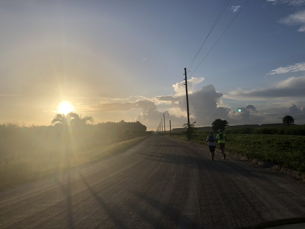
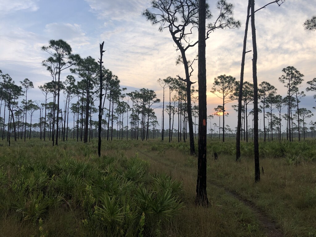
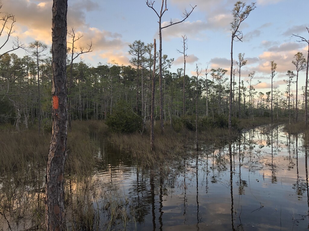
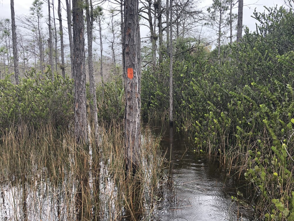
Images
Comments
I'm thinking of doing a self-supported attempt in the next few weeks, aiming for under 14 hours. If that goes well then probably an unsupported attempt when the weather cools down. I'm considering doing an unsupported attempt first, but with this heat I don't know how much filtered water I feel safe consuming!
I completed my attempt shortly after posting this, but I ended missing a half mile section of trail along the canals by mistake so it doesn't feel right so submit my time.
The overall time was a little over 16hrs. Nothing amazing, the heat actually slowed me down tremendously, but it was an extremely fun adventure. I'll be taking another shot at the route later this year.
I’ll be doing an unsupported attempt on 2-23-24 starting at lake O at 5:30am.
Curious if you completed it.
I did, time was 25 hours 49 minutes. Didn’t upload because it was nothing to write home about. Awesome experience though. Trail was 80 percent underwater which really slowed me down. Planning to do it sub 18 in 2025.
I will be attempting an unsupported L20 starting at NENA. 11/23-11-30 is my start time frame.
Will be starting Sunday morning November 24th at 5am. Unsupported attempt.
I will be attempting a solo, supported L2O starting at NEMA March 15, 2025 @approximately 6:30am
My supported attempt 3/15/25: 13:50 elapsed👍