Nanga Sago (5,776m) is significant as the highest peak of Leh, the capital of Ladakh and a spectacular point to view the Karakoram range to the north and Himalaya to the south. The route starts from the "I ❤️ Leh" sign situated at the northern end of the main market street. The gpx uploaded and route I ran on the ascent is generally the most direct path to the peak, particularly the first 5-6km on road ascending through Leh. After that, there are a few km of goat trails to follow through a frustratingly dry creek bed on the southern valleys of the peak until any sign of a trail disappears all together and it's up to you to work your way up the scree and talus fields (and possibly snow) to the peak.
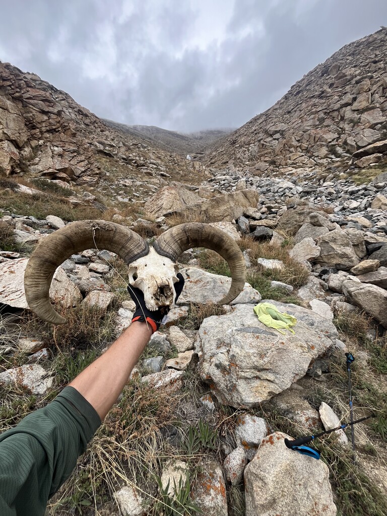
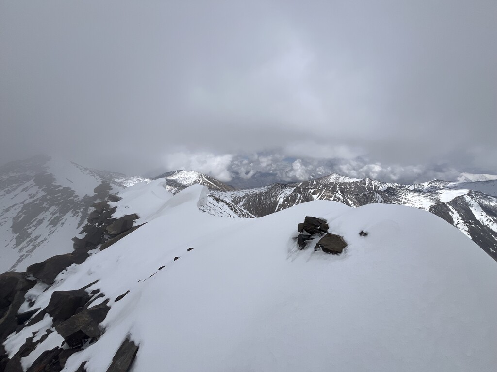
I stayed near the creek bed until around 4500m when there was finally some running water to fill up at. I then ascended a ridge (take your pick), and in mid-June began to hit snow above 5200m. Some of the snow was firm and great to walk on, other parts unexpectedly post-holed into the talus. Summitpost has photos of the peak later in the summer with no snow. Besides the danger of weather, altitude, and sliding rock, it's a non-technical peak never needing to use hands (unless the altitude brings you to a crawl, which it did at some points for me).
I improvised on the way down because of a sudden thunderstorm while on the summit and glissaded down snow several hundred meters on the north side with the hope of getting off the ridge as fast as possible. The northern valley descent, while longer than the ascent, also seemed less steep with the chance to connect back to the road sooner. To my pleasant surprise, there was also more water in this valley. While my southern ascent route was aimed at being most direct, one could also consider ascending via my northern descent route, especially if one is a strong runner - it would give more "runnable" opportunities.
Overall, the route up and down through Leh is basically where you will do most of your running and where taking the right turn really counts. There are any number of ridges and ravines to ascend the peak, though water and slope angle should be a consideration.