This National Waymarked Trail starts in Manorhamilton, the heart of Leitrim’s Five Glens. Starting here, you will head south, climbing quickly from the valley floor to the top of Boleybrack Mountain range where the remote mountaintop lake of Doolough marks the highest point of your journey.
After you have taken in the spectacular views, the route continues south-eastwards into County Cavan. This long and gentle descent brings you to the townland of Dowra and the source of Irelands longest river, the Shannon. On crossing the bridge in the centre of Dowra, you will re-enter the county of Leitrim.
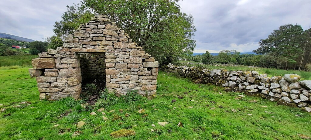
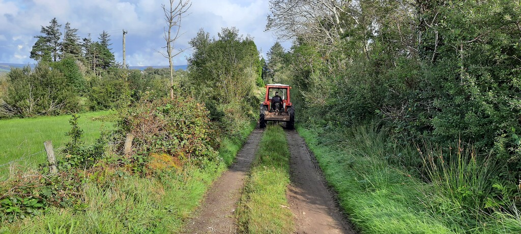
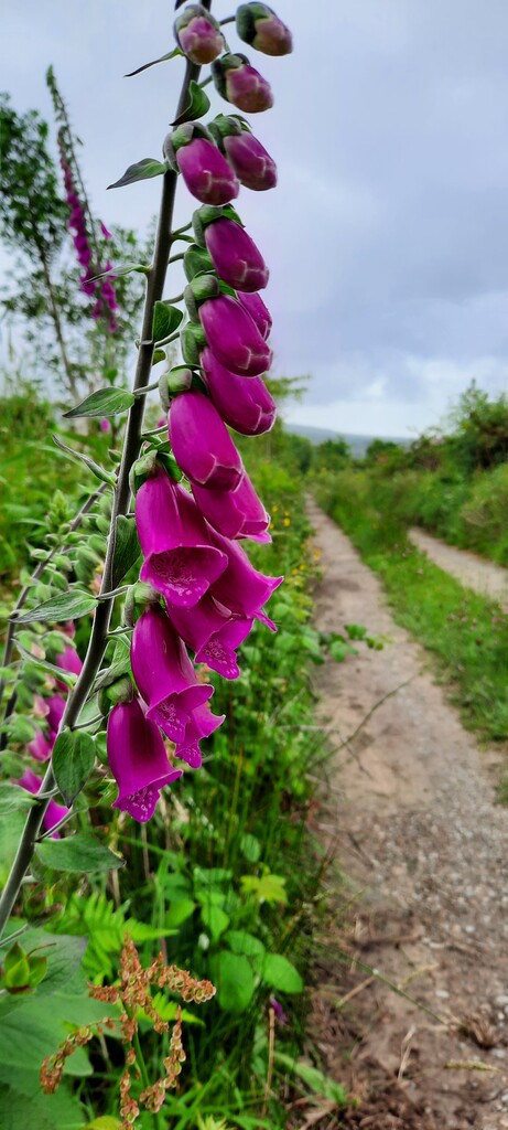
Your journey continues onward through a series of small farmlands and quiet Boreens, passing through the rural village of Ballinagleragh. Here you will find historic heritage sites unique to area, such as the famous Sweathouses dotted throughout the countryside.
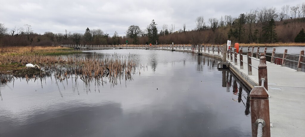
As your travel further south, occasional vantage points over Lough Allen will be discovered, until you reach the townland of Drumshanbo. At this point, you will find an easing in the trail gradient, as you follow alongside the Shannon Blueway. Upon leaving Drumshanbo, you will have the opportunity to cross Irelands first floating walkway, located over Acres Lake.
The final stretch south brings you past Battlebridge and into the small-town marina of Leitrim village, marking the end of your journey on The Leitrim Way.