The Liechtenstein Panoramaweg traverses the tiny country of Liechtenstein, both the mountainous parts as well as the lower-elevation valley. It is suggested as the most scenic and strenuous 3-4 day hiking trip in the country by the Liechtenstein Board of Tourism: https://regio.outdooractive.com/oar-liechtenstein/en/tour/hiking-trail/liechtenstein-panorama-trail/52551674/, but it can be run in a day by a fit individual. It's a really spectacular point-to-point trail, which highlights much of what Liechtenstein has to offer in terms of beautiful alpine mountains, perilous exposed cliffs, and some road running through the populated villages in the lower valley region. The first half is almost entirely along single track trails through alpine and sub-alpine environments, whereas the second half is largely lower elevation trails and roads through villages.
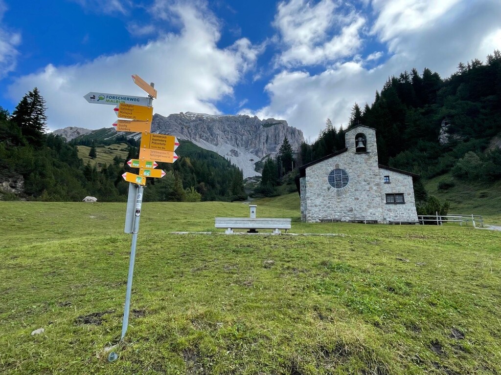
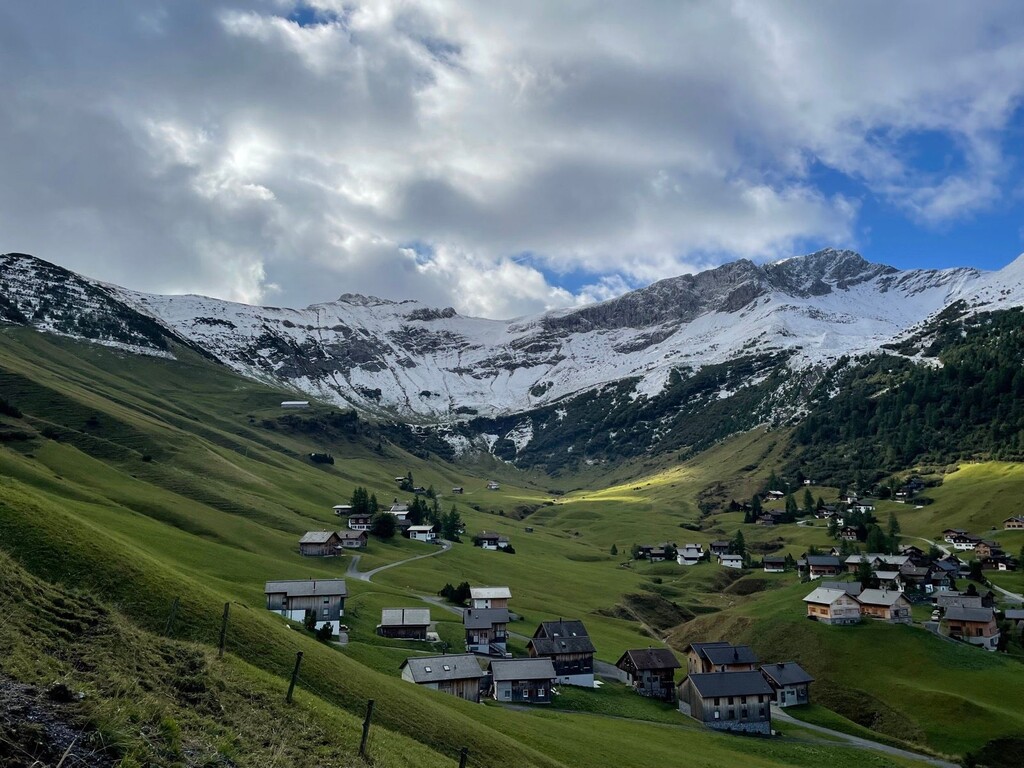
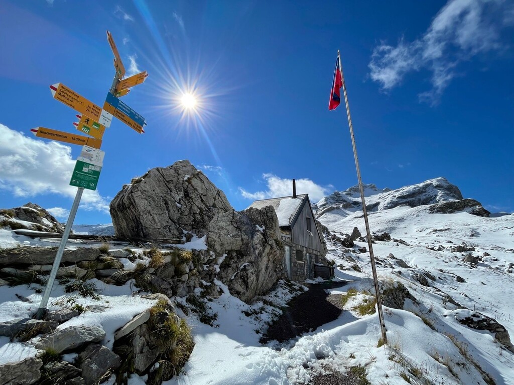
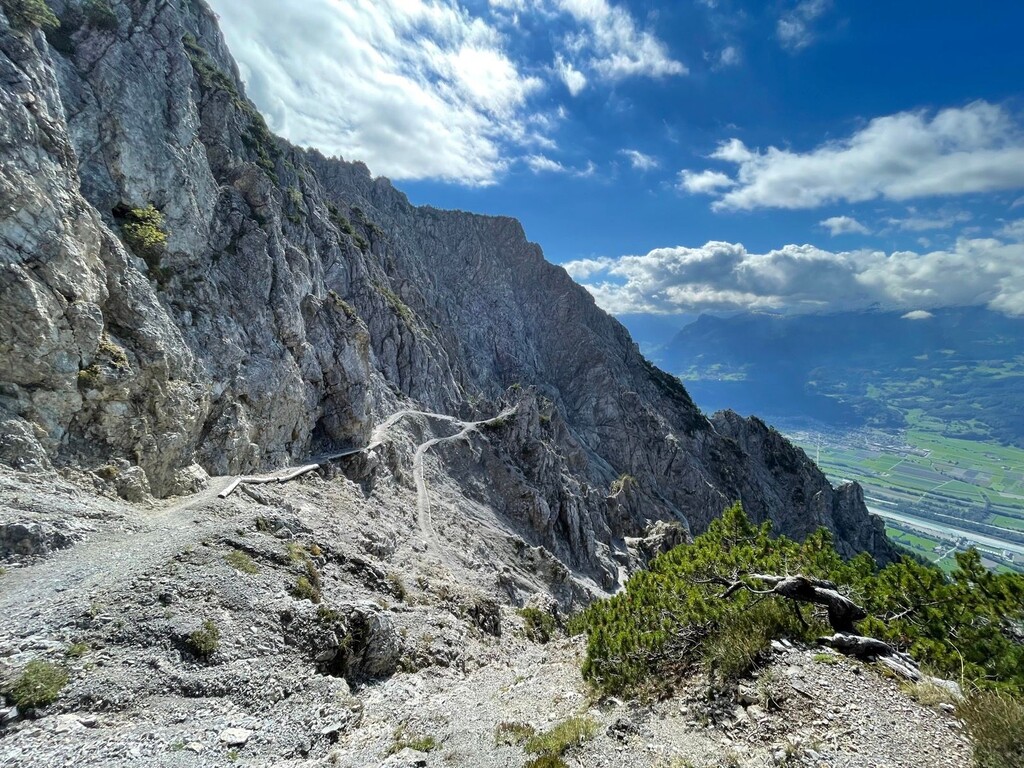
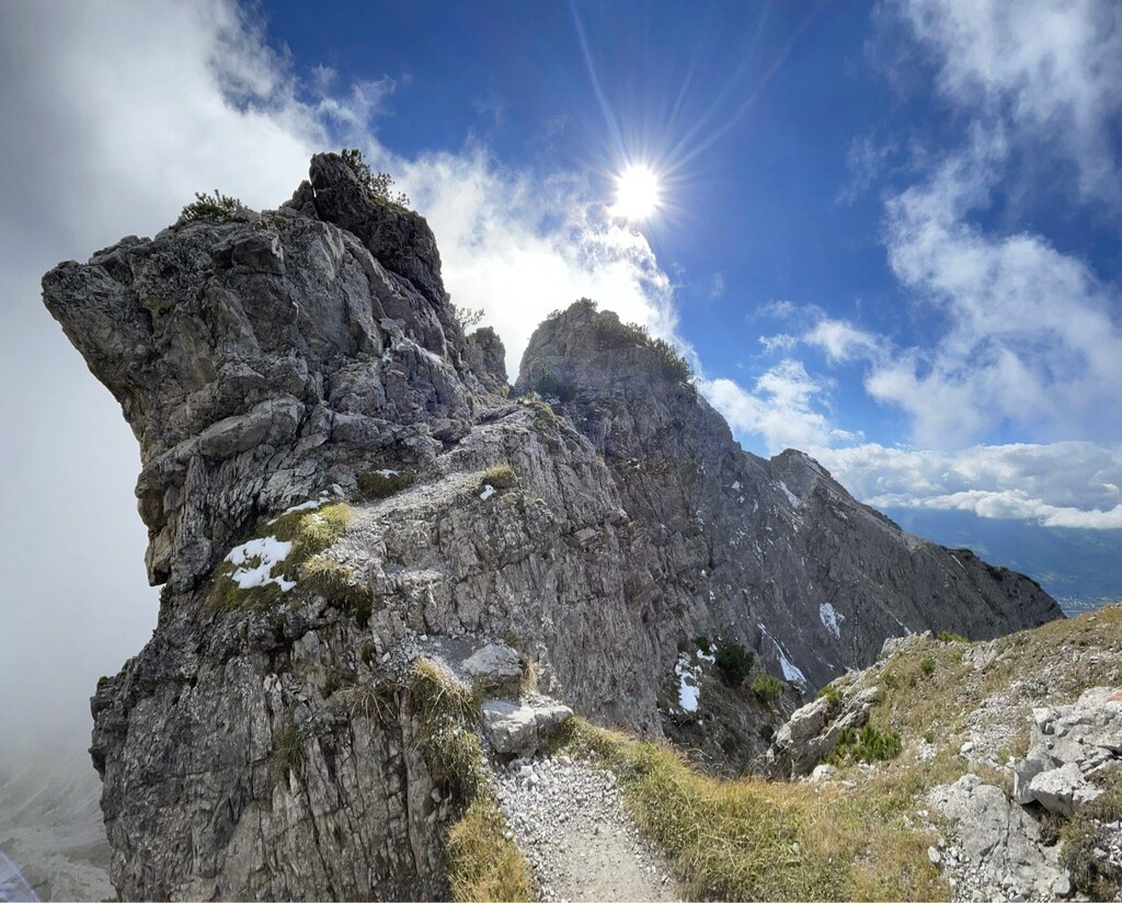
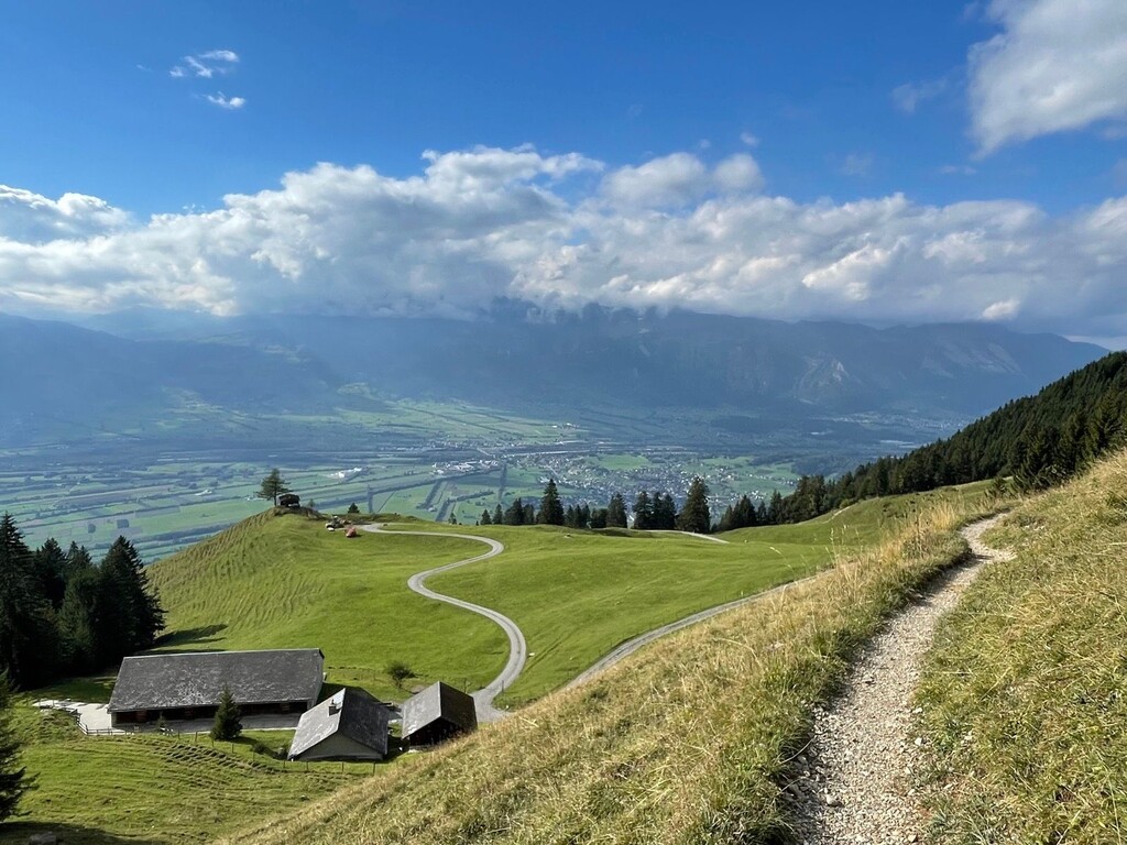
The route begins in the town of Malbun in the East (parking and bus stop) (this is a pedestrian variant mentioned as alternative to the outlined route at the homepage, starting at the top of the gondola above Malbun), where you head up a double-track trail to the Augstenberg ridgeline and the Princess Gina Trail. After summiting Augsternberg (2365 m, 7759'), the highest point on the route, which holds snow through much of the year, the route descends along the Liechtenstein-Austrian border to the mountain refuge Pfälzerhütte. From the hut, you head directly west, descending the valley until you reach the Berggasthaus Sücka. Continuing northward, you encounter the Fürstensteig, the Prince's Way, an exposed trail cut directly out of the cliffside (exposed class 1). Continuing upward along this ridgeline, you summit Gafleispitz and traverse the Drei Schwestern (Three Sisters), where you'll use fixed cables and some ladders to navigate some very exposed (but awesome!) class 2 scrambling. Do not attempt this in bad conditions (e.g., snow, ice, thunderstorms, or even rain) or if you have a fear of heights as it will be treacherous. From here, you have a great deal of steep descending to do along muddy, rooty, and rocky paths (12,500' of loss over this whole route) until you reach the town of Planken. Now much of your elevation gain/loss is done, and you have some roads to navigate through a series of towns including Mauren, Nendeln, and Schellenberg, eventually finishing at the Rathaus (city hall) of the far* northern town of Ruggell.
The route description can also be found here. The second km is now a small shortcut and there are two options at 25 km one following the ridge and one below. The gpx was here was updated in October of 2025.
You can return to Vaduz or your start point in Malbun via the bus system, but make sure to check the timetables of the bus service beforehand to ensure you're not stranded in Ruggell for the night. For more information, read the link above or speak to the employees in the tourism center.