Run from the bubbling waters of Mammoth to the Bozeman Public Library.
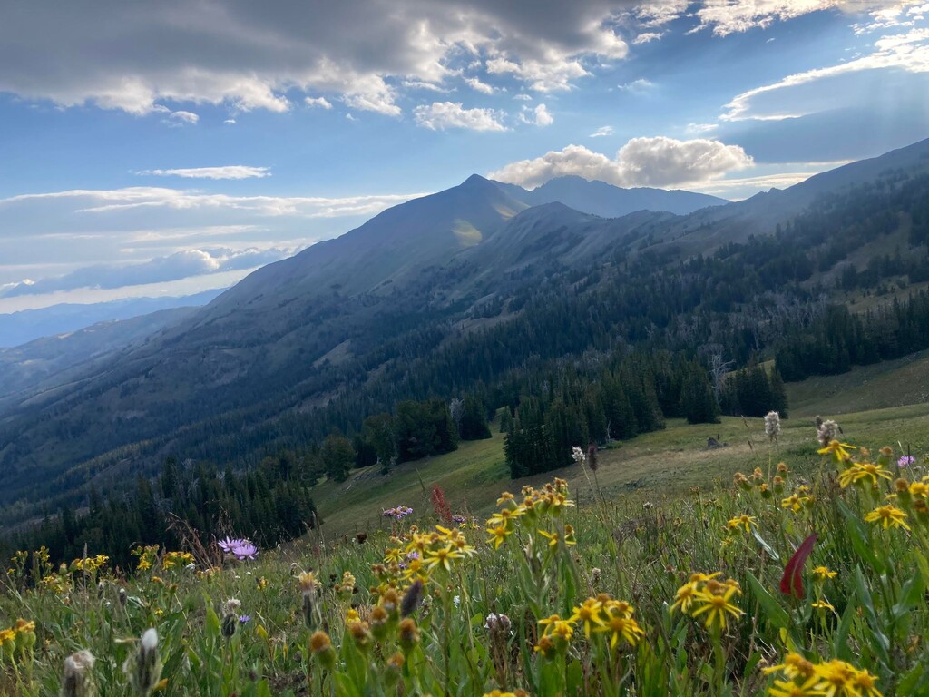
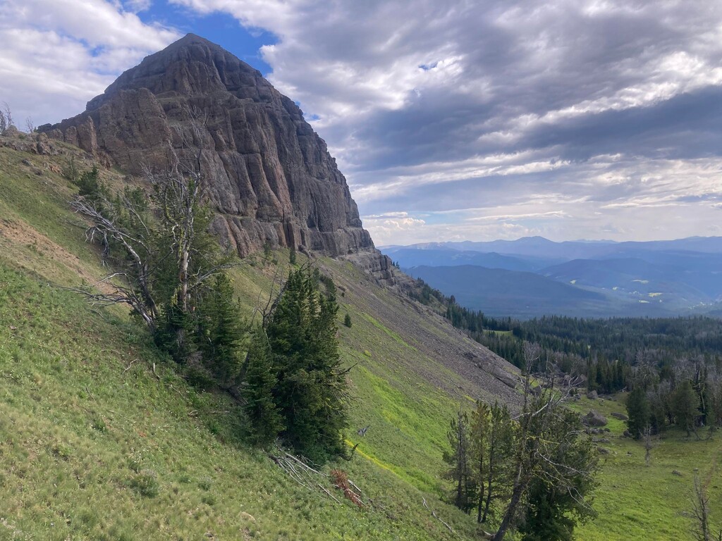
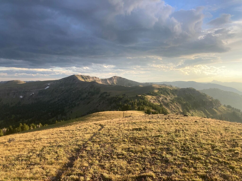
This route meanders through sagebrush basins south of Electric Peak before passing a series of sub-alpine lakes and forested draws in the southern Gallatins. This area is home to a large population of grizzlies, so be aware. At Shelf Lake, join the Sky Rim trail and the main spine of the Gallatin Range; the next stretch has no water, so stock up. At Buffalo Horn Pass, divert from the ridge around Ramshorn and Fortress. Although an aesthetic variation would stay as high as possible the next water option is at Upper Ramshorn Lake. After rejoining the ridge at the start of the Gallatin Crest Trail the terrain changes to broad grassy plateaus along the Devil's Backbone. This is arguably the most scenic portion of the route and should be done in daylight if possible. Crater Lake is the only water option between Windy Pass and Hyalite Basin. Once reaching the col at Hyalite, descend quickly through the valley to the main parking lot (a good place for aid, if supported). From there, pick your way through a handful of ATV trails on your last major climb over to Bozeman Creek and over to Mystic Lake to maximize the single-track descent. A fast descent on Sourdough takes you to the only short section of pavement, and the finish comes into sight as you link up some enjoyable town trails, Triple Tree to Painted Hills to Highland Glen to Peet's Hill. Enjoy the views of Bozeman as you run the last mile into town, finishing at the aptly marked "Main Street to the Mountains Trail."
This route, or similar, has been fastpacked at least once prior to my posting (circa 2018, under the name Books to Bubbles, which is great) and has potentially been run in a single push but I cannot find any record. The goal was to stay on as much dirt and singletrack as possible, staying high on the ridge whenever that was an option.