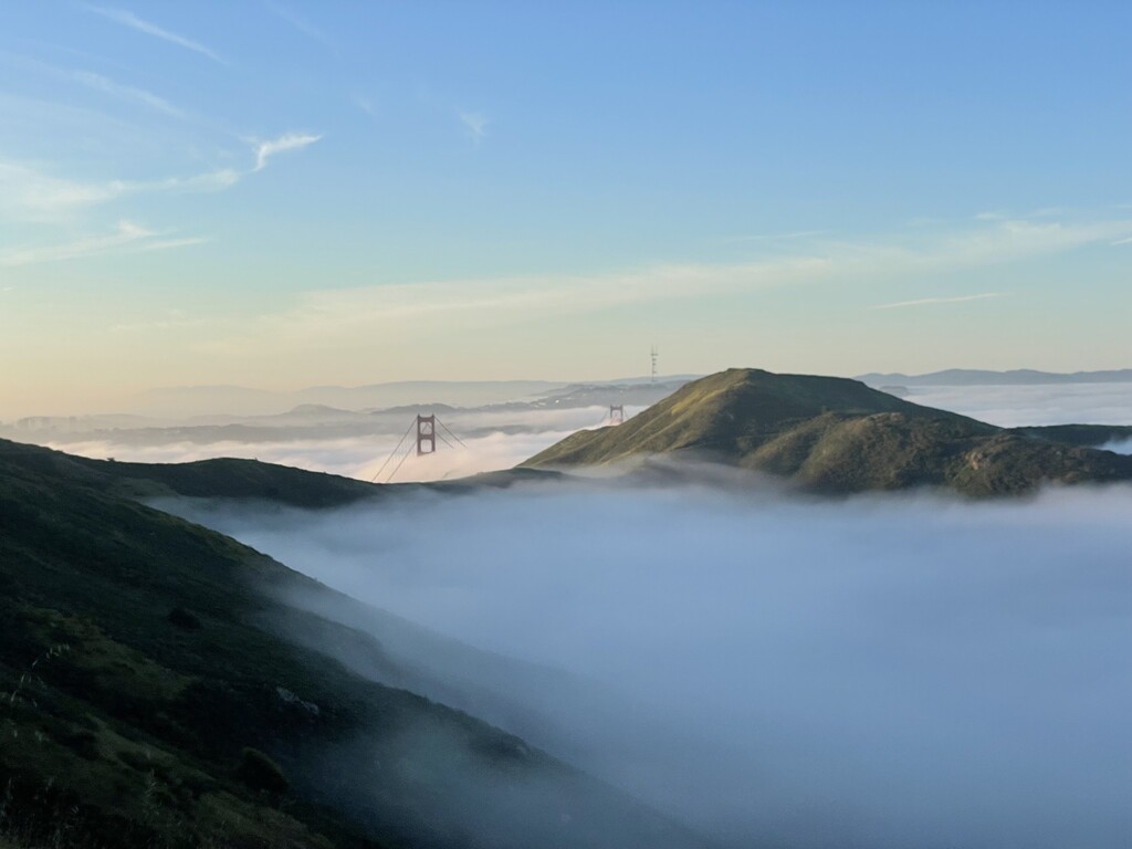
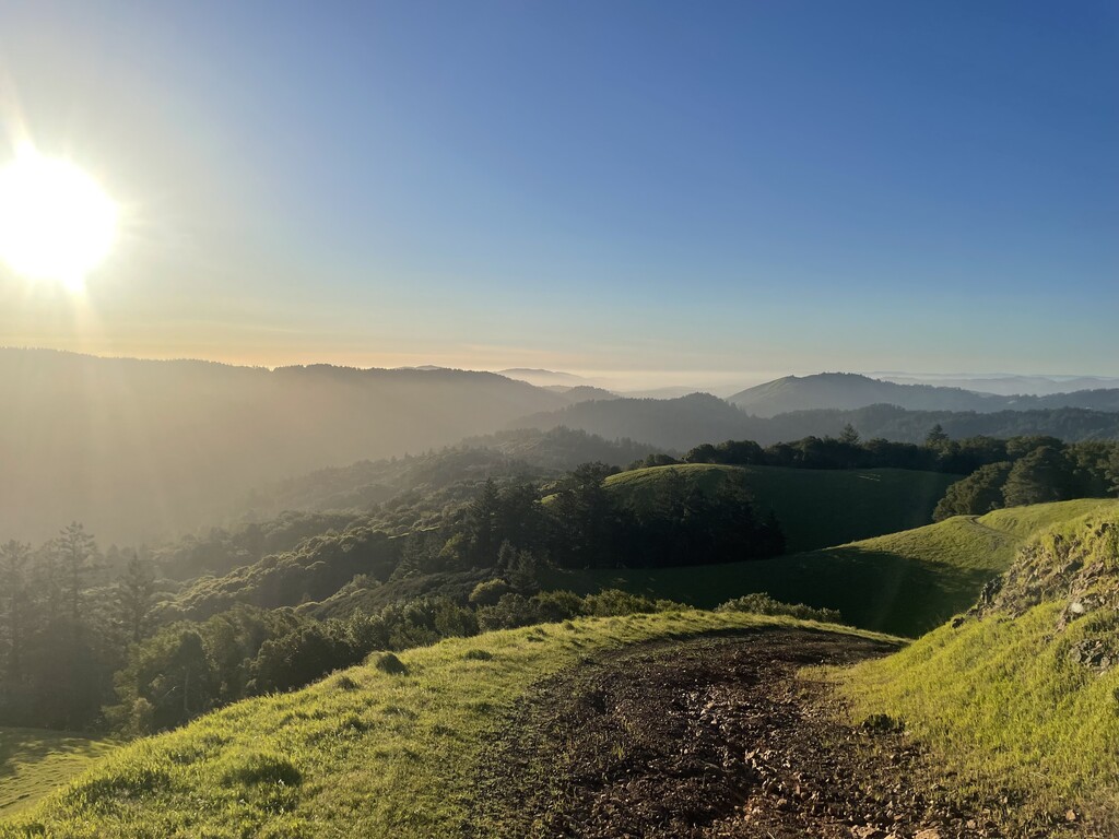
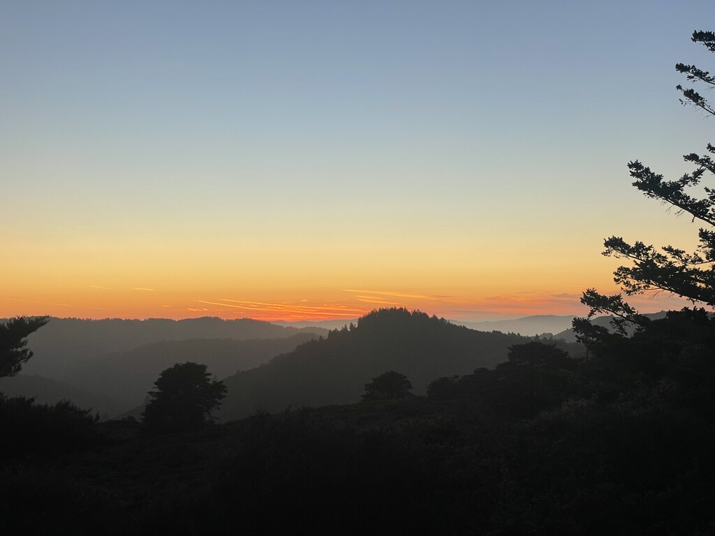
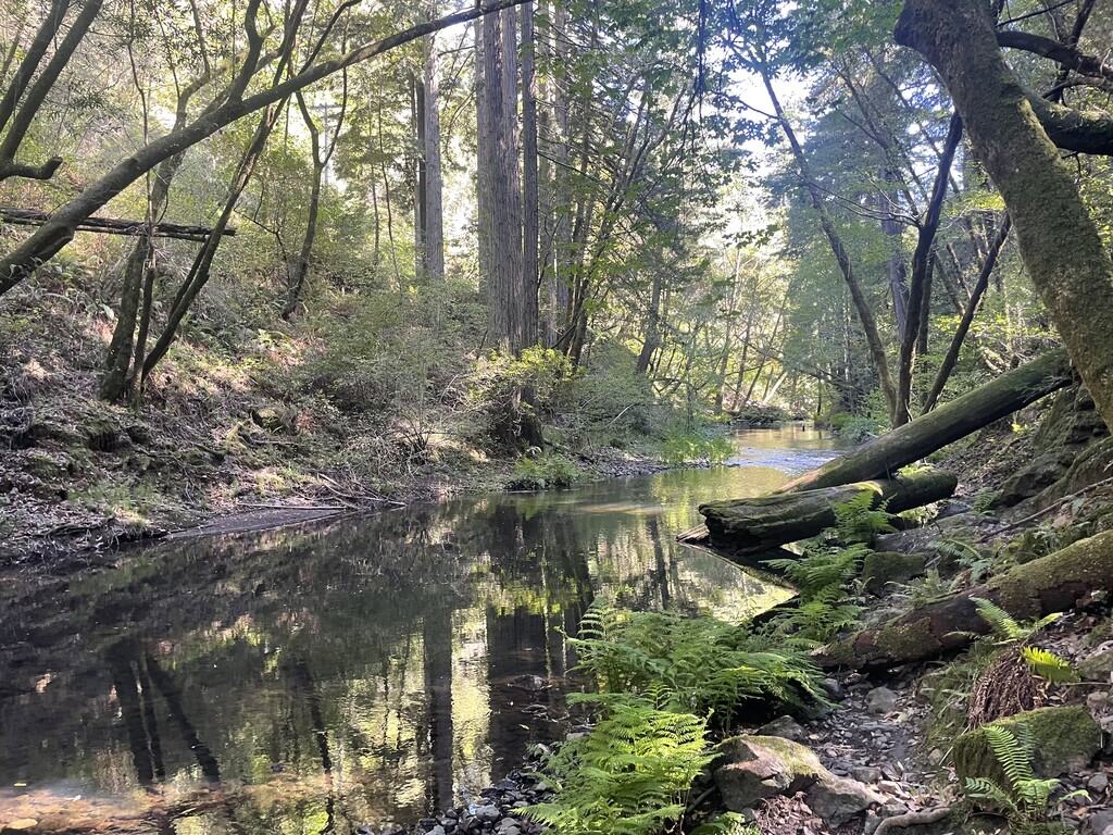
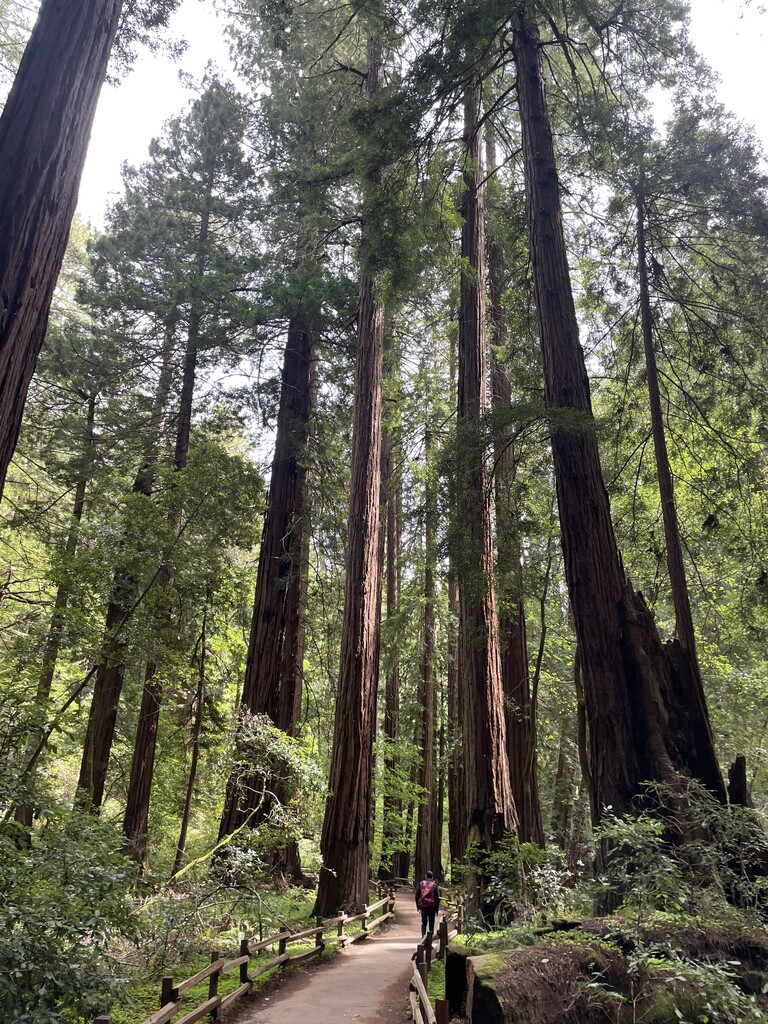
The Marin County 100 Miler is a 104-mile clockwise loop in Marin County, California that links up many of the iconic trails and landmarks in the northern San Francisco Bay Area. The route starts and finishes at Tennessee Valley Trailhead in the Marin Headlands (Golden Gate National Recreation Area) and totals out with 24,560 ft of gain. It summits the highest points in Marin including Bolinas Ridge, Pine Mountain, Loma Alta, Big Rock Ridge and Mt. Tamalpais East Peak. It passes through many of the Open Space Preserves in Marin including White Hill, Loma Alta, Giacomini and Cascade Canyon Open Space Preserves. It traverses much of the Mt. Tam Watershed and runs along the shores of Kent Lake, Bon Tempe Lake and Alpine Lake. It provides excellent views of the Pacific Ocean while it passes Rodeo Beach, Tennessee Beach, Pirate’s Cove, Muir Beach and Stinson Beach. It passes through an old military installation in the GGNRA, Mt. Tamalpais State Park and finishes with a beautiful descent through the old growth redwood groves of Muir Woods National Monument. There are some very good crewing and/or cache locations along the route. It intersects with many easily accessible roads including: Sir Francis Drake Blvd (mile 36, mile 52, mile 72), Lucas Valley Road (mile 55, mile 65), Bolinas/Fairfax Road (mile 76), Panoramic Highway (mile 20 and mile 95), and Highway 1 (mile 15, mile 23, mile 100). There are many natural water sources and public water fountains along the route. Water fountains: (mile 8, mile 19, mile 20, mile 23, mile 65, mile 71, mile 79, mile 89, mile 94, mile 95). Creeks: (mile 16, mile 36, mile 41, mile 63, mile 75, mile 82, mile 95). Springs: (mile 56, mile 80, mile 83). The route never overlaps on itself and contains approximately 3 miles of total paved road.