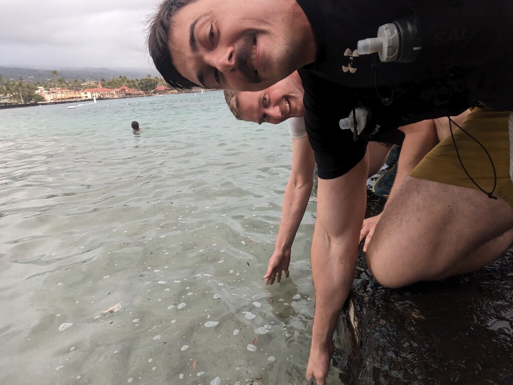
The Kona to Mauna Kea Sea-to-Summit 100km (plus a bit): The route starts at the Ironman Championship start line at the beach in Kona and ends at the summit of Mauna Kea, the highest point in the state of Hawaii. It is 63.5 miles with about 15,000’ of total vertical gain and a final elevation of 13,800’. 100% of the route is running/hiking along public roads, and there is no race site that tracks this route, so it meets the basic qualifications for an FKT route.
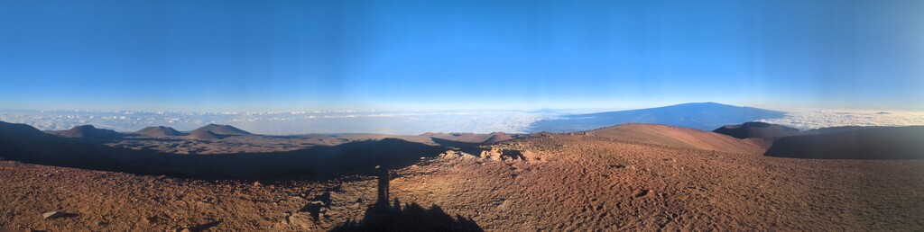
The nearly all-uphill sea-to-summit volcano route is a geological feature unlike almost anything else in the world. It was actually a tricky route to train for because it’s nearly impossible to find another continuous uphill slope anywhere near as long.
This route also has historical and contemporary significance, tracing the Ahupuaʻa land divisions from the culturally vital fish ponds in Kona to the highest elevation in Hawaii. Additionally, it starts in Kona, at the Ironman Championship start/finish line, providing a fun alternative use for that iconic endurance landmark.
Navigationally, the route is very simple, consisting of only two turns (one right and one left) to cover the entire distance. We broke it down mentally into three portions, a flat-ish marathon, an uphill marathon, and then a vertical hike for the remaining elevation over ~10 miles. We drove the distance out the day before and hid caches of supplies at regular increments, thus this route was performed in a self-supported fashion.
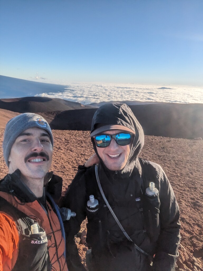
We had an incredibly fun time doing this route! The views at the top were some of the best I have ever seen, and it was both of our (Wilson Ruotolo and Brian Rohr) first endurance event of this caliber. It took us 23hrs + 50min to complete, and we’re stoked to see some real runners crush our time in the future!
Sincerely,
Wilson and brian
Comments
Planning to attempt this route on Feb 3-4!