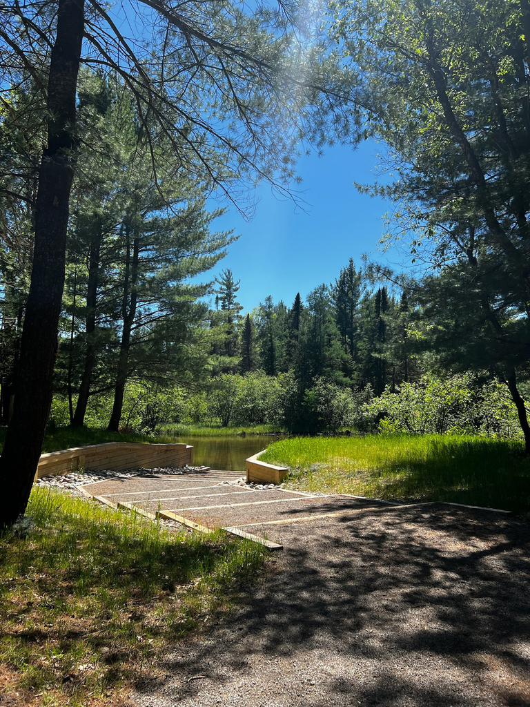
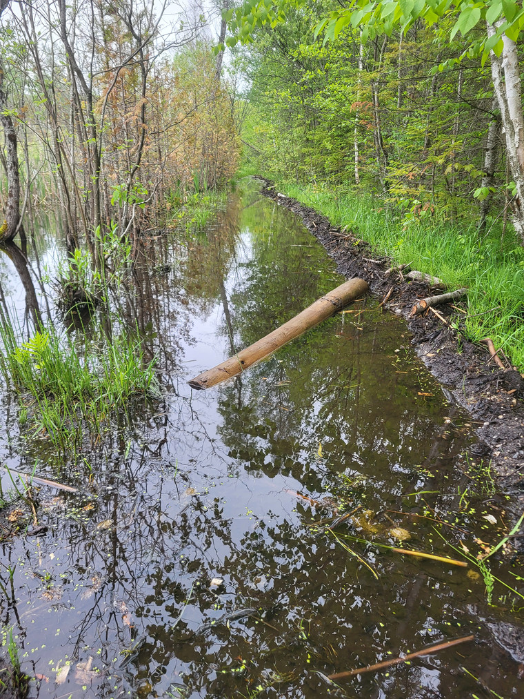
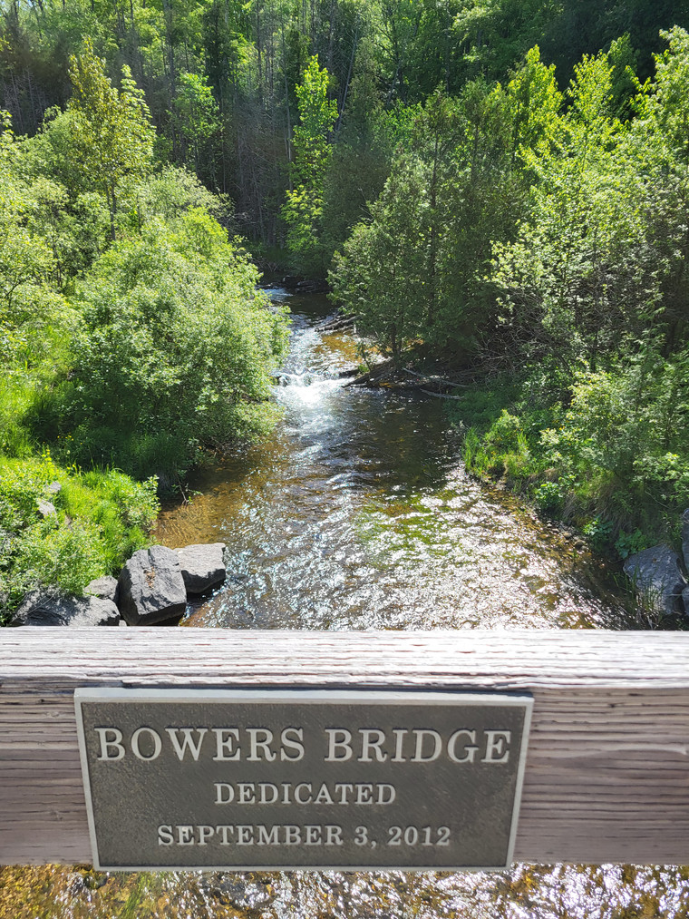
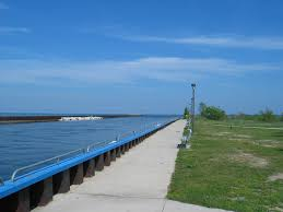
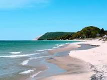
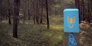
The Michigan Shore-to-Shore Trail is an equestrian and hiking route that spans from Empire to Oscoda in the upper Lower Peninsula, featuring a diverse mix of terrains including single-track trails, paved and dirt roads, and ORV trails. Beginning at Empire Beach with stunning views of Empire Bluffs and Lake Michigan, the trail passes through Lake Ann, Interlochen, Mayfield, and Kalkaska, offering scenic inland lakes and stretches on busy roads. From Kalkaska, the route weaves through the middle of the state, with refreshing river crossings such as the one at Goose Creek Trail Camp. Near Frederic, the trail transitions to more forested, hilly, and shaded areas, becoming more runnable. As the trail runs through the Au Sable River Valley past Grayling, it provides numerous wildlife sightings and picturesque river views, especially through Mio, Glennie, and the Huron National Forest. The eastern portion features minimal road crossings and unique Pine Barrens habitat. The final segment takes you past South Branch Trail Camp, Lumberman's Monument, and Foote Pond Fishing Village, ending in Oscoda at the mouth of the Au Sable River where it meets Lake Huron, completing a journey filled with natural beauty and varied landscapes.
http://www.upnorthtrails.org/trails/shore-to-shore-trail.html
https://www.hikingproject.com/trail/7082986/michigan-shore-to-shore-trail
Comments
Thanks to those who established this one! Heading out Friday morning to see what we can do.