Route: Mount MacFarlane (BC, Canada)

Submitted by Jenny Lena Quilty on Fri, 08/07/2020 - 05:12pm
Location
British Columbia, CA
Distance
16.7 km
Vertical Gain
1,787 m
Description

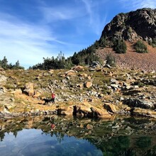
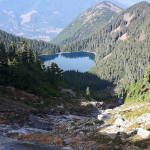
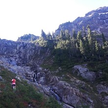
Mount MacFarlane is a 16.3 kilometer out and back with 1787 meters (5863 feet) of elevation in the first 8 kilometers. This trail boasts 2 lakes, waterfalls and technical terrain including roots, rocks, and a loose rock scramble to the summit. If it is a clear day the 360 views of surrounding mountain ranges are endless. The trail from the parking lot dips into dense forest, winding up single track with an average of a 20% grade. The trail crosses a boulder field, and continues to the lower lake where campers often spend the night. From here this trail continues to climb to subalpine, following alongside a waterfall and then crossing to the alpine lake and finally a visible scramble up to the summit. The cairn marks the top and the beginning of the descent, straight back down on the same trail as the way up to drop right back down to the parking lot, after 8km of quad smashing, technical fun. 

https://www.alltrails.com/trail/canada/british-columbia/mount-macfarlane


Images