Located between Courtright Reservoir and Florence Lake, this 11,000 foot granite peak begs to be bagged! This FKT route starts out of the Maxson Trailhead/Parking Area on the east end of Courtright. If you're anything like me and my partner in these single day pushes, you'll find yourself making quick work of the first 4 to 6 miles before reaching Hobler Lake. Be sure to keep plenty in the tank because those first 4 miles are 1,000 feet up on loose sandy terrain - think beach running minus the beach (;
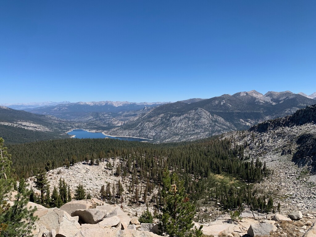
Mile 5 to 11 is no joke. You'll quickly find yourself trending upwards over 10,000 feet along Burnt Corral Creek. Most maps and GPS' show a dotted "primitive trail" which more or less means, stay north till you break out past the tree line. If you are keeping your water supply paired down, filter here as water becomes sparse. Mount Shinn Lake had water in it this time, but I wouldn't count on it year round considering it's a somewhat small basin and the one next to it was basically a mud pit. You will need navigation skills or tools to make it through this section both on your way up and your way down!
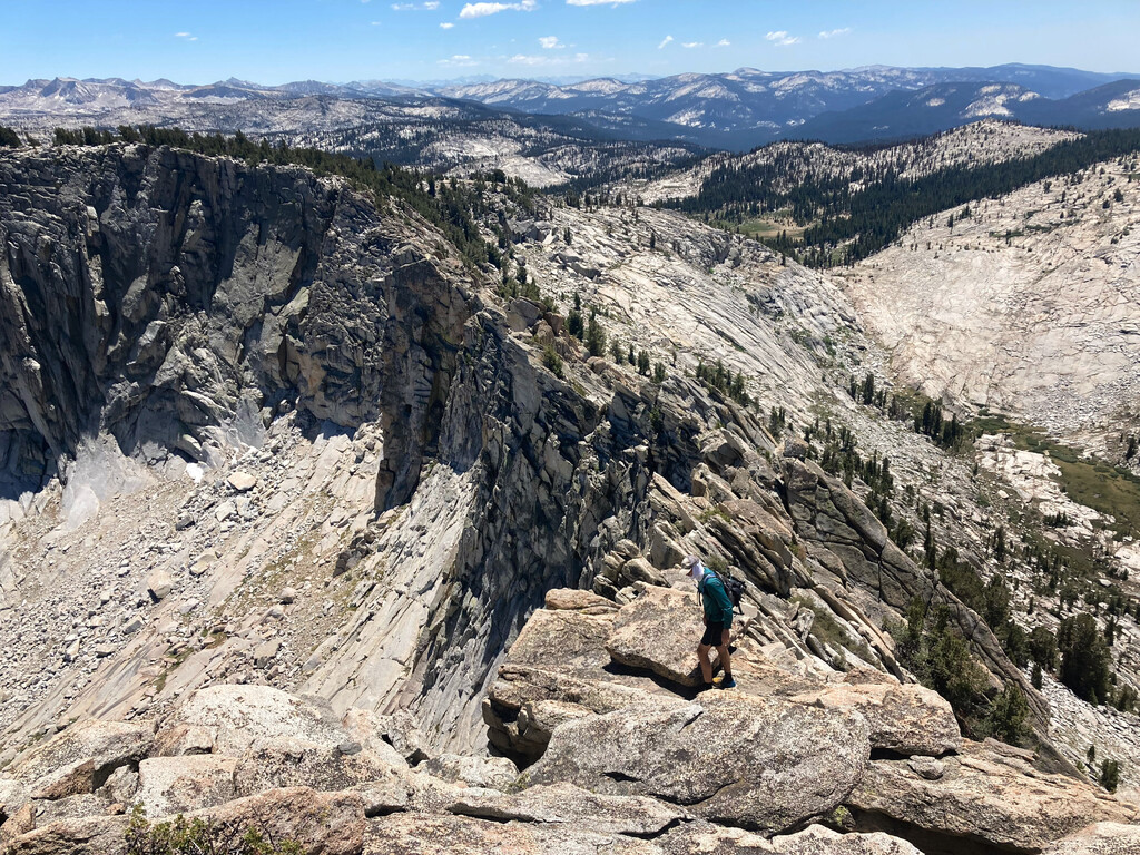
You will notice the west and east ridges and their exposed features, but follow the slabby granite directly north. It will drop you down 200 feet or so before finding yourself at the base of this beast. From here, scramble, press, and grab all the chicken heads to make your way up. If you're anything like me, let the stoke settle in and take a few deep breaths to soak in the glory of this granite. Miles 12 to 14 are fun and slightly exposed as you make your way back down towards Burnt Corral Creek. Mile 15 to 18 was more navigating and a stop for water. Miles 18 to 23 is where you may want to turn the power back on if you still have it in you seeing this section is the same as the first 6 miles.
This route has it all - amazing views, great access to water, and a beautiful face to climb. If you're looking for a sufferfest that rewards, this route is for you.