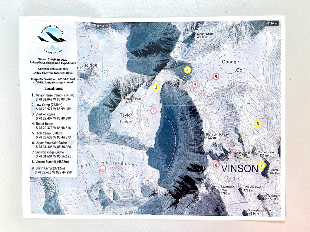
Location
Antarctica
Distance
35 km
Vertical Gain
3,050 m
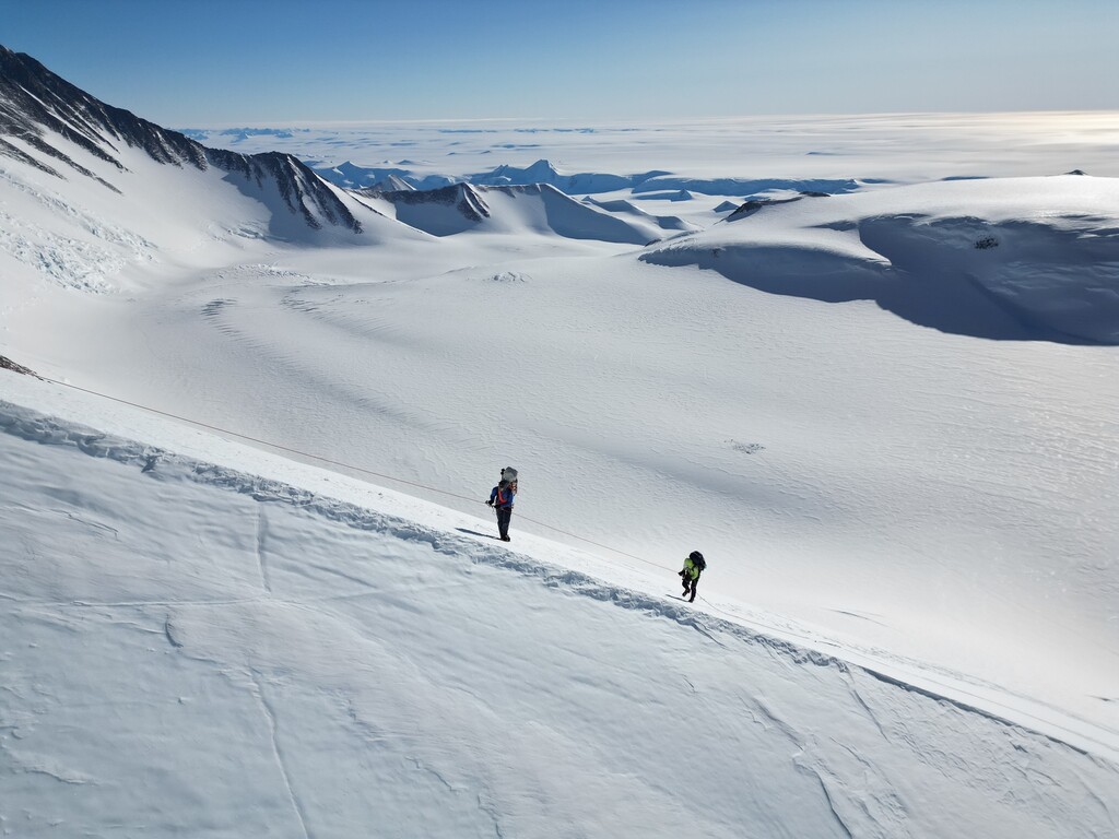
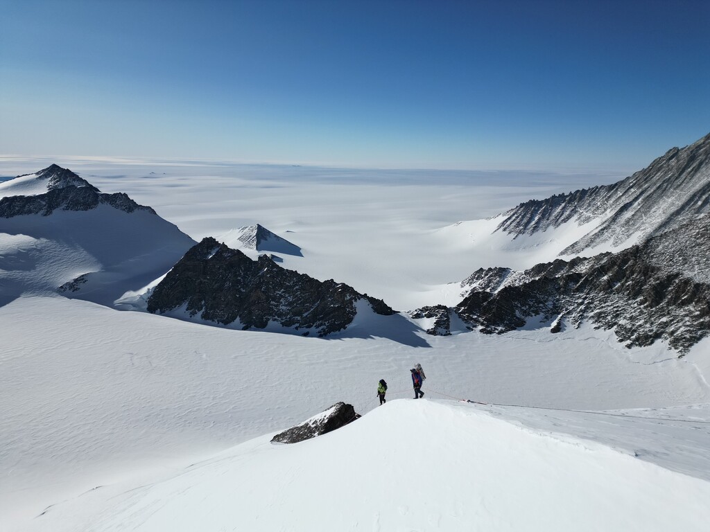
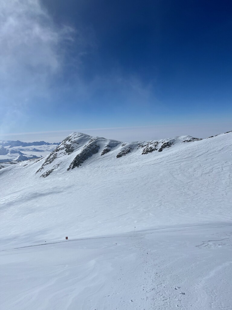
Description
GPS Track
TrailRun20221224112734.gpx5.47 MB
FKTs
Female
| Fernanda Maciel | 9h 41m 38s |
Female
| Fernanda Maciel | 6h 40m 19s |
Images