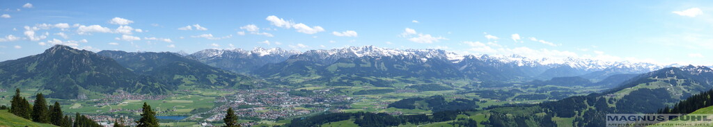
Route: Nagelfluhkette (Germany)

Location
Germany
Austria
Distance
31 km
Vertical Gain
2,500 m
Description

https://en.wikipedia.org/wiki/Nagelfluhkette:  The Nagelfluhkette is a mountain range which is located in Bavaria, Germany and Vorarlberg, Austria. It reaches a maximum of 1834 m above sea level and borders the northern edge of the Allgäu Alps.

The "Nagelfluhkette" is a mountain range situated in the nature park named after it - the "Naturpark Nagelfluhkette". It´s unique as the entire rock in the range is conglomerate. Most people do it as a three day hike. This the most obvious route to cross the entire range from east to west although multiple versions of the hike exist. It starts at the tourist information in Blaichach and ends at the central square of Hittisau close to the tourist information.

Crossing 16 mountains the route covers a distance of approximately 31 kilometers and 2500 m of elevation gain.
The route mostly consists of alpine single trails. While some are more easy and runable there is also easy scrambling involved.

The only out and back along the route is a short section to get to the summit of the "Rindalphorn".
Along the route there are no natural water sources. Apart from the mountain station of the "Hochgratbahn" there are no places to buy food directly on the route.

GPS Track
Images