Route: Nankoweap Trail (AZ)

Submitted by Max Wilson on Sun, 05/23/2021 - 01:26pm
Location
Arizona, US
Distance
28 mi
Vertical Gain
7,570 ft
Description

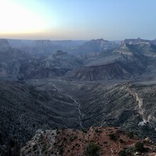
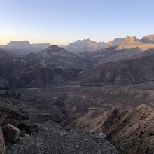
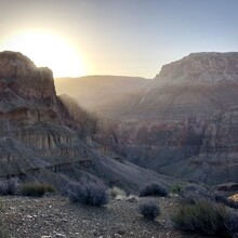
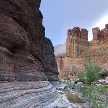
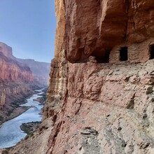
Not for the faint of heart or those fearful of exposed trails. Starting from Saddle Mountain trailhead (Highway 67/FR 610/Trail #57 at 8,800 ft) run down the Nankoweap Trail to the Colorado River, and back.  After leaving the rim, the Nankoweap Trail snakes along the red esplanade sandstone. The trail is fairly well marked and ... Read more

Leaflet | Map data © Google
GPS Track

Comments

User Picture
Profile picture for user avereacuore

I never thought I wanted to do a route into the Grand Canyon until just now.