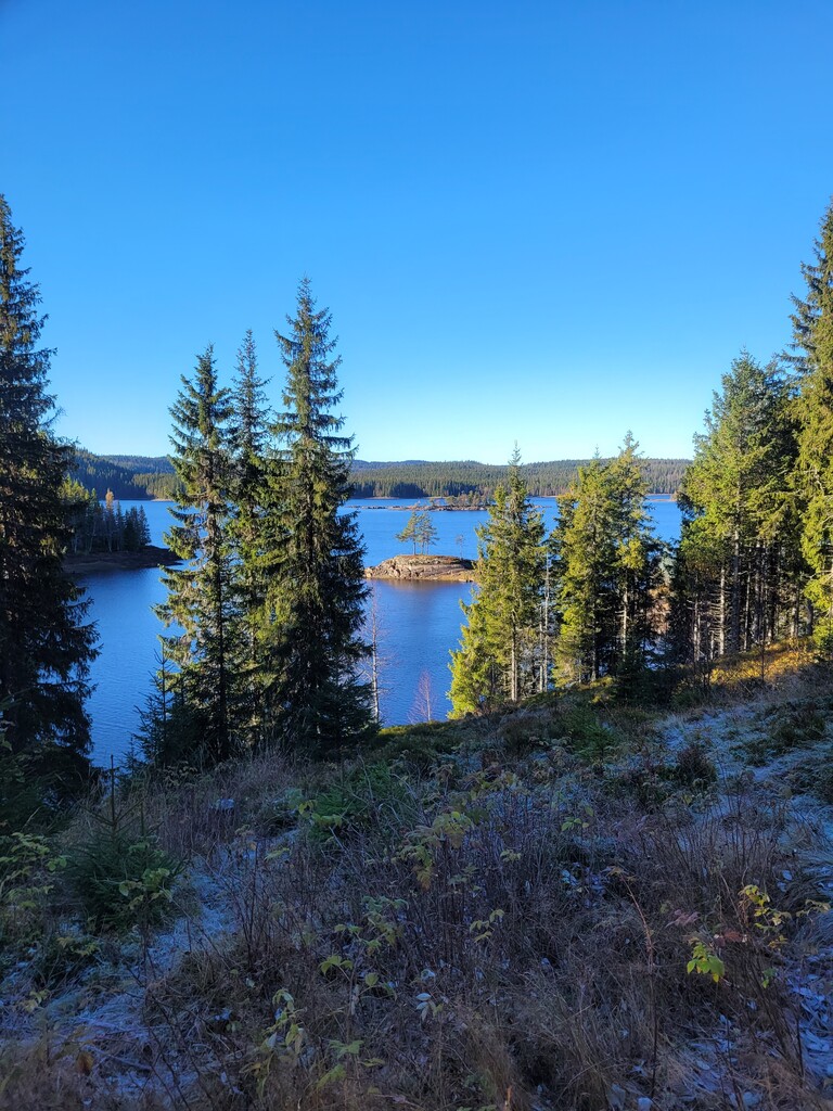
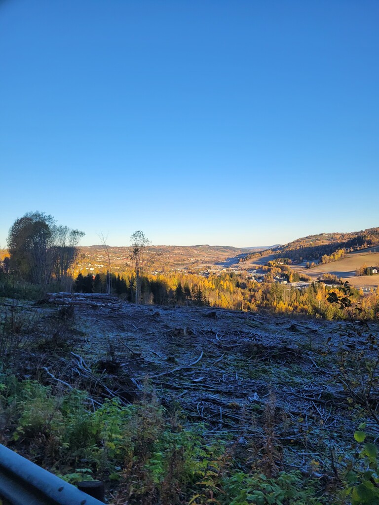
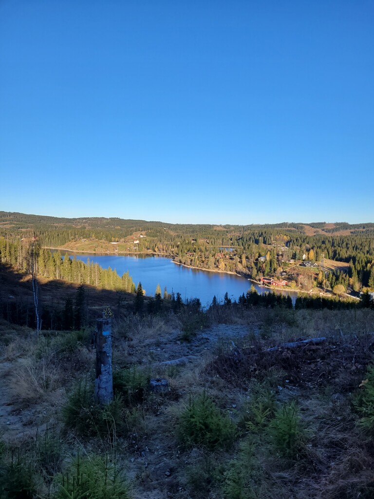
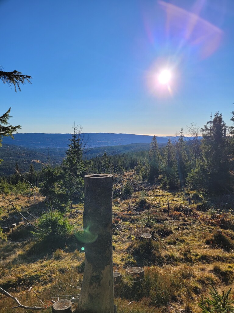
"Nordmarka på langs" is a route through the forests north of Oslo. It spans the length of the area known as Nordmarka from the train station at Roa to the Metro station at Sognsvann. Forests, hills, and lakes are the most important geographical features here. There are many great viewpoints along the route, with views over Nordmarka and beyond. It passes by three well known cafés/restaurants that are open most of the year, all of them sell food and drinks and are the only public toilets along the route.
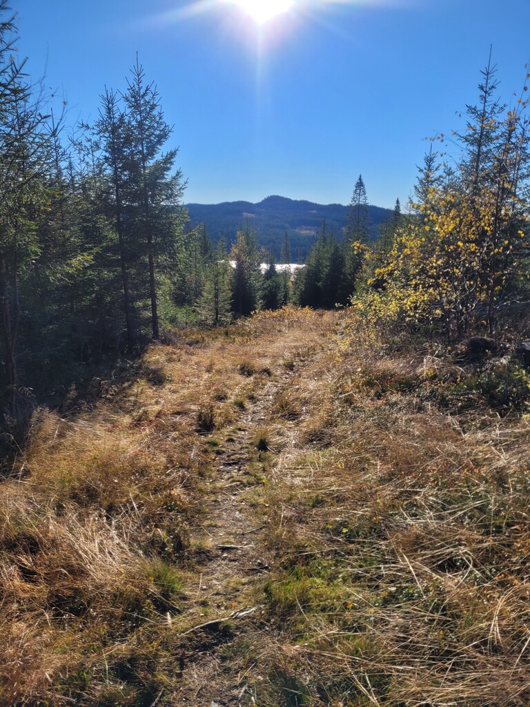
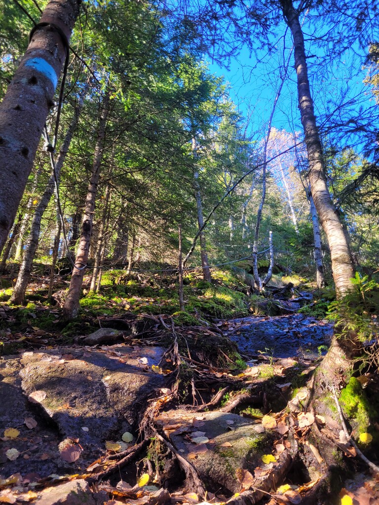
The thinking behind creating this route was to create the most satisfying line from north to south between places with public transport, using mostly well established trails and gravel roads. "Nordmarka på langs" is a well established way to have a long day out for running, cycling, skiing and canoeing, but no official route exists. This route is an effort to remedy that, at least for running. Trails are prioritized over roads where it is logical, but when using a trail would deviate too much from the most efficient route roads are used instead. The trails are mostly a bit technical with roots and rocks on the forest floor and some short bogs as well. When it's wet the trails become more technical and they can be quite difficult if they are soaked or icy. It is not marked so a GPX file is needed to follow this route.
The route starts with a road section from the train stations at Roa and is mostly on gravel/paved roads the first 8km up to Mylla. This part also contains one of very few trails that are unmarked, but it is still a clear trail and easy to follow.
From Mylla to Gjerdingen is a 5km trail over the hill called Bislingen, followed by 9kms of mostly gravel road with some connecting trails to Katnosa.
After Katnosa starts the climb to Kjerkeberget (the highest point in Oslo) which contains the last stretch of unmarked trail to get to the top from the north side. This trail is also not used by that many people so it can be a bit hard to find, but it's only 500m long. In total the stretch from Katnosa to Sandungen is 4km long.
Then the route goes 6km over the hills Sandungskollen, Askehøgda, Porthøgda and Kikuttoppen to Kikutstua. The downhill from Kikutstua is very steep and some parts have ropes. Kikutstua is the first open café on the route.
The next part is another 6km on mostly trails from Kikutstua to the next café Kobberhaughytta. The route then continues to the last café on the route Ullevålseter, which is after 5km on mostly trails.
After Ullevålseter the last 6km is mostly downhill on runnable trails or gravel roads before the route ends at the Sognsvann metro station.