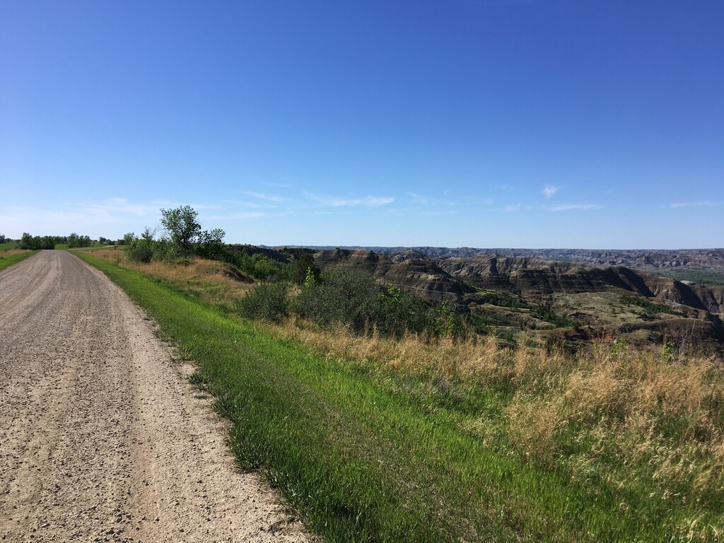
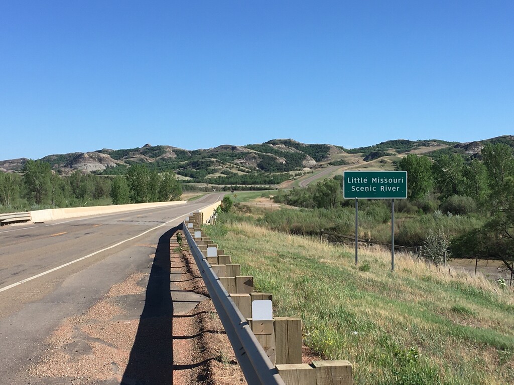
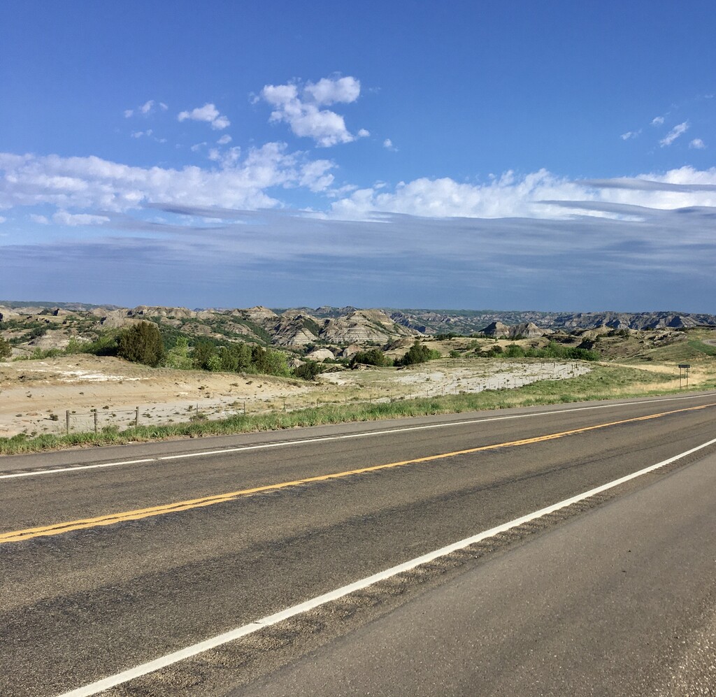
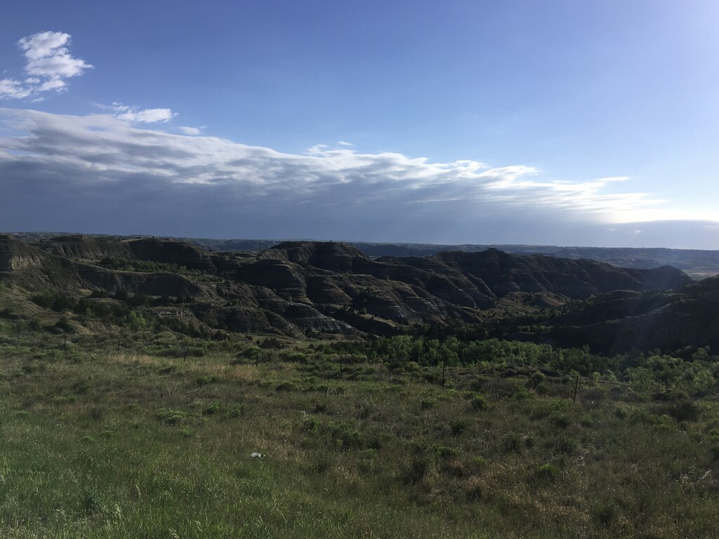
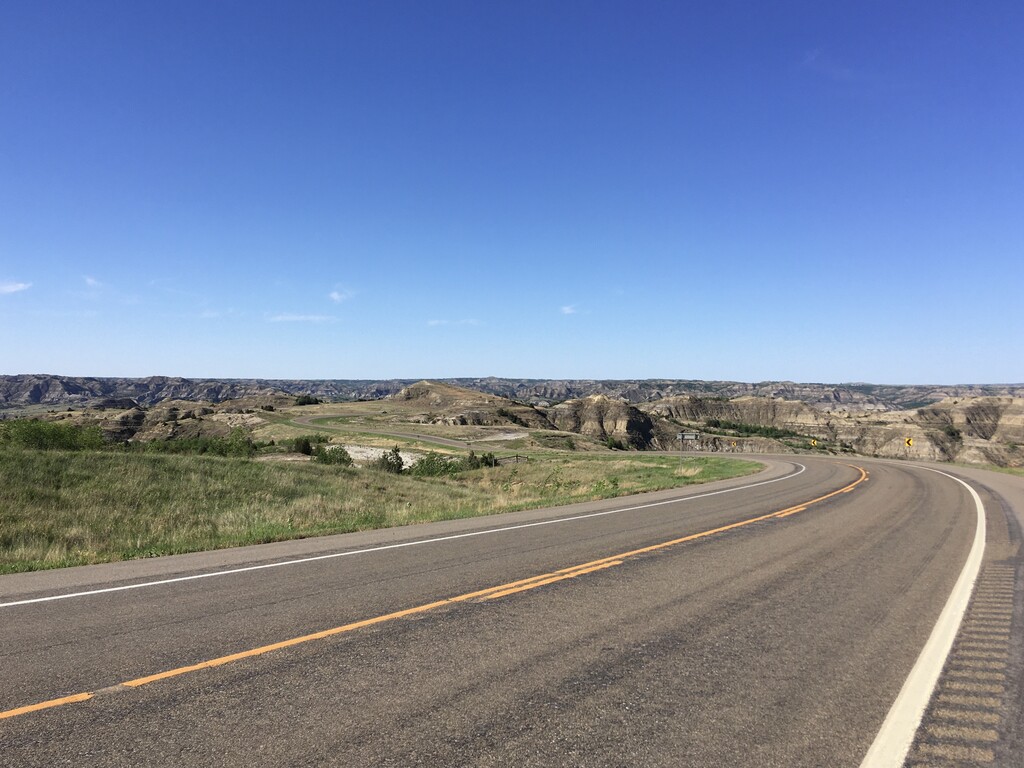
The French called this area “bad lands to cross” as cliffs, sinkholes and creeks make this terrain very challenging compared to the surrounding plains, especially when wet and muddy. The same sandstone, clay and shale layers that make this area difficult to cross also create colorful and fascinating formations not found in many other areas. The North Dakota Badlands are largely centered around the canyon or valley created by the Little Missouri River.
I had been thinking about doing a Badlands crossing for a couple months. There are a few routes that I considered, including one mostly on trail with a river crossing, but I believe crossing on North Dakota 22 is the most visually appealing. Both sides of the valley have a very distinct rim along this portion of the river. While the southeast side of the Badlands often has a sharp drop off, even having a “Rim Trail” in one area, the west and north rims are sometimes less pronounced. This is also likely the quickest way across.
The logical endpoints for this route seem to be 10th St NW (the gravel rim road to Little Missouri State Park) and BIA Rd 14 on the north rim. This route is all on road, but there are large shoulders to run on. The double crossing is 12.8 miles with 1150 feet of gain.