This is a 304-mile route recently linked together by Kevin Silvernale. People have thru-hiked the route the last couple of summers, with updates shared in a route Facebook group and via the NOCO trail website. Depending on route direction, it typically begins near Estes Park and ends near Glenwood Springs, broken into four major segments.
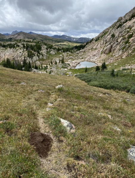
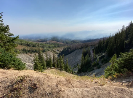
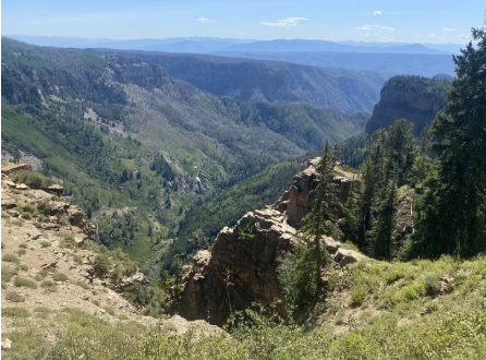
This route travels across beautiful Colorado terrain that has not previously been linked together in an extensive way like this. Some highlights include:
- An ascent of just under 50,000 ft (49,861 ft)
- Travel through 5 wilderness areas, 4 national forests, a state park, and Rocky Mountain National Park, and nearby towns including Estes Park, Walden, Steamboat Springs, Oak Creek, Yampa, and Glenwood Springs
Overall, this NOCO Trail route provides trail visitors with the opportunity to a see a wide range of Northern Colorado trails and spots on a huge 'new' thru-hike route. It's a creative new trail opportunity with a grassroots origin.
There is a website with more information, including maps and photos. This is where GPX files have been sourced from (for the redline route- which is the route without alternate segments). Website link: https://www.northerncoloradotrail.org/
Note: This is not a segment of the Colorado Trail. GPX files and photos provided are from the NOCO Trail website. A running partner and I plan to run the route this summer, and have received permission from Kevin via email to submit this as a route to the FKT website. Thank you for your consideration!



Comments
I’m on my way to Glenwood Springs to give this route an eastbound attempt to Estes Park. I’ll be attempting to set the M self supported time— and revel in the beautiful terrain of the Rockies. Starting out Jul-7-2026.
thanks for putting this on my radar @mariav
Oh heck yeah! Props to the route creator Kevin for being cool with me submitting this to the site.
My running partner and I are beginning a supported attempt in a couple of weeks starting from Estes Park. Assuming you'll be done before we get out there so doubt we'll cross paths, but best of luck and I hope you're having a blast out there so far!
Let me know how it goes for you on the other end. And reach out if you happen to want any logistical details while you're on-route, I've got a caltopo map I'd be happy to email.
@Mariav can you send me your CalTopo? This route looks beautiful and a good switch up from the Colorado Trail fire closures! When do you and your running partner plan on starting your attempt?
Hey yeah! Shoot me a DM on Instagram (@greenivicini) or strava (Maria Vicini) if you have social media and I can share it. We’re starting July 27th.
There’s also a Facebook group with info from people who have hiked it this year or are starting soon!
Quick heads up that I believe there is a small fire closure on the route right now for the national forest closure related to the fish hook fire right outside of steamboat springs. At least thats what I think from the closure map, could be wrong. We will either detour around that section when we get there / or hope for major precipitation in the coming days.