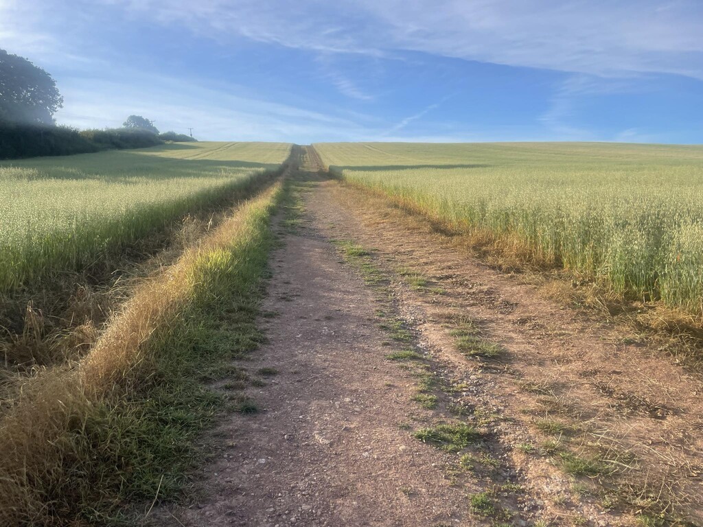
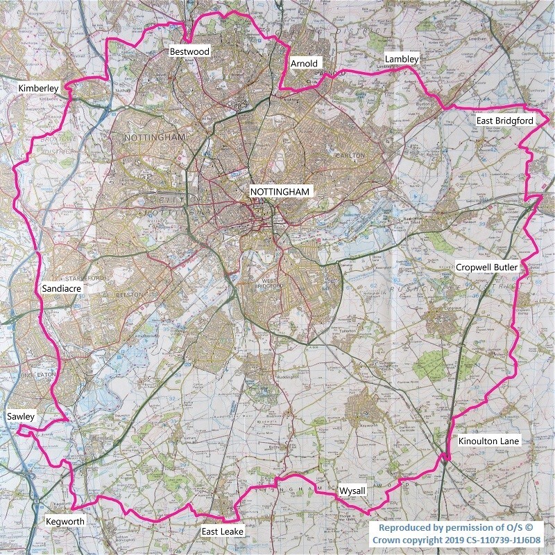
This walk is a 60-mile route, circumnavigating the city of Nottingham, and divided into 12 sections. It celebrates the villages and countryside around Nottingham, and explores its rich tapestry of local history – from the rolling hills and industrial towns of the north-west to the alluvial plains of the Trent and Soar with its small villages in the south-east.
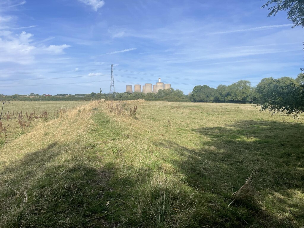
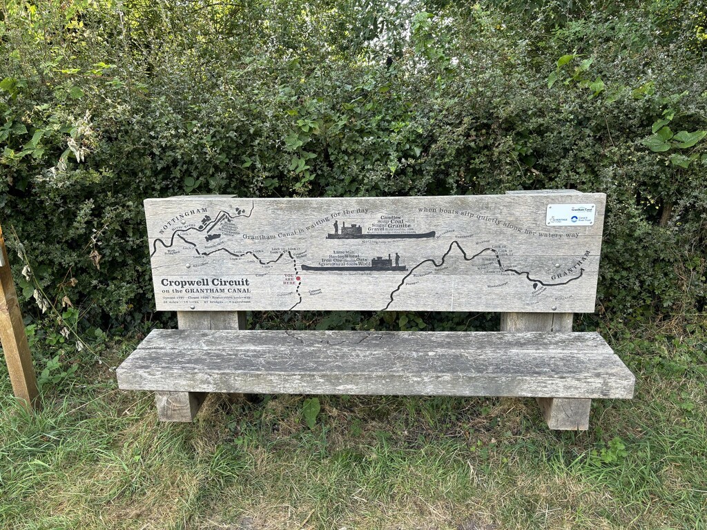
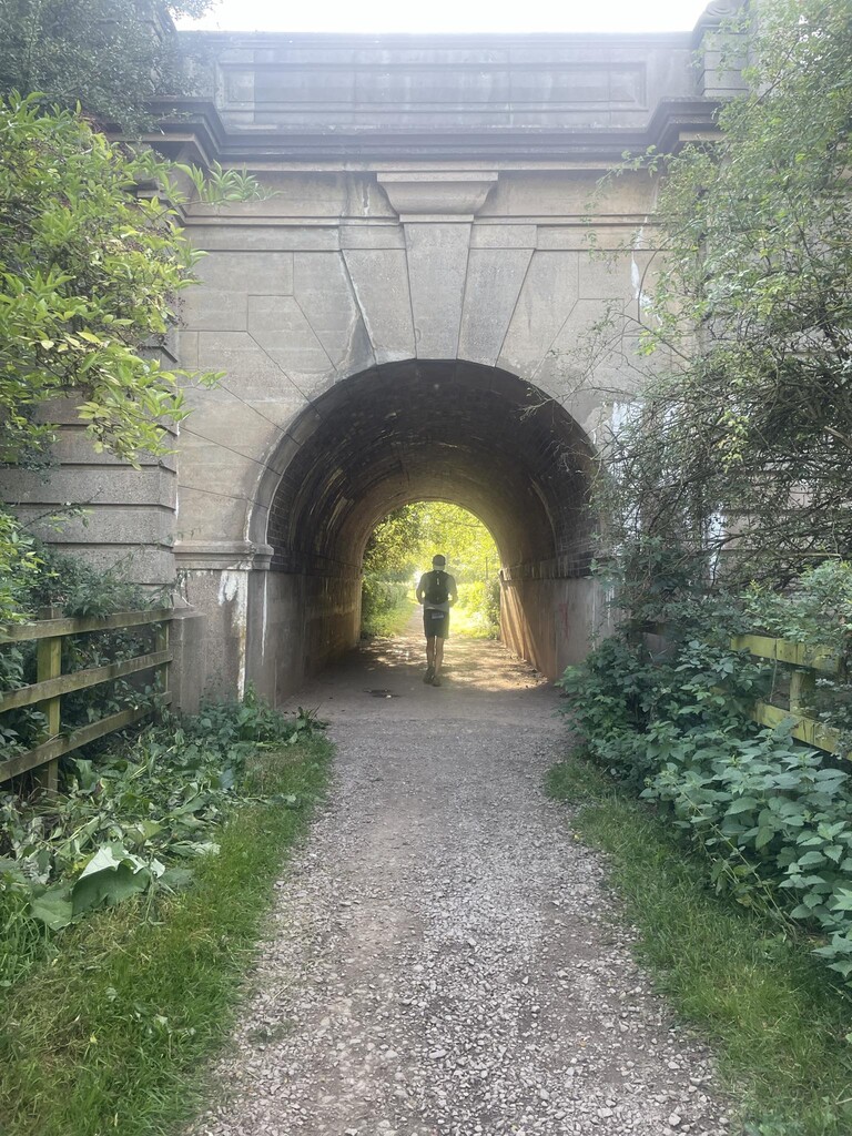
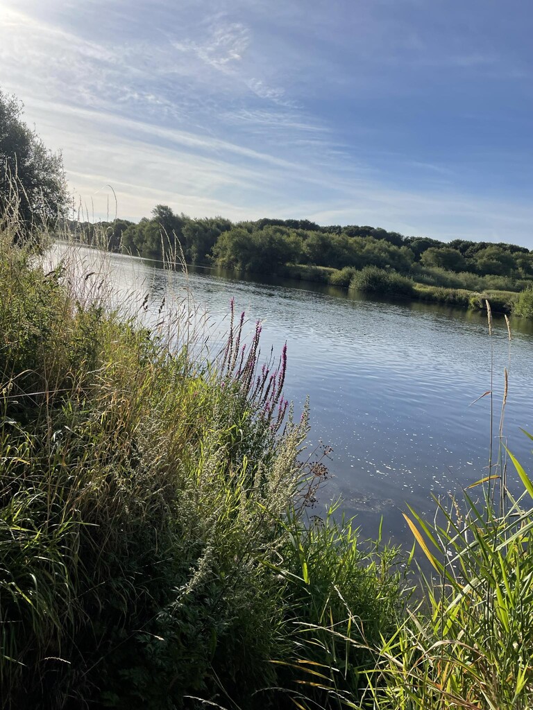
Criss-crossing this area is a whole range of transport routes used over the centuries. Our walk explores many of these. Roads: from ancient trackways and roman roads to sections alongside modern motorways. Waterways: the route crosses the Trent, follows the Erewash canal (built for industry and still open), and the Grantham canal (built for agriculture and closed in the 1930s). Railways: we follow long-closed railways (now green walkways), cross operational railways, and near Sandiacre follow alongside the route of the proposed new HS2 line. Flight: we even visit the site of 2 wartime airfields and pass close to East Midlands airport. Our history of travel is well represented!
The route also visits many of the towns and villages around Nottingham: exploring their varied histories, and making use of their watering holes and public transport.
The walk was devised in 2019 for the Bridgford Methodist Walkers, to give them a linked series of walks over a year (though Covid-19 delayed completion by 2 years!).