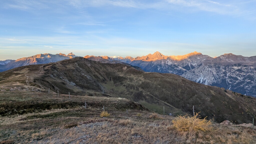
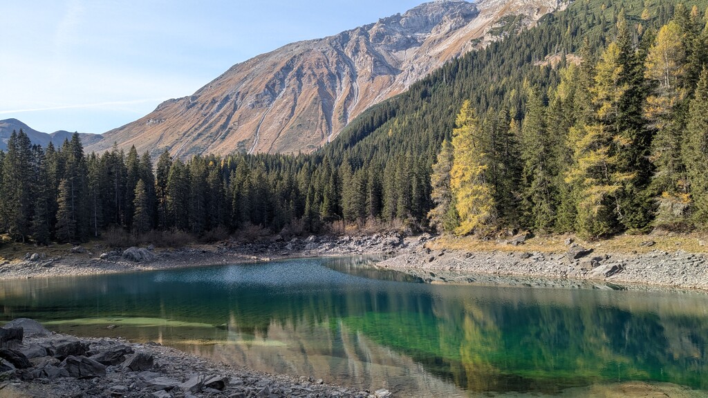
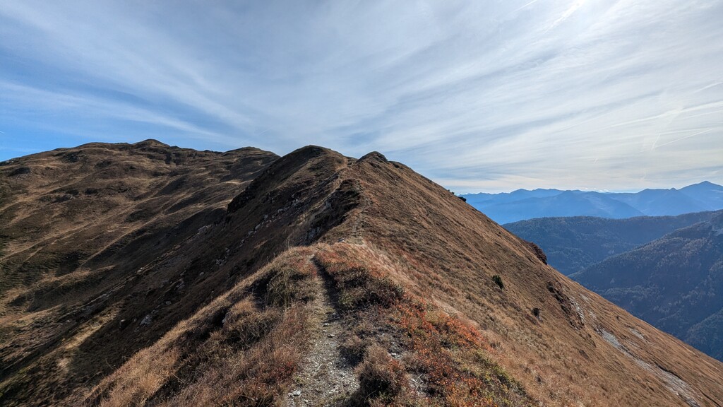
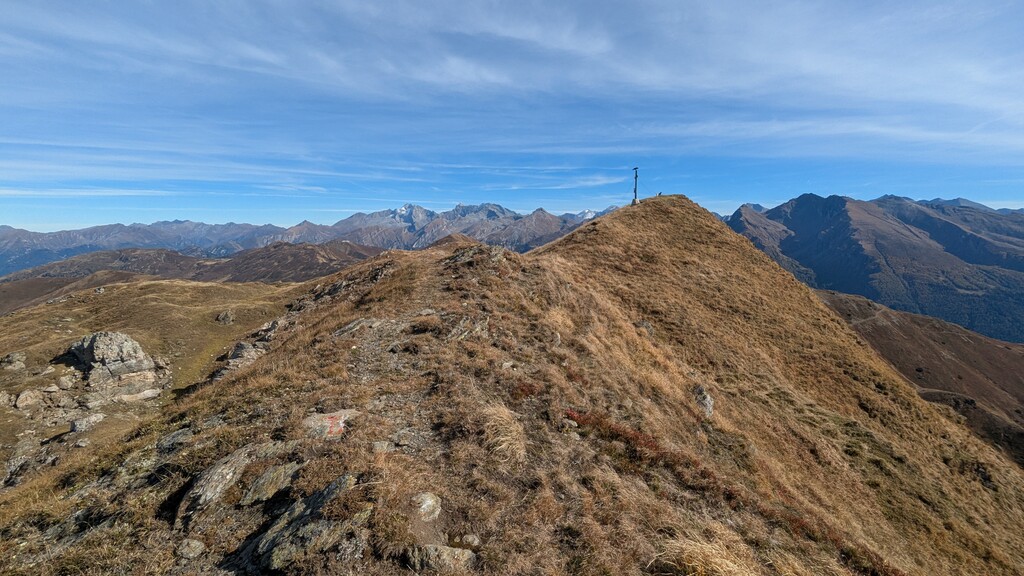
Challenging alpine loop in the Stubai Alps, near the Austrian–Italian border. The route connects two scenic mountain ridges on opposite sides of the Obernbergtal, offering spectacular panoramic views of the surrounding peaks, particularly the Habicht and the impressive Tribulaun massif.
Rather than traversing the highly alpine terrain of the Tribulaun/Schwarze Wand peaks, this variant descends into the Obernbergtal near the valley head before climbing approximately 1,000 vertical metres back up to the Portjoch. This creates a demanding but less technically exposed alternative to a potential full ridge traverse.
The section from Portjoch towards Sattelberg follows the Austrian–Italian border and adds a fascinating historical dimension. Remnants of former Italian military infrastructure, including bunkers, defensive positions and military roads dating back to the period surrounding World War II, can still be found along this ridge.
With its combination of extensive ridge running, steep ascents and descents, numerous summits, spectacular mountain scenery and historical landmarks, the route offers a distinctive and physically demanding alpine endurance challenge.
This Light variant starts at Hotel Alpina in Gries am Brenner and follows a clearly defined loop that can be repeated independently, while leaving open the possibility of a separate, more technical full traverse via the Tribulaun peaks in the future.
Route references
This route is a newly created alpine circuit combining several existing hiking trails and ridge sections. There is currently no single published guide describing the complete loop.
The following resources document individual sections of the route:
These references describe individual sections rather than the complete FKT route. The submitted GPX track defines the exact course, including the connecting sections and the valley crossing near Gasthof Waldesruh.