The Oregon Volcanic Skyline Route is inspired by the volcanic peaks that dominate the skyline of the state of Oregon, the history of the Oregon Skyline Trail, and the many existing long-form FKTs which include groups of peaks and incorporate endurance, scrambling, off trail travel, and navigation (eg, WA 100 Highest, California 14ers, Nolan’s 14, Glacier National Park 10k Peaks, and the Alps 4000m).
As with other similar routes, this is an open course.
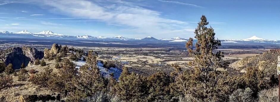
Oregon’s geography is unique from the geography of neighboring states Washington and California, particular within the Cascade Volcanic Arc. In the northern part of the state, Mt. Hood dominates the landscape, following south to Central Oregon’s “splendid panorama of high volcanos” (Smoot, 1992). The Cascade Volcanic Arc continues south though the state of Oregon, with Mt. McLaughlin as the southernmost of those recognized peaks. In Washington, the arc is dominated by Mts. Baker, Rainier, St. Helens, Adams, and Glacier Peak. The state also boasts a vast mountain range in the Cascades which divides the state east and west more than Oregon’s syncopated volcanic peaks. The Arc continues into northern California, ending with the dominating but isolated Mt. Shasta and Lassen Peak.
The Oregon Skyline Trail was established in 1920, predating the conception of the Pacific Crest Trail which was to link up several long-distance trails throughout the west coast. The Oregon Skyline Trail originally traversed between Mt. Hood and Crater Lake, but was later revised to cross the entire state, nearly border to border, and the route changed “to more closely follow the backbone of the mountains, thereby affording hikers and equestrians more scenic views” (USDA Forest Service, 1936). In 1968, the creation of the Pacific Crest National Scenic Trail incorporated the Oregon Skyline Trail, and now it is referred to as the Oregon PCT.
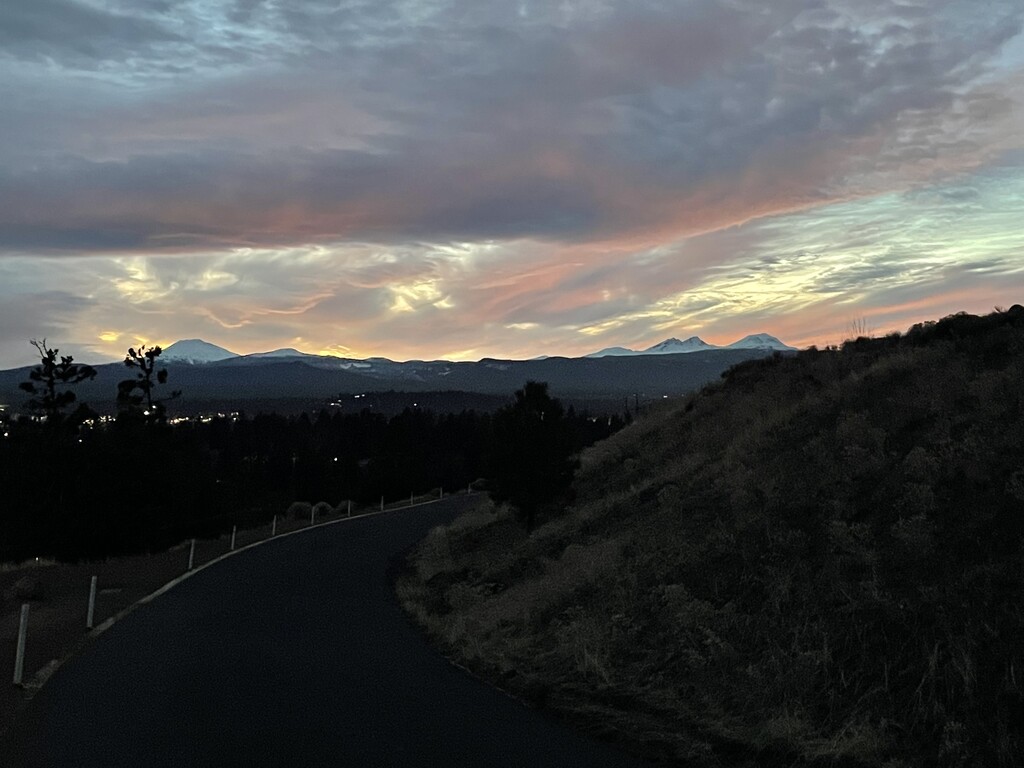
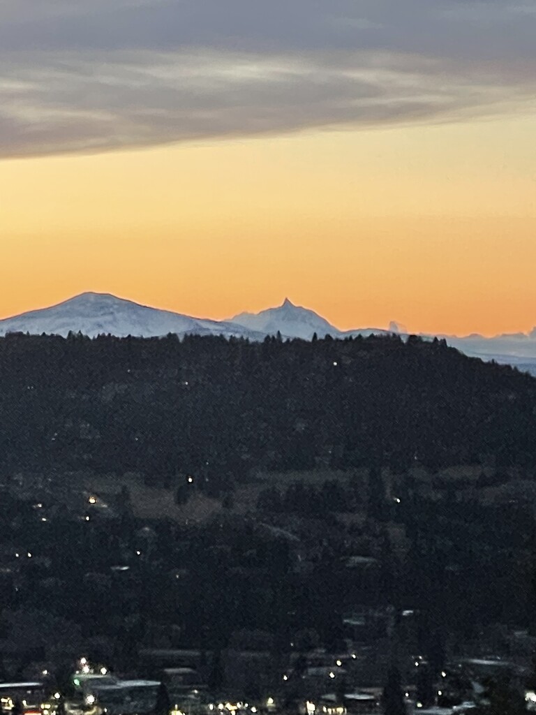
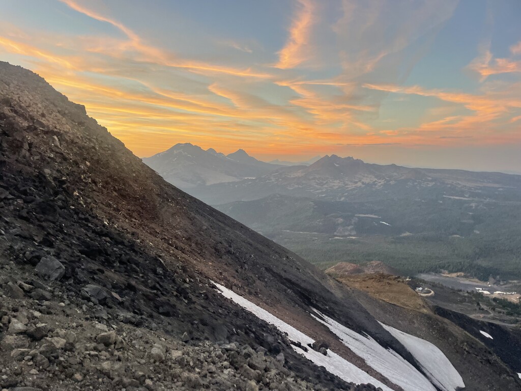
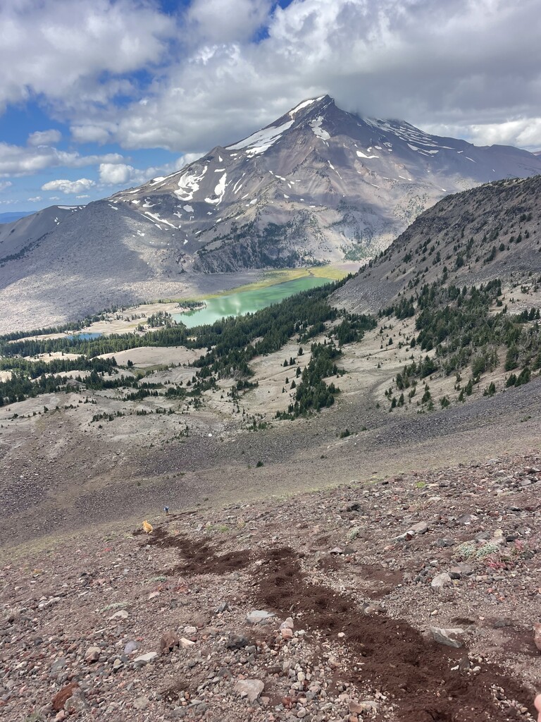
In viewing the Oregon skyline on a clear day, one can spot every major peak from Mt. Hood to Mt. McLaughlin. The aesthetic beauty of this line alone is a compelling reason to create a linkup of the peaks, as well as the uniqueness of the peaks themselves, and the geological history noted above. In addition, the protected wilderness areas and national forests linking this route together provide numerous trails, which together with off-trail travel allow for an overall remote experience. For these reasons, the route lends itself to the creation of a Fastest Known Time.
In addition, this route includes many peaks which have FKT’s themselves either alone, in circumnavigation, or in combination with nearby peaks; and which have been very popular among high level athletes. The route would attract mountain athletes whose disciplines combine trail running, mountaineering, navigation, long distance logistics, and ultra endurance. As noted, similar style routes which have garnered attention for FKT’s include, but are not limited to, the California 14ers, Nolan’s 14, the Glacier National Park 10k Peaks, the Washington 100 Highest, and the Alps 4000m.
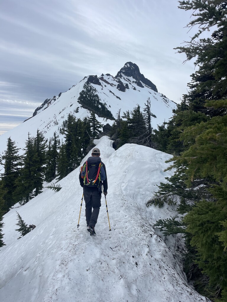
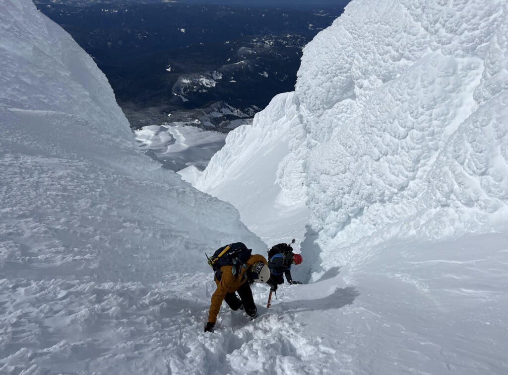
This would be the longest route in Oregon to include the skills of endurance, mountaineering, and off-trail navigation. It lends itself to an open course, whereby one completes the route via the most efficient way possible. Much of the PCT follows the volcanic lineup, but there are many other trails and off-trail travel that would make the linkup a more interesting speed effort, and lend to more creative planning- which is why it is proposed as an open course.
In specifying which peaks to include in this route, elevation and prominence was considered along proximity to the skyline route and aesthetic. We also considered what Jeff Smoot noted in his book “Climbing the Cascade Volcanos”: that some peaks were included “because of their high visibility, popularity, or geological significance.” Measured in feet:
Mt. Hood(11,249, prominence 7,707)
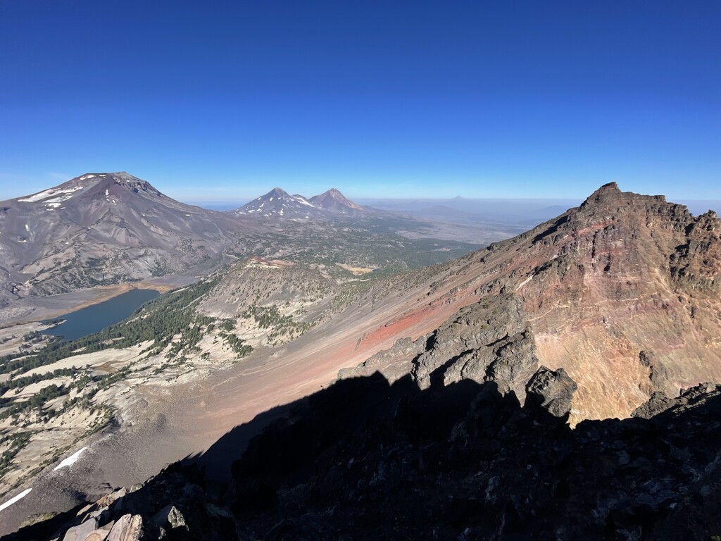
Mt. Jefferson(10,502, prominence 5,778)
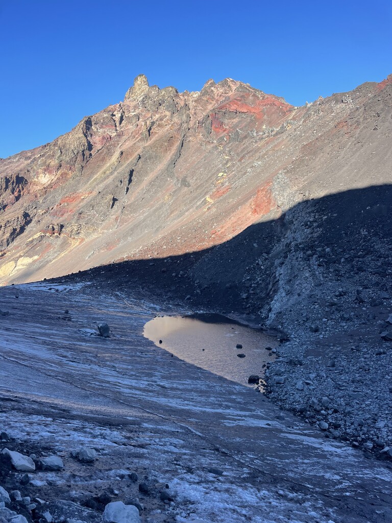
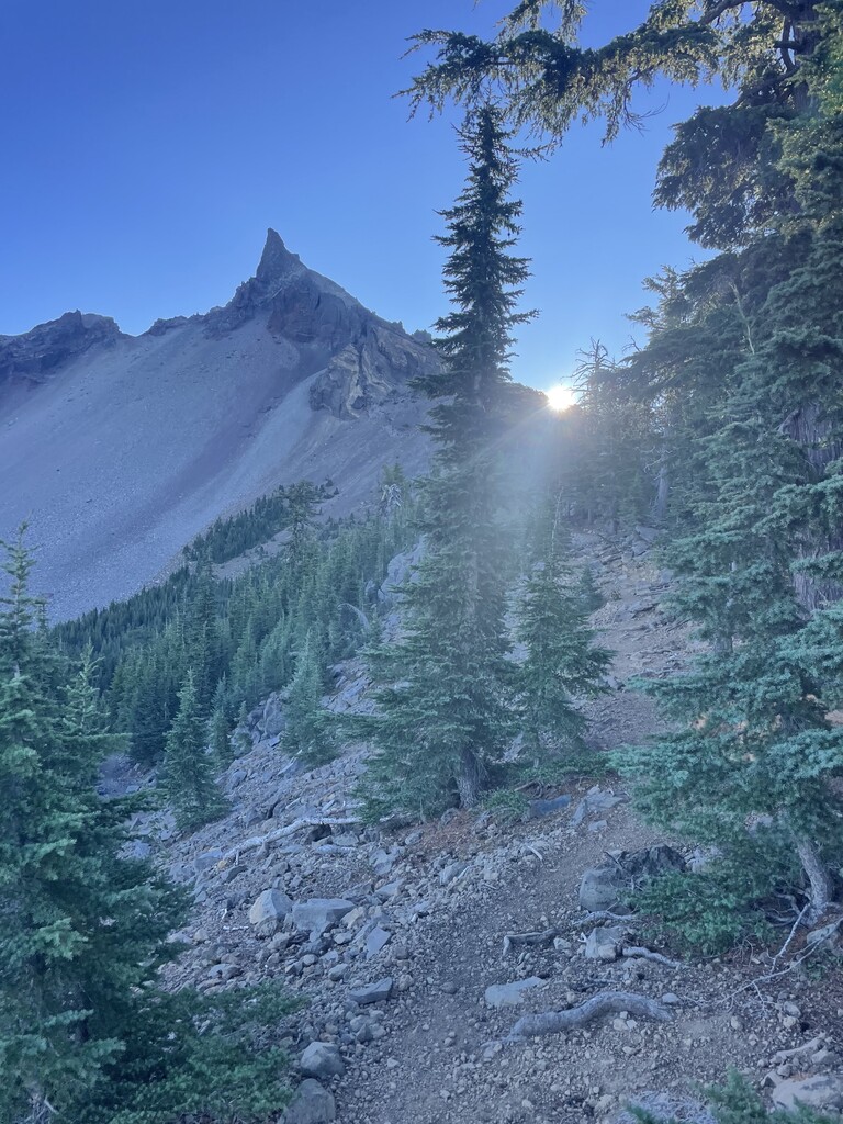
Three Fingered Jack(7,844, prominence 2,480)
Mt. Washington(7,795, prominence 2,552)
North Sister(10,085, prominence 2,726)
Middle Sister(10,046, prominence 1,125)
South Sister(10,358, prominence 5,587)
Broken Top(9,177, prominence 2,175)
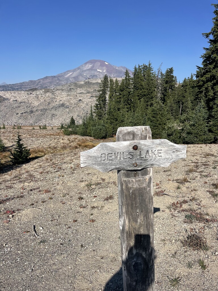
Mt. Bachelor(9,068, prominence 2,664)
Maiden Peak(7,823, prominence 2,579)
Diamond Peak(8,748, prominence 3,104)
Mt. Thielsen(9,184, prominence 3,343)
Mt. Bailey(8,375, prominence 2,969)
Mt. Scott(8,934, prominence 3,009)
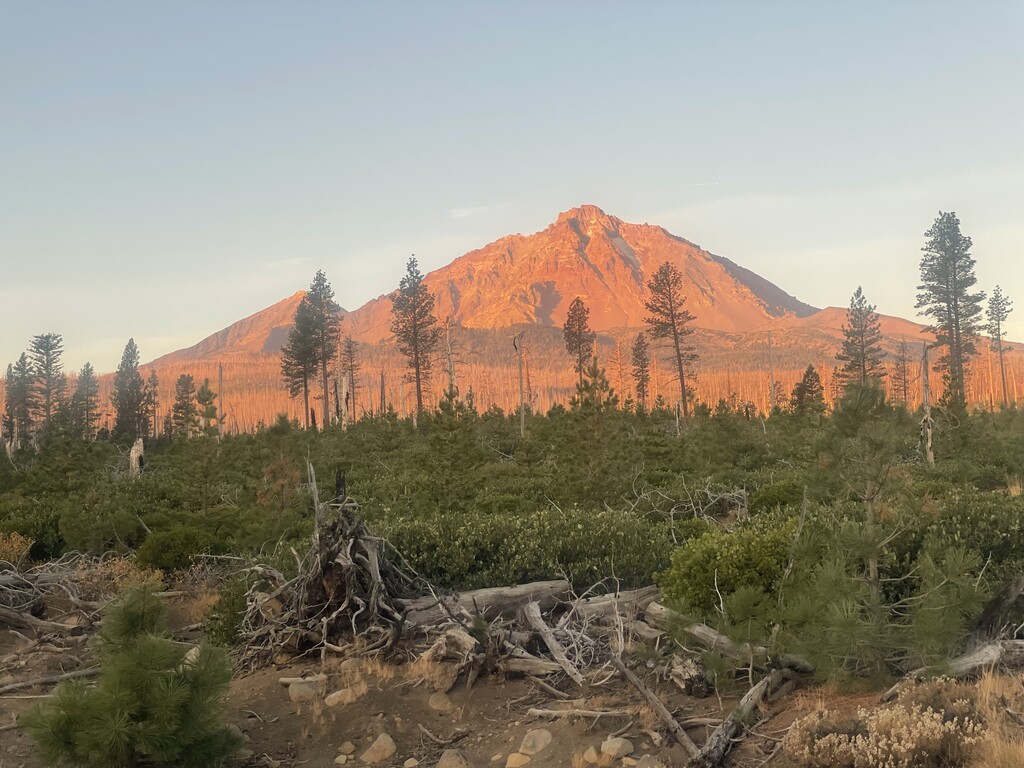
Mt. McLaughlin(9,493, prominence 4,455)
While other summits exist in the state of Oregon with greater elevation and/or prominence than those listed above, they are far enough outside what would be considered a “skyline view,” and aesthetically would not make sense to include in this route. The route begins at Timberline Lodge (Salmon River Parking Area) which is the start point to climb Mt. Hood. It would end at the Mt. McLaughlin Trailhead after summiting and descending.