Location
Sweden
Distance
39 km
Vertical Gain
193 m
Description
GPS Track
Vikbolandet.gpx156.01 KB
FKTs
Male
| Robin Johansson | 4h 17m 6s | ||||
| Jonas Rydström | 4h 42m 16s |
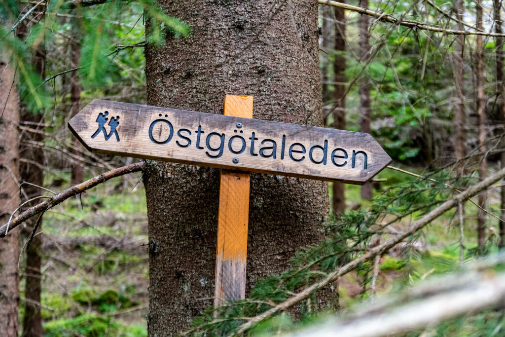
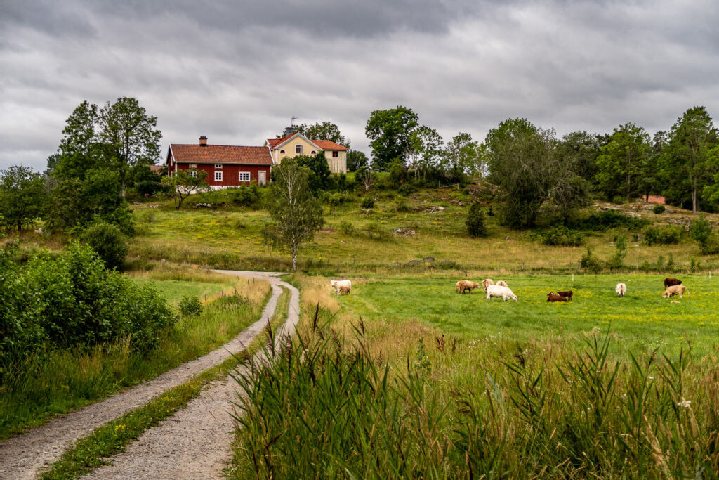
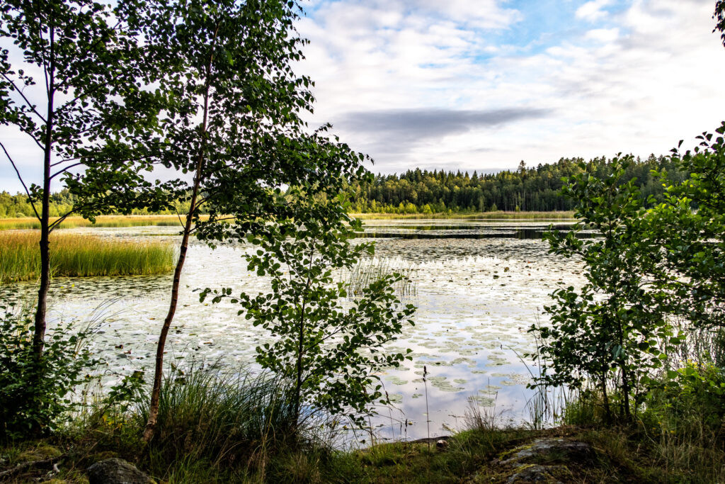
Images