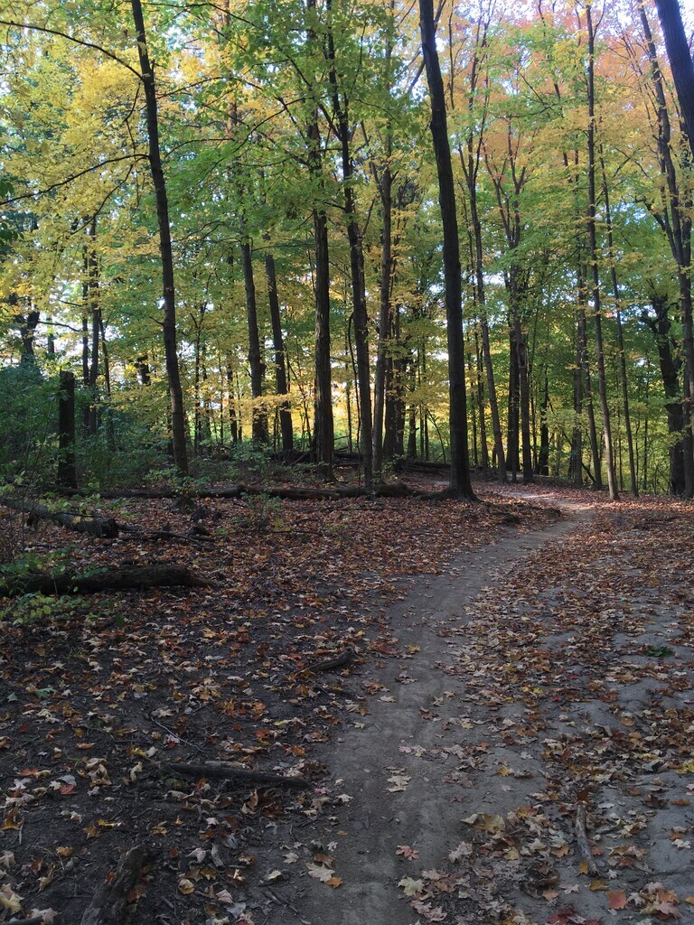
Route: Palos Trail System (IL)

Submitted by Ed Scheer on Sun, 04/25/2021 - 11:37am
Location
Illinois, US
Distance
50.21 mi
Vertical Gain
2,347 m
Description

These trails are very popular with runners in the Chicagoland area.  We have 50-mile and a 30-mile options. There is overlap, but also differences so please follow the route descriptions and GPX tracks carefully.

50-mile (Submitted by Ed Scheer):

Starting at Teason's Woods, running counter clockwise around Swallow Cliff.  then taking the difficult (northern path) along the Saganashkee Slough over to Bull Frog and running the black to yellow (going counter clockwise for the "big" loop") to (orange?) with a side trail that was cut in a few years ago (see GPX map for details) and back down to the Saganashkee Slough trail to continue west over toward Route 83 north.  Then ducking off the highway into the back trails leading to Water Fall Glen.  Running around WFG back to Route 83 and retracing the same northerly trail along Saganashkee Slough (not the level/flat trail next to the canal) back to Teason's Woods.

30-mile (Submitted by Becca Menke):

This route connects the three most popular trails in the Palos Forest Preserve into one ultramarathon loop: the Yellow Trail around Swallow Cliff, the Orange Trail around Wolf Road Woods, and the Yellow Trail around Cranberry Slough. It is a mix of multitrack and single track trails with a decent amount of elevation.  Parking is available year round at the start/finish Teason's Woods lot.  There is usually a portapotty at this location, or the nearest year-round facility is at the Pavillion next to the Swallow Cliff stairs. There are no drinking fountains/public water access available along the course, however there are multiple road crossings and/or parking lots where you can stash supplies. 

Directions:

Starting at 104th Street and the Yellow Trail (GPS: 41.684030, -87.874647), run counterclockwise around the entire Yellow Trail at Swallow Cliff.  Upon returning to the Teason's Woods parking lot, take the paved trail towards the traffic light at 104th/Calumet Sag Road.

Cross the roads and follow the paved path/sidewalk north across the bridge.  Just before the Saganashkee Slough parking lot, turn left to enter the single track canal trail.  Follow the more technical single track route (the one on the north side of the isthmus) along the Saganashkee Slough until the exit to 107th Street (GPS: 41.696414, -87.921313). 

Cross 107th street and stay to the right as you climb the hill to the Orange Trail.  Run counterclockwise (to the right) around Orange to the parking lot at Wolf Road Woods (completing about 1/3 of the Orange trail). 

Exit the Orange Trail to run counterclockwise on the full Yellow Trail loop around Cranberry Slough Woods. When you finish the Yellow Loop, you'll return to the parking lot, where you hop back onto the Orange Trail and continue counterclockwise to finish the remaining Orange Trail.  When you reach post #21, follow the blue offshoot back towards 107th street.  

Cross 107th street and follow the same technical canal trail you ran on before along the Saganashkee Slough.  This will take you back to the finish - the parking lot at Teason's Woods (GPS: 41.684256, -87.874387)

GPS Track
Images