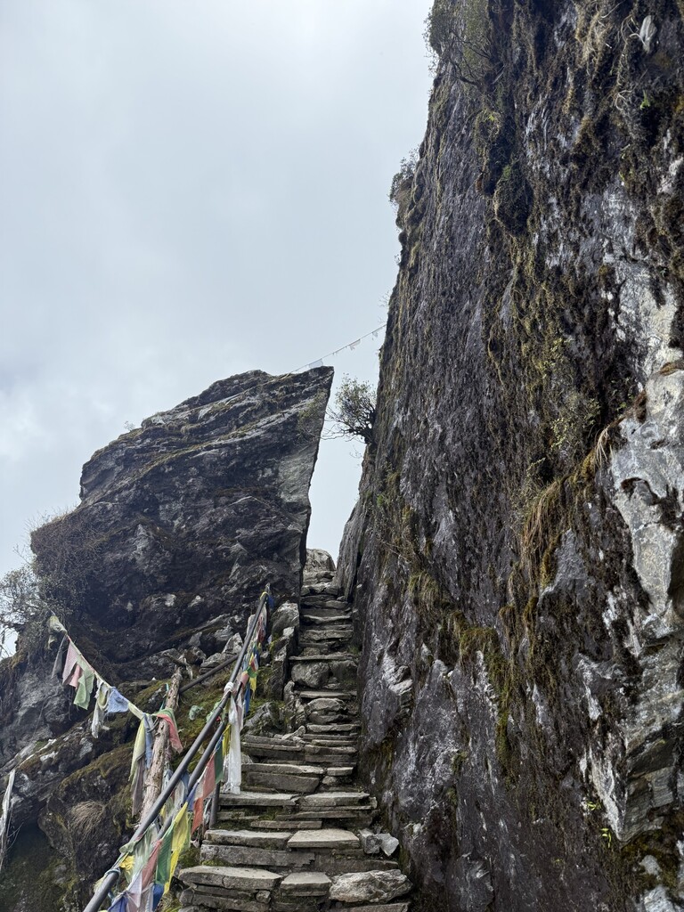
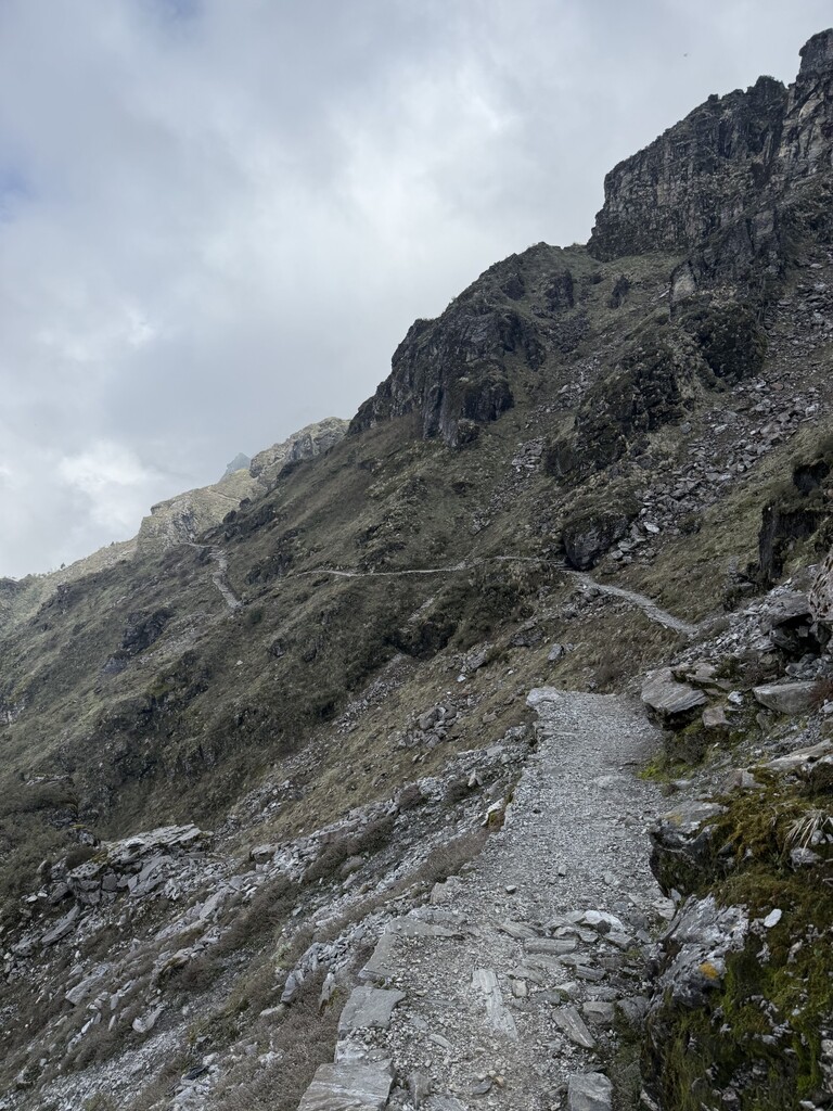
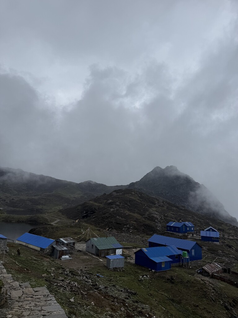
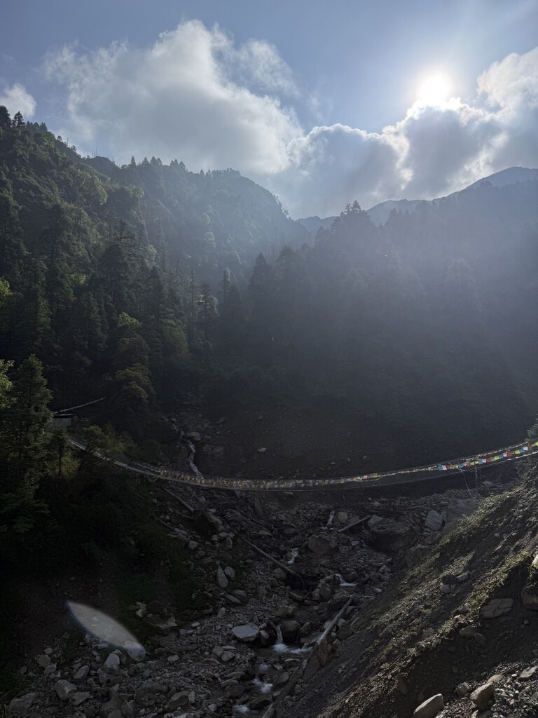
This is the out-and-back mountain route to Panch Pokhari, a popular trekking destination in Sindhupalchwok, Nepal that holds great religious significance too. It begins at the Chhimti buspark which has definitive trailmarkers marking it as the trailhead. The route climbs continuously through Tuppi Danda, Chokar Danda, and Nyashimpati, and tops out at the sacred lakes of Panch Pokhari, and returns via the exact same descent route to the starting point at Chhimti Buspark.
Route Variations & Elevation Data: I want to establish two official variations for this route so athletes can submit times for both:
-
Standard Route (Round Trip): Distance: 36.35 km
-
Total Elevation Change: Ascent: 2,958 meters, Descent: 2,963 meters
-
Description: From Chhimti trailhead to Panch Pokhari lakes, and a full return back to the Chhimti trailhead origin.
-
Ascent Only: Distance: ~18 km (17.89 km exact)
-
Total Elevation Change: Ascent: 2,566 meters, Descent: 385 meters
-
Description: Chhimti buspark up to Panch Pokhari Lake. (Bhairabkunda Trailmarker)
Note to Editor: The existing route listed on the site ('Panchpohkri') contains a major spelling error and was created using an incomplete GPX track that terminated early well above Tuppi Danda. This new submission provides the complete, uninterrupted out-and-back GPX file for the region.
Website that documents this route: https://heavenhimalaya.com/panch-pokhari-trek/