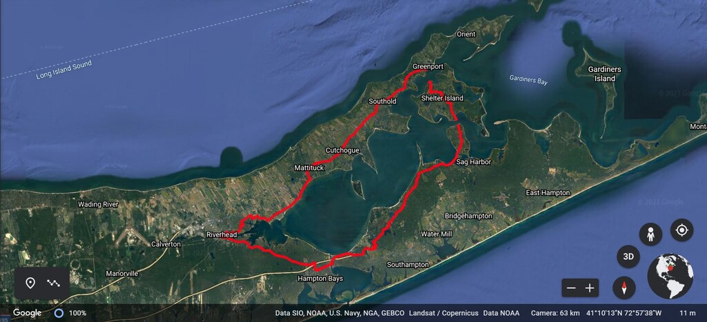
Route: Peconic Bay Circumnavigation (NY)

Submitted by TroubledRaccoon on Mon, 05/24/2021 - 06:16pm
Location
New York, US
Distance
57 mi
Vertical Gain
1,877 ft
Description

Route is a circumnavigation of Long Island's Peconic Bay including waterways in the tidal system East of Riverhead. 

Route begins and finishes at the historic landmark "The Big Duck" in Flanders NY (1012 NY-24, Flanders, NY 11901). 

From the big duck, the route heads west to Riverhead before turning east and following the North Fork of Long Island to Greenport. 

In Greenport, the route includes a Ferry to Shelter Island at the Mouth of Peconic Bay. 

On Peconic Bay, the route proceeds around 5 miles south to the Southern Ferry. 

Take the Southern Ferry across the Peconic River to North Haven. 

From there, proceed west following the South Fork to return to the Big Duck.

GPS Track
Images