We can only do this route when it’s low tide!
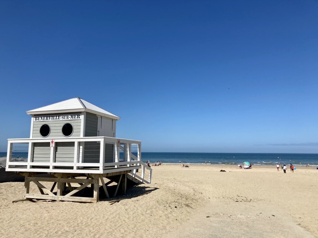
Starting at the end of Benerville beach, where the boardwalk coming from Deauville beach terminates.
Running to the west on the beach where normally the sea and waves occupy, and there is no way running on.
Passing by the famous The Black Cow Cliffs, are located between Houlgate and Villers-sur-Mer. Their name comes from a sailors’ song. When seen from the sea, these huge algae-covered blocks of chalk on the beach are said to ressemble a herd of cows grazing at the foot of the cliff.
The great palaeontological and geological wealth has rendered this site of major interest. We could find some fossiles like ammonite, oysters and dinosaurs.
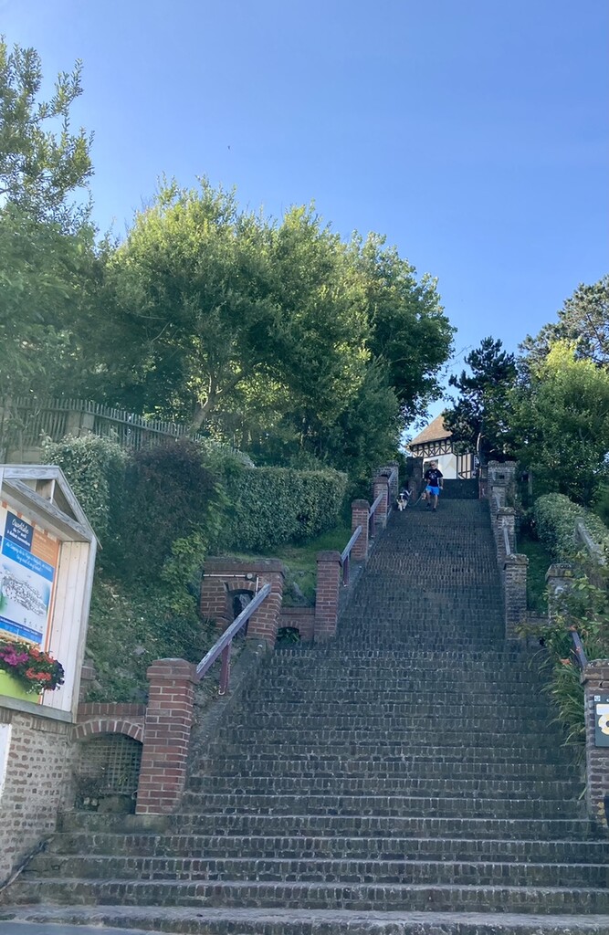
When reached to Houlgate beach, good bye to 10km of this sandy beaches, turn left to exit and run up these brick stairs called “escalier des 100 marches” 139 steps to reach the top.
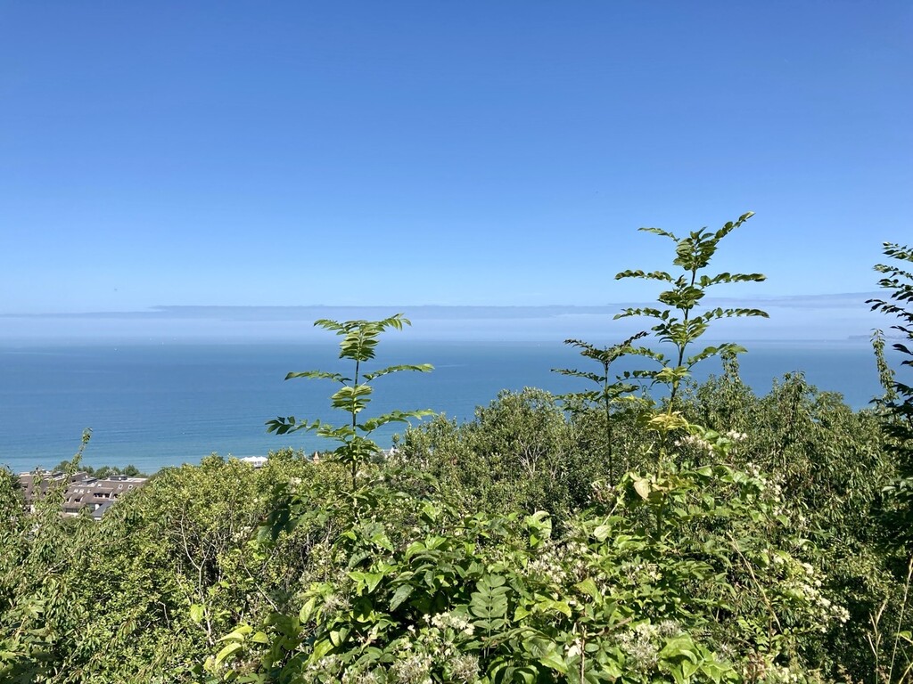
Continue to the left on rue Baumier, another stairs to enjoy the panorama view from”Table d’orientation”.
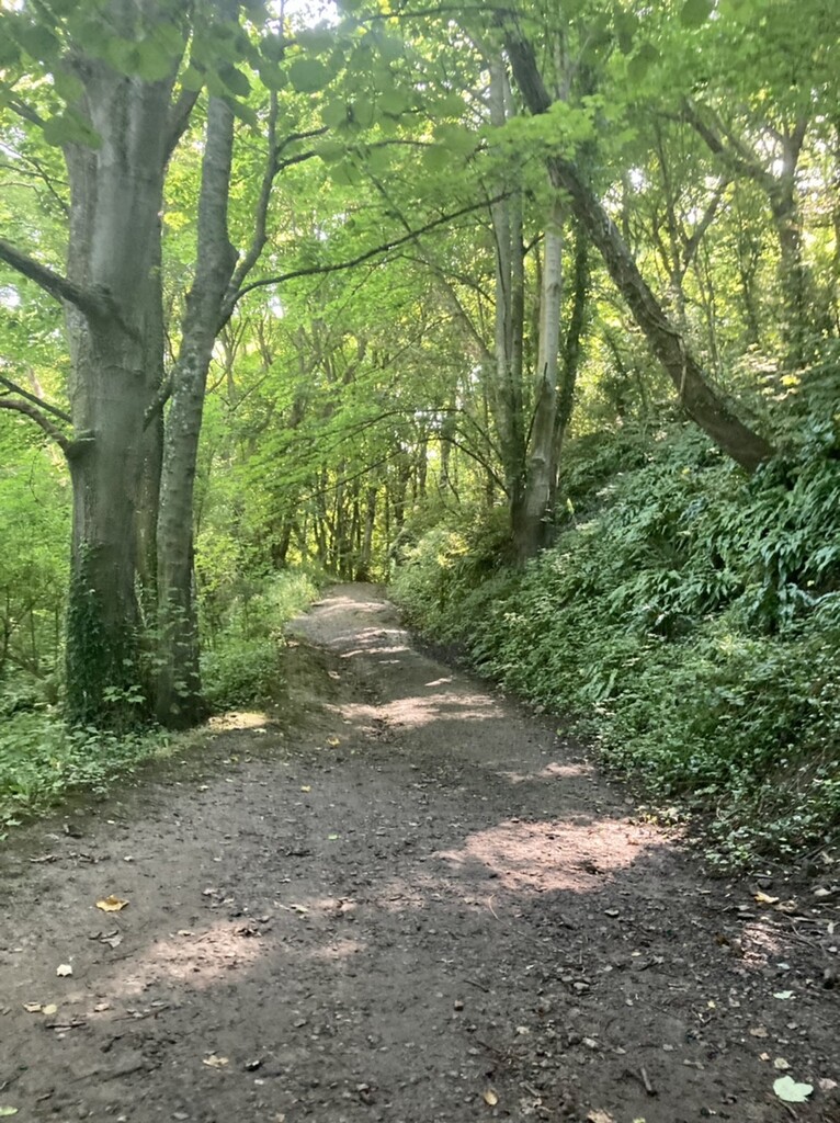
Continue to the east on “chemin du Semaphore” old route surrounded by woods into birds’ singing, created between 1862and 1864 to observe marine traffic. Occupied by Germany in 1940 and bombarded and destroyed once in 1944.
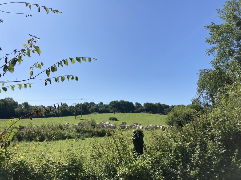
Continue to rejoin eventually on “Promenade du Ruisseau du Parc” where we can run down along the little river to reach “Le Marais de Villers-Blonville” conservation area for its bio diversity.
Run to the east, to regain the way to run up to Mont Canisy. The highest ground in Normandy at 110m.
History of Mont Canisy: https://en.wikipedia.org/wiki/Mont_Canisy_battery
Run through this historic site, then run down to the beach through “Chemin du Tocq” arriving behind the Hippodrome de Clairefontaine.
Then run back to the starting point on the beach of Benerville sur Mer.