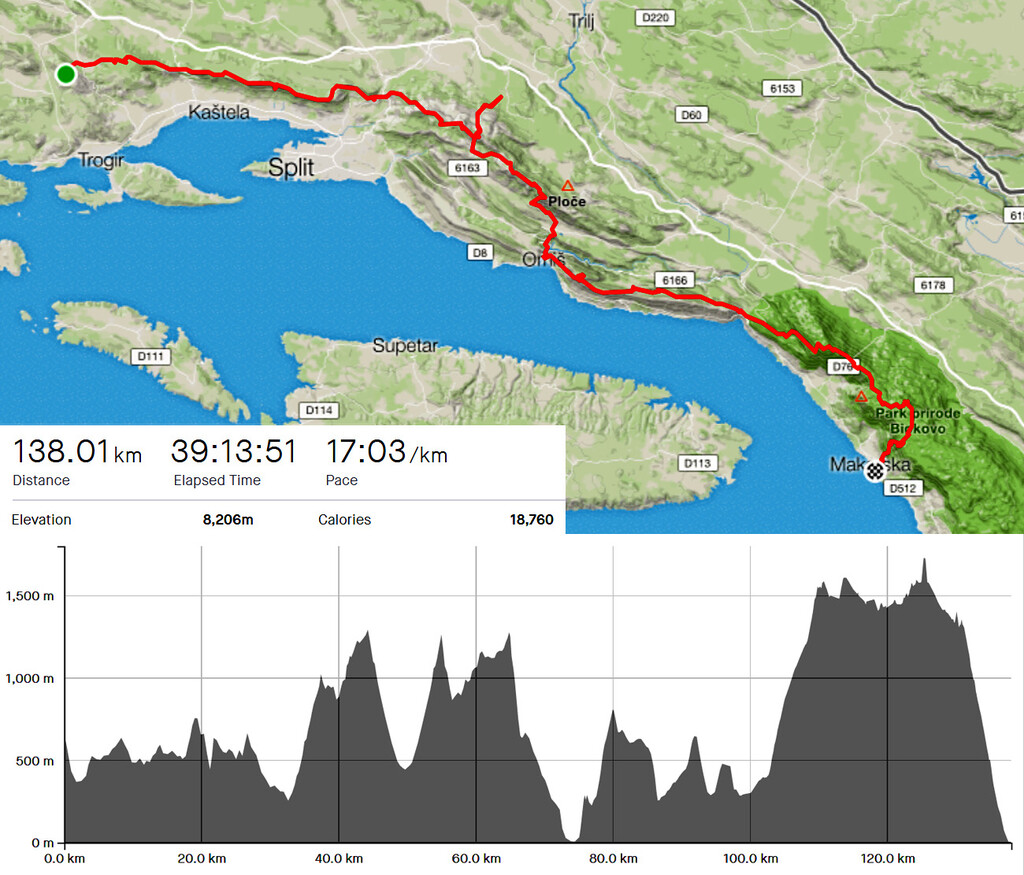
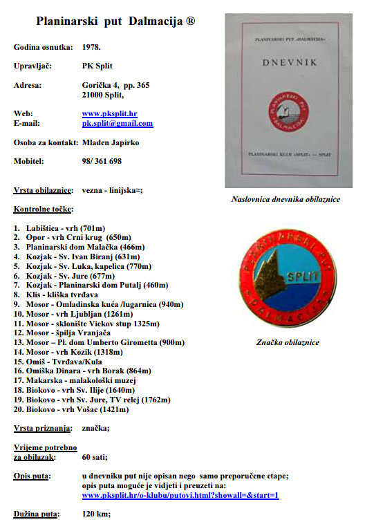
"Planinarski put Dalmacija" (Hiking trail Dalmatia, acronym "PPD") is a hiking trail that goes from peak Labisnica above town of Trogir to the town of Makarska over five mountains - Opor, Kozjak, Mosor and Biokovo (Nature park). It was envisioned and opened to the public in 1978 by Mountain club Split. It has 20 control points, mostly peaks that you have to take a photo of yourself as proof that you've been there. The club issues a unique trail badge (once confirmed) as a "finishers medal".
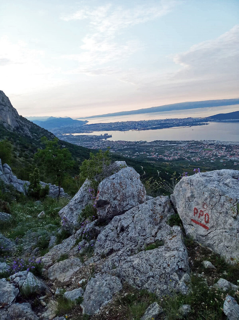
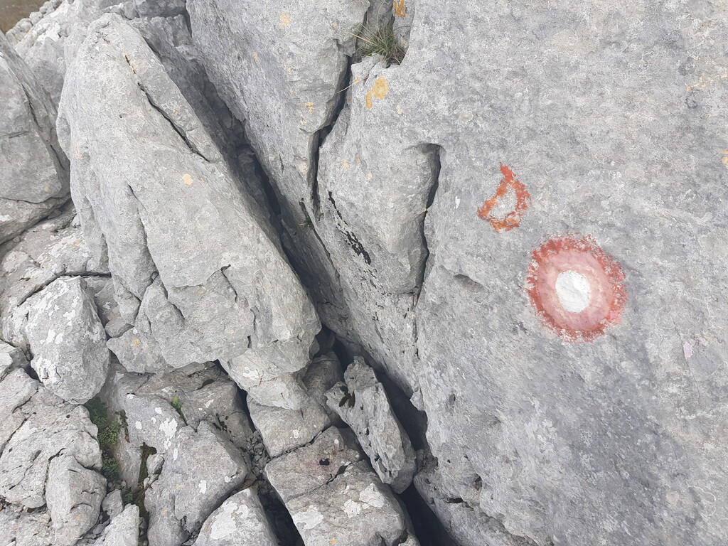
The trail is arguably the most demanding and technically difficult trail of this length that you can find in whole of Croatia. It has around 140 km (85 miles) and 9000 m (30000 ft) of vertical gain depending on the route you take between control pints. The whole route is marked with standard Croatian hiking blazes (red and white circle) at some parts a little unmaintained but mostly in good shape as the route goes through some of the more popular hiking destinations around city of Split.
Submitter: Opara