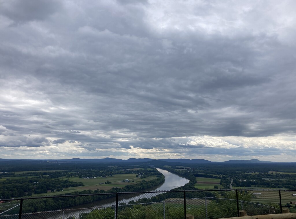
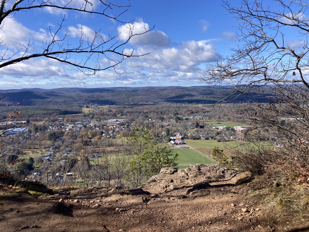
The Pocumtuck Ridge is a part of the Metacomet Ridge. It is named for the Pocumtuck tribe; according to legend, it is the remains of a giant beaver. South Sugarloaf is the beaver's head. It is a prominent feature in the landscape and popular for hiking, trail running, and mountain biking. The Pocumtuck Ridge Trail runs north/south, traversing the entire ridge, and following the highest points along the peaks and traprock ledges.
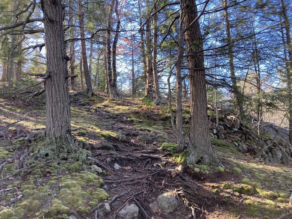
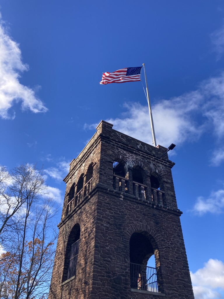
The trail is about 16 miles long, consisting of a mix of singletrack and fire roads, with one unfortunate section (~.8 miles) of state highway connecting the Deerfield and Greenfield sections. Aside from that section, the trail is marked with blue blazes and mostly goes through conservation land. From the south, you will climb South Sugarloaf and North Sugarloaf, then continue up the ridge to Pocumtuck Rock, which is about halfway and also the highest elevation. Follow blue blazes to Keets Rd., which goes downhill to Routes 5&10. The blue blazes restart on Hope St., in Greenfield, just past the bridge, and take you up to Sachem Head and then to the tower at Poet's Seat. The northern terminus is on Wunsch Rd. in Greenfield.
Here is a good description of the trail.