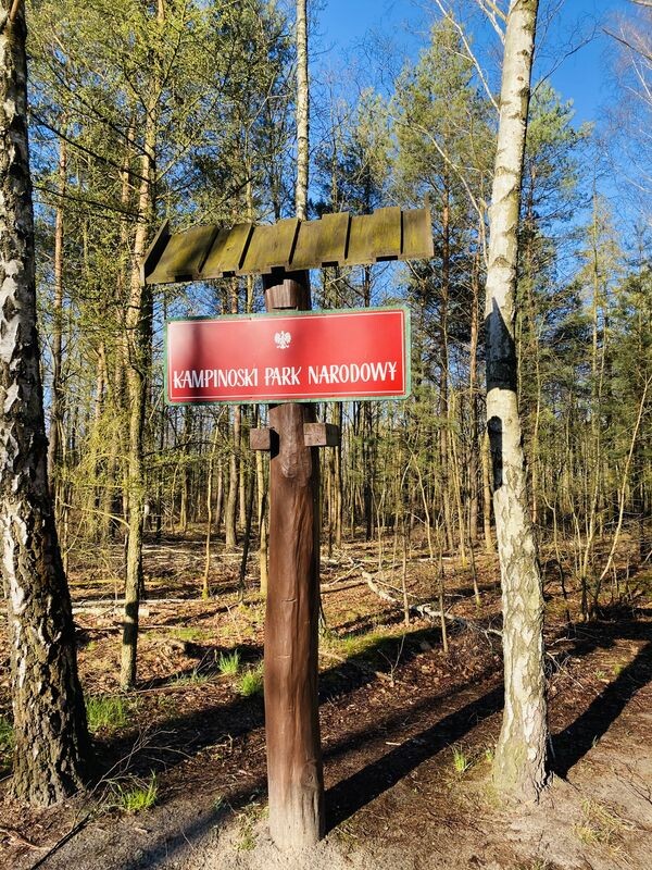
Kampinoski Południowy Szlak Krawędziowy - Niebieski
The trail starts in Dąbrowa Leśna (parking) and continues for 50 kilometers to Kampinos. The course of the trail, unlike the red and green (forest) trails, runs through several places where you can replenish your water and food. It is a very attractive route along the southern edge of the Kampinos National Park. The route runs through the villages of: Laski, Izabelin, Lipków, Zaborów, Leszno and ends in the "capital" of the park - Kampinos. The entire route runs through many beautiful Kampinos wilderness. The first part of the route in eastern Kampinos leads through Przedłuże, Góra Ojca, Wydma Bohuna, Truskaw Mały, Sandykierz, the uroczysko Kalisko (with a nice, long footbridge "droga do Gaci"), Zaborów and Leszno. Along the way you will find many places of national remembrance, numerous natural monuments and a forest botanical garden in Laski. After passing Leszno, we will run into numerous nature reserves. In the "Nart" reserve, we will see the oldest dense stand in the Kampinos National Park, over 200 years old. We will run past an early medieval settlement in Zamczysko.
Route:
- 0,0 km Dąbrowa Leśna
- 1,1 km Przedłużę
- 2,7 km uroczysko Łuża
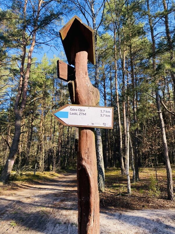
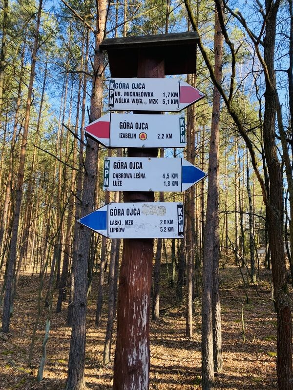
- 4,5 km Góra Ojca
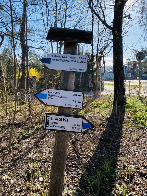
- 6,5 km Laski, ogródek leśny KPN
- 9,8 km Lipków
- 14,3 km Mały Truskaw
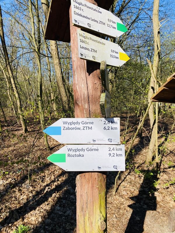
- 17,4 km Zaborów Leśny, leśniczówka, uroczysko Kalisko
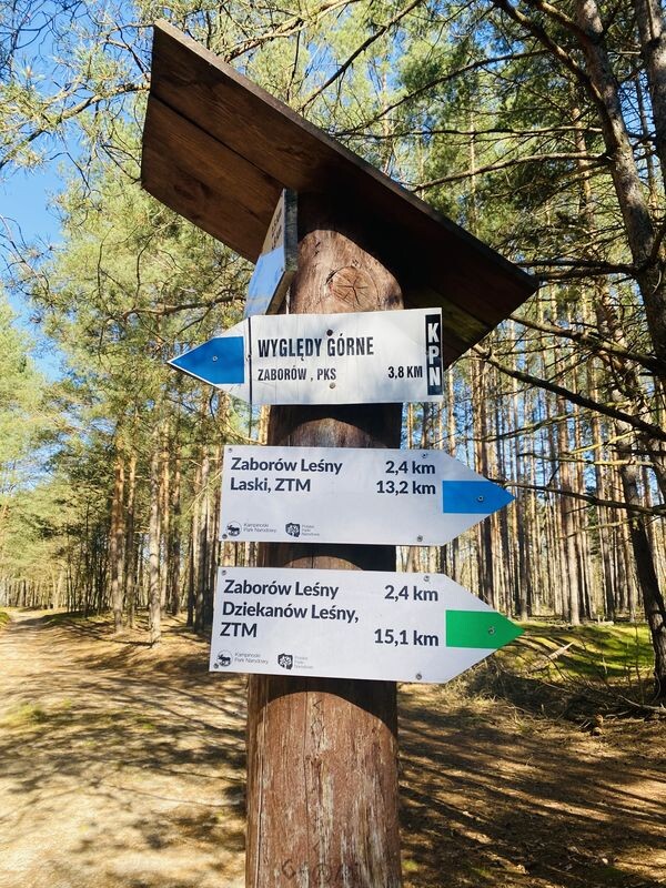
- 19,8 km Wyględy Górne
- 23,6 km Zaborów
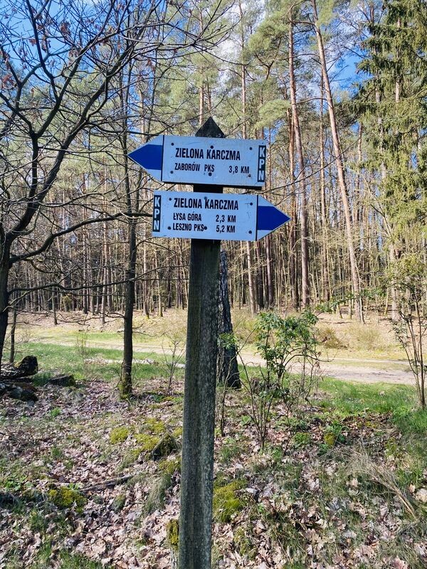
- 27,4 km uroczysko Zielona Karczma
- 32,6 km Leszno
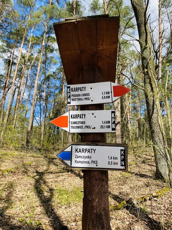
- 38,3 km "Karpaty", obszar ochrony ścisłej
- 39,7 km "Zamczysko", obszar ochrony ścisłej, grodzisko
- 42,9 km "Nart", obszar ochrony ścisłej
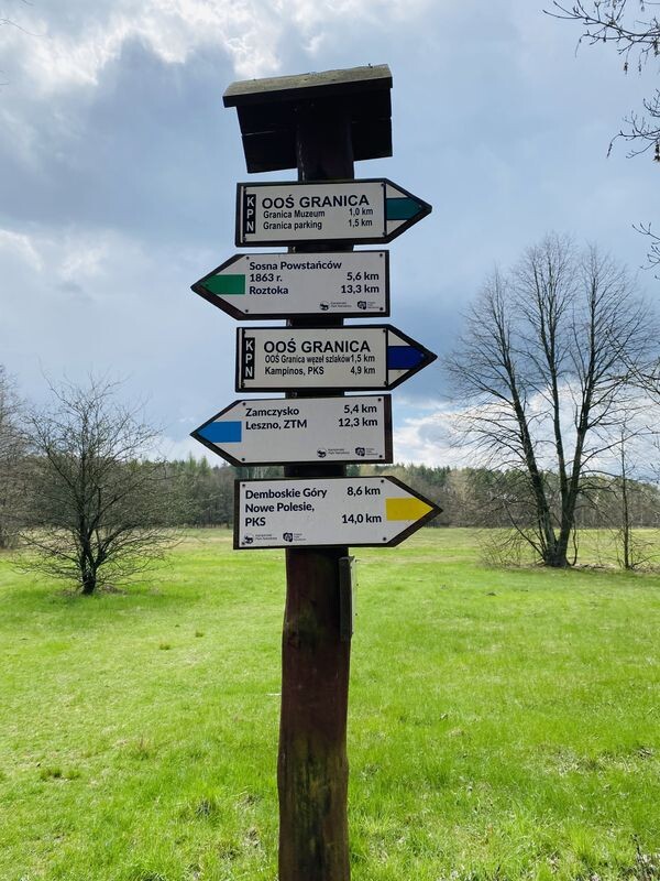
- 44,9 km rez. "Granica"
- 45,9 km Granica, ośrodek dydaktyczno-muzealny KPN
- 46,4 km Granica
- 49,8 km Kampinos