Location
Kansas,
US
Distance
52.5 mi
Vertical Gain
750 ft
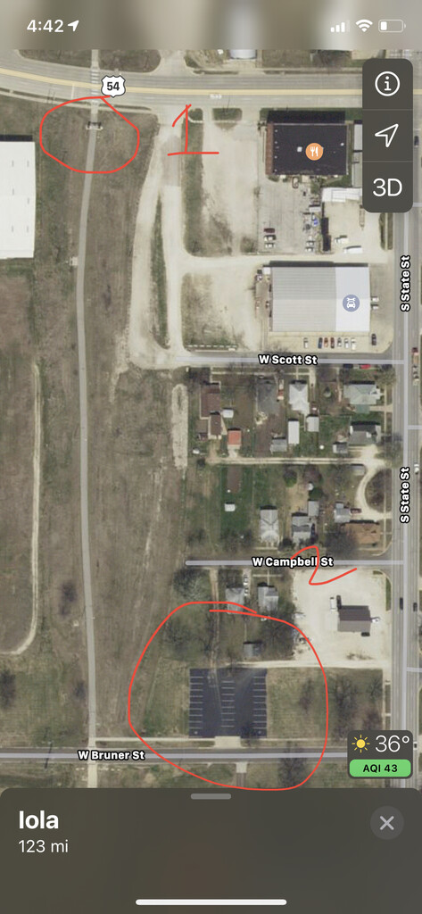
Description
GPS Track
prairie-spirit-trail.gpx11.93 KB
FKTs
Male
| Harry Hayde | 7h 51m 9s |
| Clinton Straughen | 8h 25m 21s |
Images