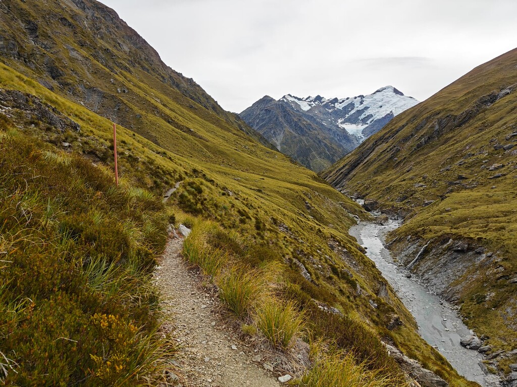
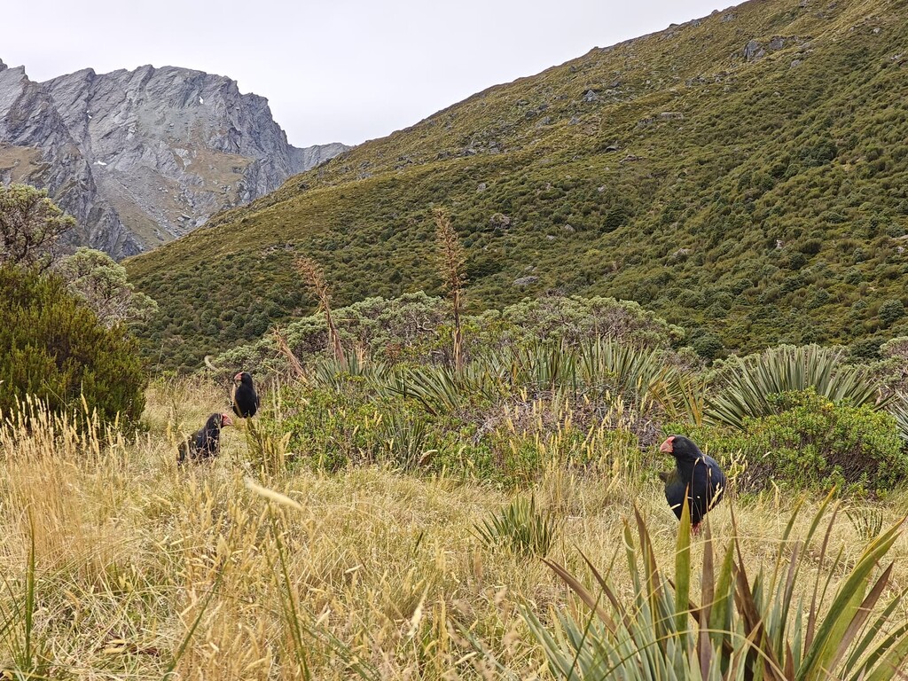
This 4 day hiking trail is a great one day running route into backcountry national park and gives a combination of glacier mountain views, beautiful native forest and a variety of wildlife including the very rare Takahē. The route is 85% singletrack and 15% 4x4 track. It is almost completely runnable for those able to cover rough terrain well.
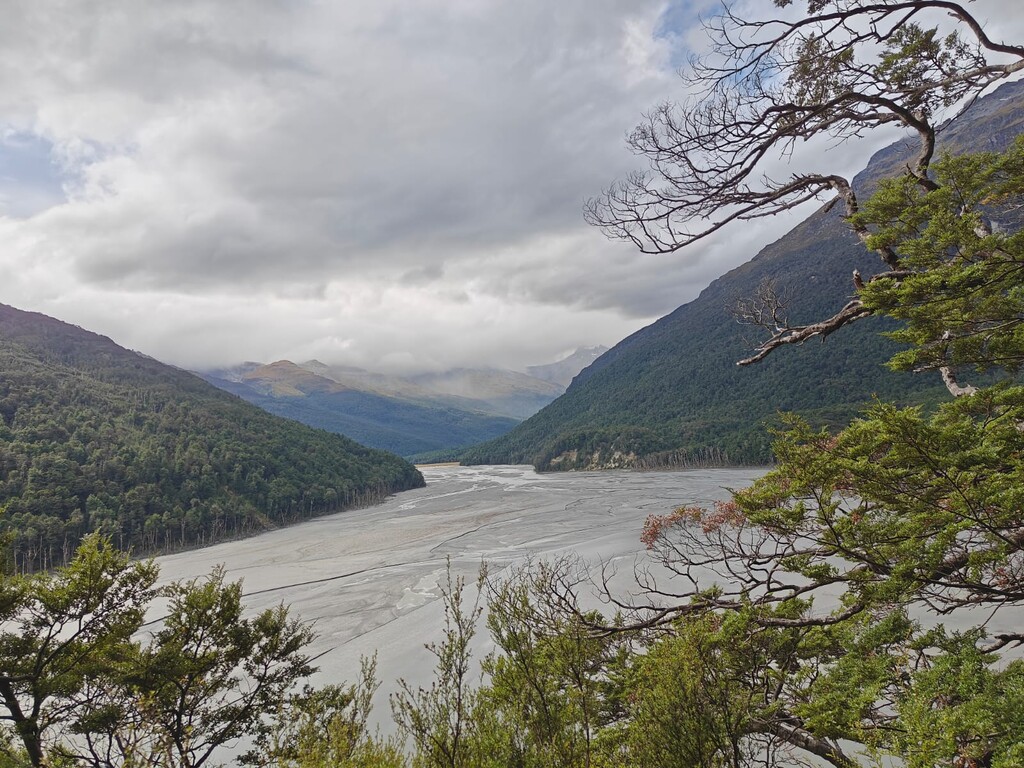
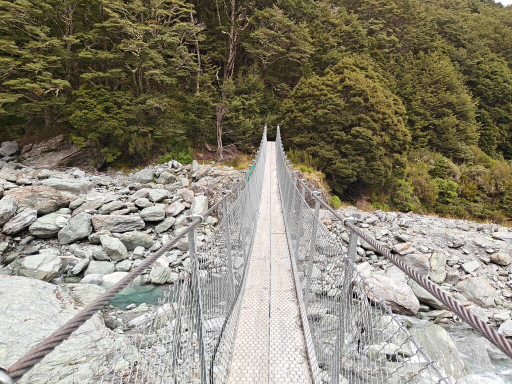
The route goes from car park to carpark (Muddy Creek - Chinaman's Bluff) and can be run in either direction. Both directions have pros and cons but I suspect anti clockwise might be slightly faster with the long descent down the Dart. The lower part of the Rees Valley from Muddy Creek Carpark to the treeline crosses private land. There is public easement on the 4x4 track that crosses the river and stays in the middle of the valley as well as the marked high water route on the true left of the valley. Either route is acceptable for the FKT though the 4x4 track is definitely faster and most people who do the high water route once, never do it again (boggy, scrubby and hilly). The 4x4 track is unmarked but is easy to follow, the gpx uploaded uses it. You will need to cross the river 4 times and it would not be possible during highwater/ flood.
The rest of the route in the national park the DOC marked route must be followed.
There is no mobile phone coverage at any point along the route and so a PLB is a must.
The GPX data uploaded is good apart from a small glitch at the Chinamans bluff end where you pass under the cliffs, the route is very easy to follow at this point.
DOC website of route and route conditions - https://www.doc.govt.nz/parks-and-recreation/places-to-go/otago/places/mount-aspiring-national-park/things-to-do/tracks/rees-dart-track/
Video of the route https://youtu.be/WhW_4ae2kgA?si=aHRrnSn_rh7vD1T