Location
United Kingdom
Distance
29.5 km
Vertical Gain
144 m
Description
GPS Track
River_Brent.gpx2.57 MB
FKTs
Male
Female
| Julien Cazorla | 2h 24m 42s |
| Miki Neant | 2h 59m 7s |
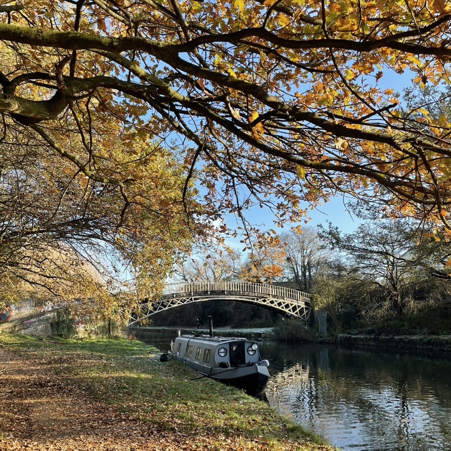
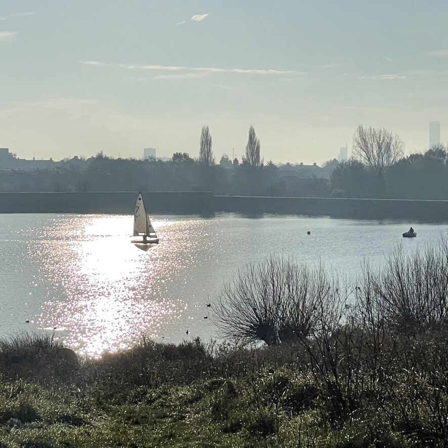
Images