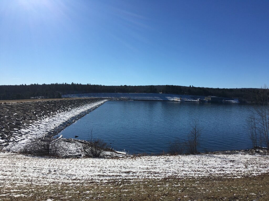
Route: Rondout Reservoir Circumnavigation (NY)

Submitted by Matthew Matta on Thu, 01/13/2022 - 05:21pm
Location
New York, US
Distance
17.5 mi
Vertical Gain
1,000 ft
Description

The Rondout Valley lies on the southern edge of the Catskill Mountains. This reservoir was built in the 1930s and 1940s, displacing the settlements of Eureka, Montela and Lackawack. It now serves as the central collecting reservoir for New York City's Delaware system. The Delaware water system supplies half of New York City's water, 65 miles southeast of Rondout Reservoir, the water taking a complicated path through the Delaware Aqueduct, which tunnels under the Hudson River.

This route involves running around the reservoir on New York State Routes 55 and 55A. These scenic roads are lightly traveled with adequate shoulders. They weave in and out of smaller stream beds with gently rolling hills. The lakesides of these roads have the majority of the guardrails, so going clockwise against oncoming traffic is probably the safest. There are a few designated parking areas with historical markers and several other pullouts scattered around the lake. This loop is approximately 17.5 miles with 1000' of elevation gain.

https://omeka.hrvh.org/exhibits/show/lost-hamlets-of-the-rondout/introduction 

https://www1.nyc.gov/site/dep/water/rondout-reservoir.page

GPS Track