Why is the route notable and why would someone else want to do it?
No FKT has previously been established on the island of Carriacou. Like a summit of a mountain, an island lends itself to a natural challenge - circumnavigating its extent rather than summiting the top. I believe a good “round island” route should stay as true as possible to the shape and extent of the island - hugging the coast as much as possible and trying to get to significant peninsulas, even if this involves a small element of “out and back” if there’s a particularly prominent peninsula and a worth and accessible trail to follow.
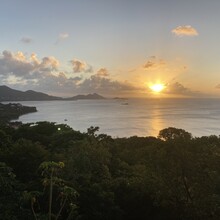
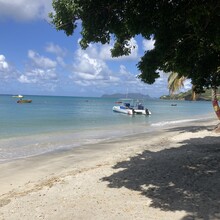
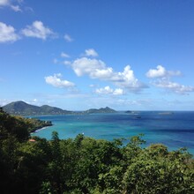
The route gives a tour of many of the different villages of the island and a great variety of beautiful coastal landscapes, from travel award winning sandy beaches, to rugged rocky reefs with big swells which give the island its name as the “isle of reefs” and the inspiration for the name for this route - “Round the Reef”.
The route
I thought it appropriate to start this route at the heart of the capital of Carriacou - Hillsborough. The natural choice was the centre of town at the Carriacou and Petite Martinique Tourism Authority building, which is also opposite where travelers by boat would traditionally first arrive.
The route explores the island in an anti-clockwise direction, setting off in a west-south-west (WSW) direction initially towards the airport on a road section. Just before the airport, I continued straight - hugging the coast. This takes you through the mangrove. I would suggest a recce in advance of an FKT attempt to choose a route through - but routes are commonly used.
The route is a mix of road, unpaved dirt road (predominately) and off road trail. After the mangrove section, finding the route should not be challenging and the paths are very runnable (most are solid dirt paths).
Significant landmarks and waypoints include:
- Start at the Carriacou and Petite Martinique Tourism Authority building in Hillsborough
- Pass the bend for airport and instead continue straight to enter mangrove
- Come out of the mangrove onto Sandy Beach
- Pass the village of L’Esterre on road
- Head west on an out and bank to the first peninsular of the route. Return back when you hit the beach.
- Return towards L’Esterre
- Head south through Harvey Vale and Tyrrel Bay
- Head to the final out and back peninsular of the route in the Hermitage / Manchineel Bay area. Continue right down to the bottom where you will see some houses are (beyond the first set of houses - right down at the bottom). You know you’ve gone too far if the path starts developing into an incline which is clearly a private driveway. Turnaround and come back when you reach the bottom.
- Return towards Harvey Vale and Tyrrel Bay, but turn right towards Belmont before reaching Harvey Vale
- The next turn is a right turn down a track at a church.
- Navigation after this point should be straightforward following the GPX file or with prior review/planning. The following key villages will be passed: Dumfries, Mount Pleasant, Dover, Windward, Bogles, return to Hillsborough and the Carriacou and Petite Martinique Tourism Authority building


