Location
United Kingdom
Distance
116.9 km
Vertical Gain
5,236 m
Description
GPS Track
FKTs
Male
Female
| Brett Mahoney, Tim Woodier | 16h 26m 3s | ||||
| Stuart Gregory, Paul Southwood | 17h 55m 12s |
| John Keat | 19h 24m 8s |
| Brett Mahoney, Tim Woodier | 20h 37m 41s |
| Elizabeth Gatherer | 18h 59m 14s |
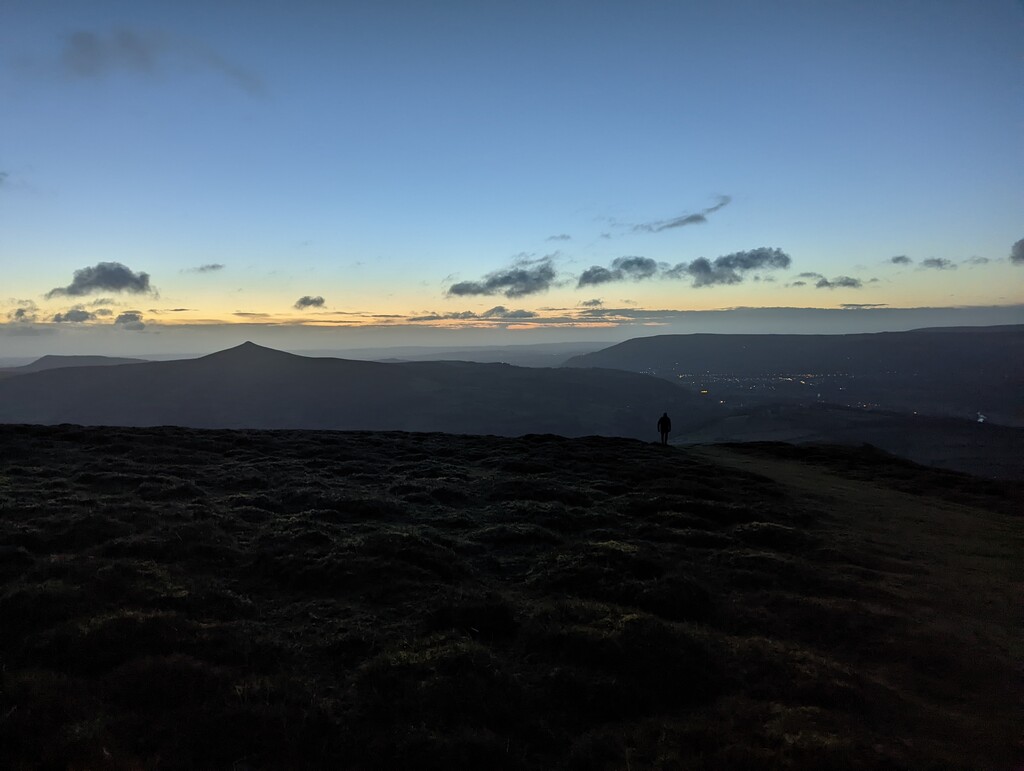
Images
Comments
I’ve got my eye on this one 😌
I will be attempting this route on Saturday 6th May.
I'm planning to go for a solo unsupported attempt in the next few days.