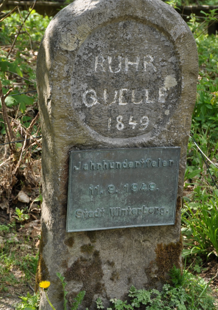
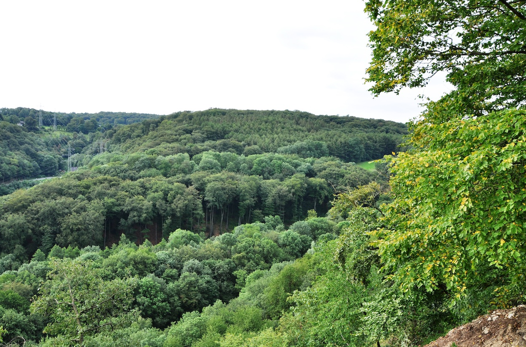
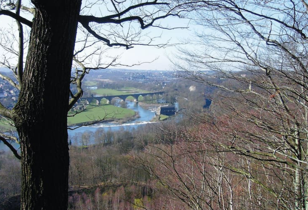
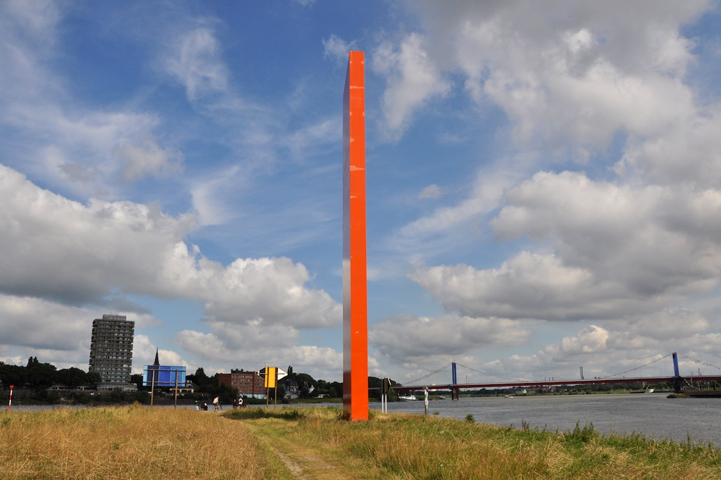
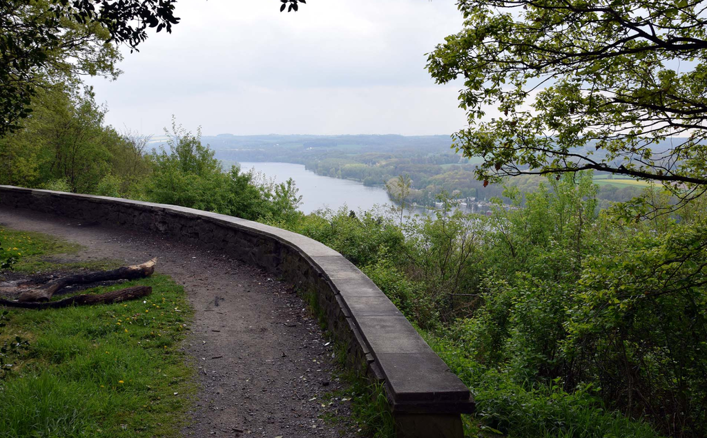
The Ruhrhöhenweg is a long-distance hiking trail that accompanies the Ruhr from its source at Winterberg in the Hochsauerland to its confluence with the Rhine at the Rhine Orange sculpture in Duisburg. The 219km long Ruhr is the king of the rivers in North Rhine-Westphalia, not only because the Ruhrgebiet, the largest industrial region in Europe, developed along the Ruhr, to which Germany owes a lot of prosperity, but also because the Ruhr represents more like hardly any other river the diversity of the North Rhine-Westphalian landscapes.
The Ruhrhöhenweg was laid out in 1975 by the Sauerland Mountain Association (SGV) and is marked with the white St. Andrew's cross supplemented by the letter R. The Ruhrhöhenweg was partially re-marked in 2013 with the support of the neighboring communities. In an amazingly rural way you can hike on the Ruhrhöhenweg through the industrial heart of Europe and enjoy nature and culture in their purest form. The Ruhrhöhenweg measures 241.67 kilometers and conquers approx. 5600 meters in altitude in the ascent and approx. 6000 m in the descent.
https://de.wikipedia.org/wiki/Ruhrh%C3%B6henweg
https://www.ich-geh-wandern.de/ruhrh%C3%B6henweg-xr