Location
Switzerland
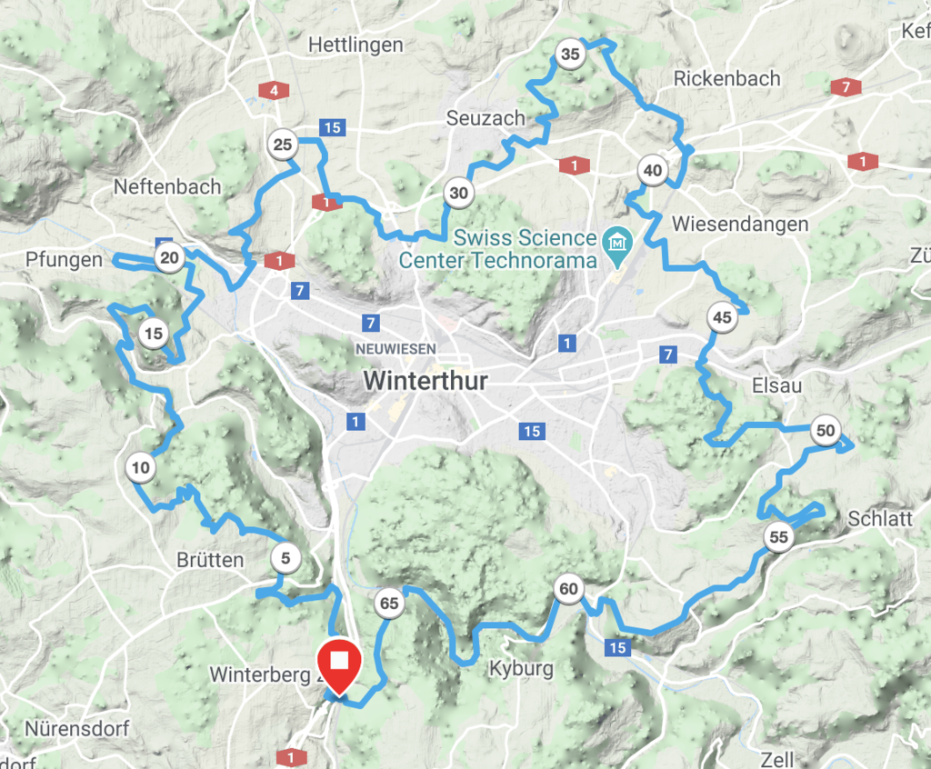
Distance
67.42 km
Vertical Gain
1,765 m
Description
GPS Track
rundwegwinterthur.gpx406.74 KB
FKTs
Male
| Raphael Josef | 5h 19m 9s |
Images
Comments
My attempt tomorrow with Carsten Drilling can be seen live here: https://raceday.me/v/bfc7bd
We gonna try to beat the fkt on Sunday. Here is our live stream:
https://raceday.me/v/344444