Variation: Santa Rosa Truck Trail O&B
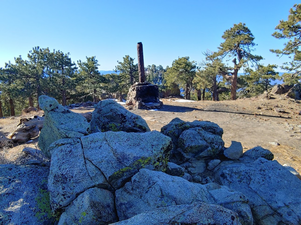
The Santa Rosa Mountain range is among the most rugged in Southern California. Most of it’s 9 peaks (look up the Santa Rosa Traverse) share no path except for sparse animal trails. However, this most western side of the range presents a dirt forest service road (7S02) which leads to Santa Rosa Mountain (8070 ft) and ending near Toro Peak (8716 ft) which is restricted due to a communications tower. There is quite a dramatic drop from the Santa Rosa range down into the Coachella Valley to the north and Anza Borrego Desert to the south. There is an area to park just below the gate where the Santa Rosa Truck Trail begins. This area is covered in Ribbonwood and stays quite green and lush but eventually turns into a pine studded forest as you near the top. There is an piped annual spring about 8 miles up the dirt road (Santa Rosa Spring) if you need water. There is a turn off on the right as you near the peak of Santa Rosa Mountain with only a few tenths of a mile to the top. Don't stress over the last few switchbacks either. There are cuts people have made with ORVs, so if you end up cutting a switchback, it's all good; just get to the top. Once there, you’ll see areas to camp as well as a tall chimney that was part of an old cabin years ago. Once you top out near the chimney at just over 10 miles, head back down to where you parked. Have fun!