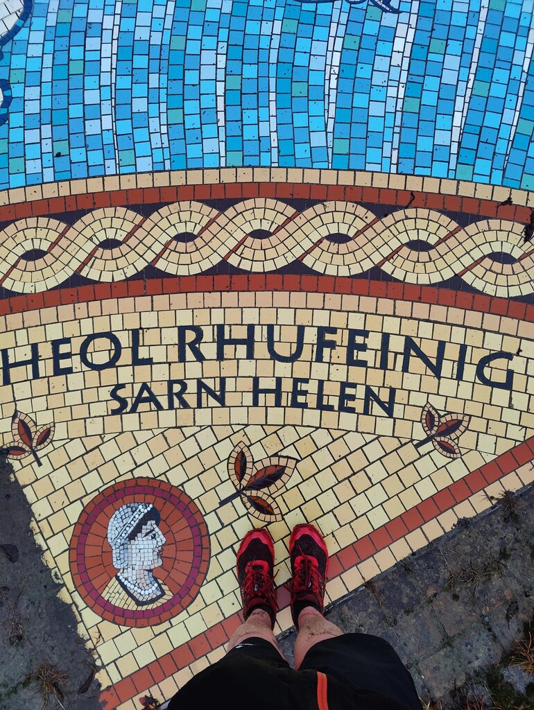
Start at Roman Road, Brecon (The Promenade Car Park) and head over to Gaer Roman Fort, Cradoc (Brecon) and follow the line of Sarn Helen southwest toward Neath. This hedged footpath runs alongside a streambed—very wet and muddy in winter, generally good in summer but overgrown late season—with limited views at either end before opening to farmland and low hills.
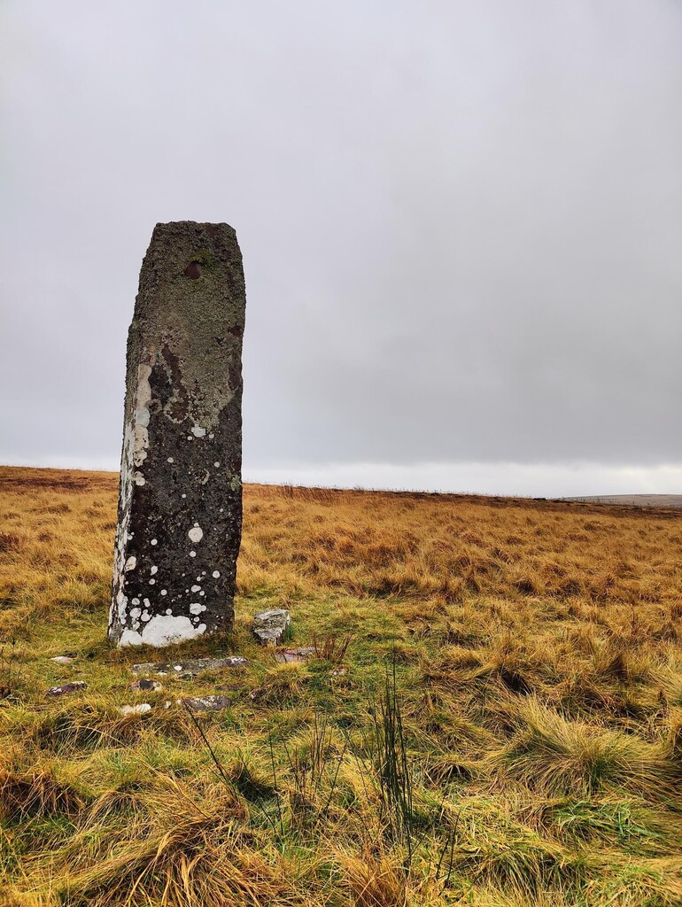
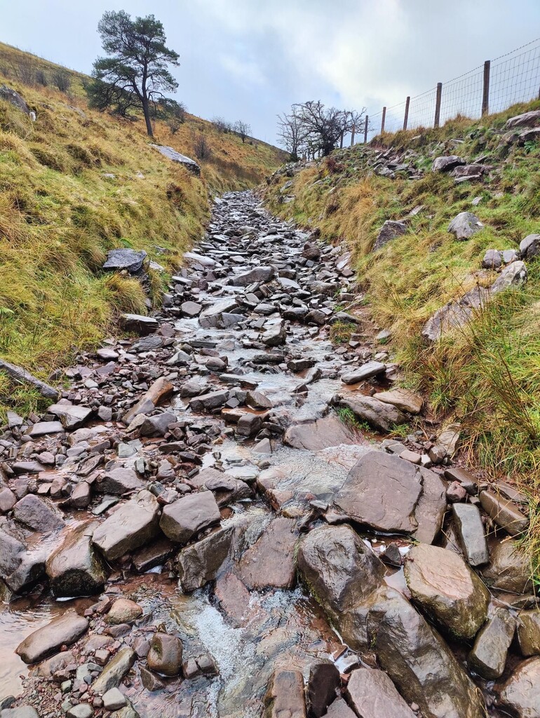
The route then commits to the Brecon Beacons, crossing the Nedd Fechan, skirting caves near the water, and passing the Maen Madog inscribed stone. Despite the ominous reputation, this is a scenic, remote dirt-road/moorland crossing on one of the best-attested sections of Sarn Helen, the Roman road believed to link Swansea and Conwy. Expect peat, broken stone, and boggy patches after rain; navigation is straightforward in clear weather but serious in clag.
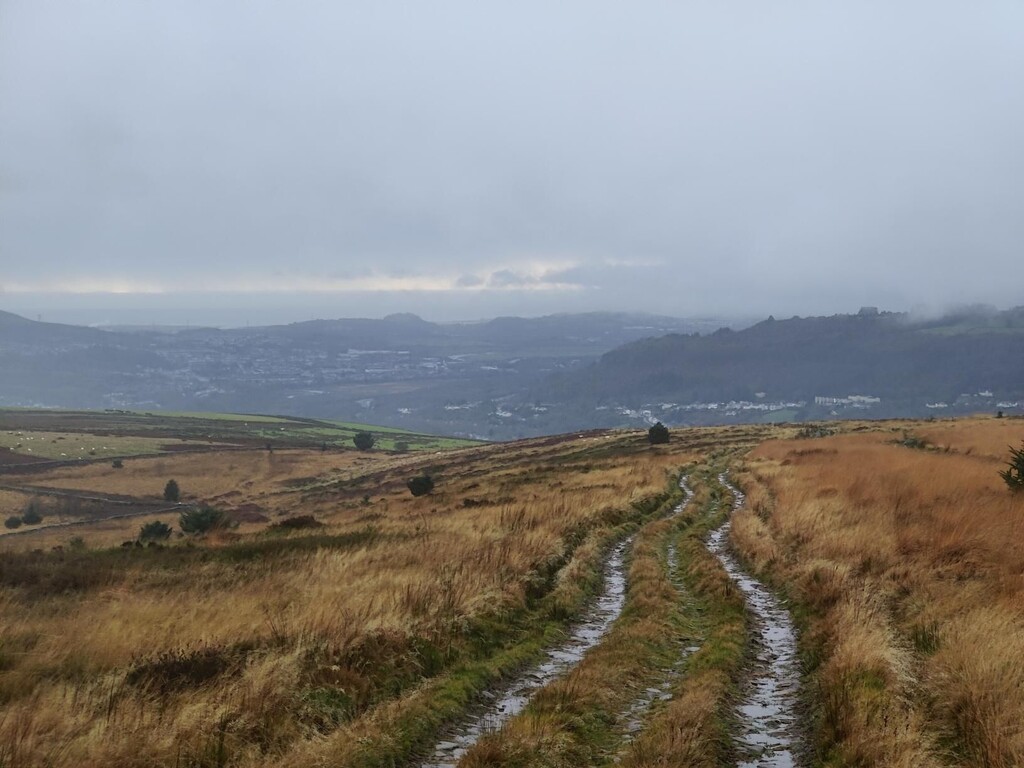
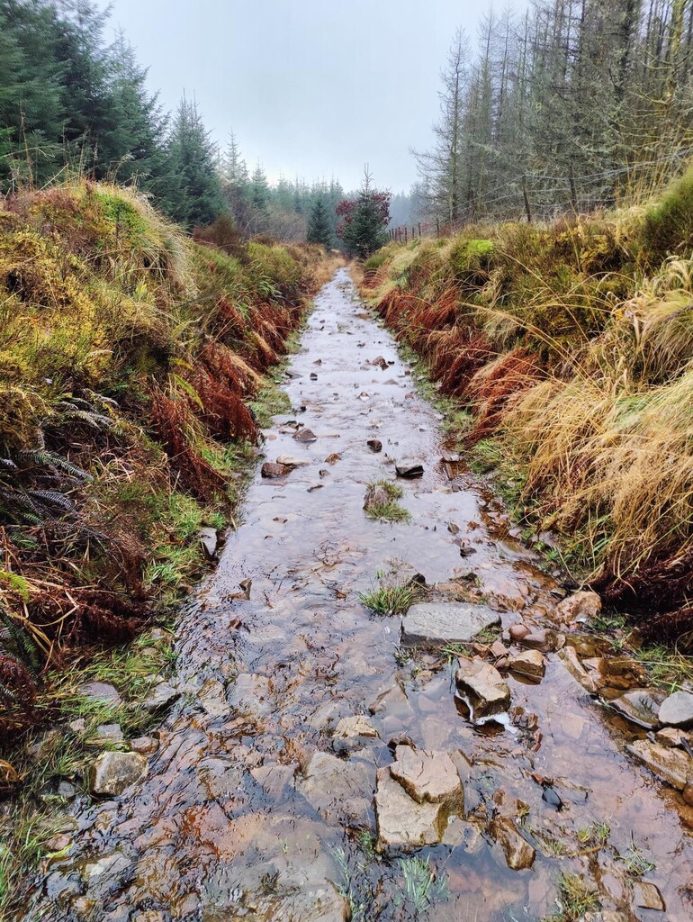
South of Banwen the line climbs Hirfynydd (the 89th Welsh Marilyn) before trending through forestry and open moor toward Crynant, with loose and rocky underfoot and frequent wet sections. Finish by descending bridleways, forestry track, and short road links to the South-west Gatehouse of Nidum Roman Fort (Neath). Navigation/waymarking is inconsistent—carry GPX and a map; water is from streams (treat), resupply is sparse, and hazards include livestock, bog, forestry operations, and brief roadside sections near the finish.
Route travels along Sarn Helen for as much as possible for the entire distance.
- Route: https://en.wikipedia.org/wiki/Sarn_Helen
- Start Roman fort: https://en.wikipedia.org/wiki/Y_Gaer
- End Roman fort: https://en.wikipedia.org/wiki/Nidum
- Ancient standing stone on route: https://en.wikipedia.org/wiki/Maen_Madoc
- Komoot: https://www.komoot.com/tour/1970157148