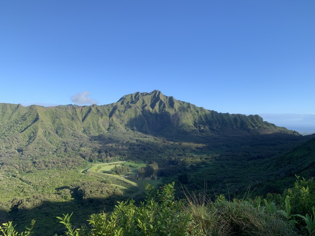
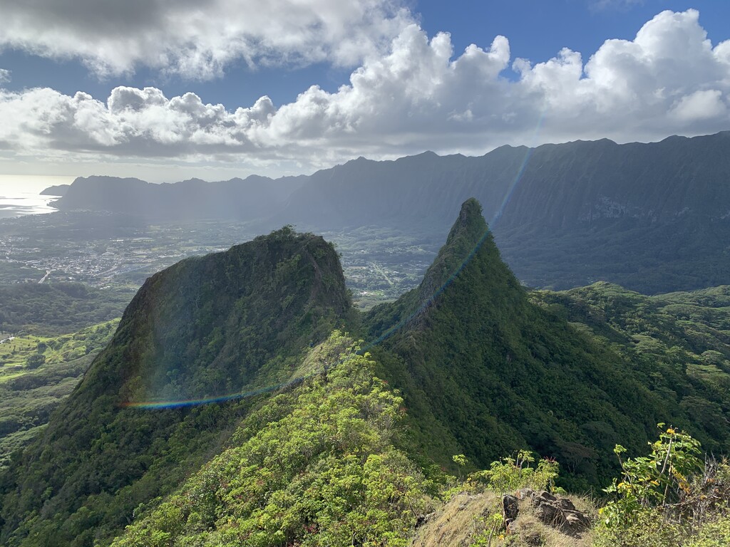
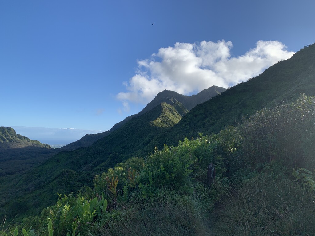
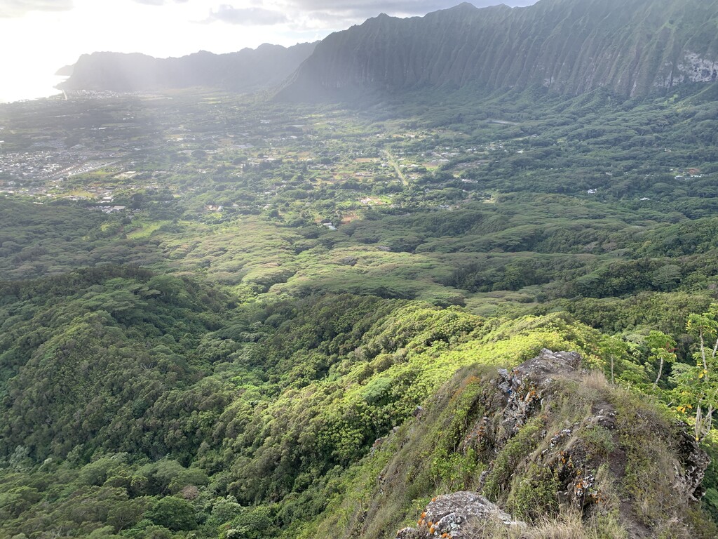
There are very few ways to cross the southern part of the Ko'olaus. This route does that and tags five major Oahu peaks while staying on public land. The route starts from Ala Moana Beach, southern side of Oahu near Waikiki. Head North passing through Honolulu city then trail begin at the bottom of Tantalus, one of the tropical jungle mountain. Keep head North taking a part of HURT loop (https://fastestknowntime.com/route/hurt-loop) until you hit the bench of Pauoa lookout where you can see Nu'uanu reservoir stretching out, with Koʻolau Range rising in the distance. Turn right at the bench towards to Pu’u Konahuanui Peaks(3,150ft), also known as K1 and K2, the highest peaks of Ko'olau Range. After reaching K1, a steep descent begin on Piliwale ridge. Piliwale ridge is crumbly and sheer cliffs on both sides so must be careful. Once reach the bottom of the ridge, run a road for a while. You might want to stop by Maunawili Valley Neighborhood Park to refill the water if needed. One of the famous hiking trail, Mount Olomana (https://fastestknowntime.com/route/mount-olomana-hi) is the next. Taking all three peaks then return in the direction you came from via Ohana trail, that goes around Mount Olomana. Following the run through Kailua town, the final small peak, known as Lanikai Pillbox, offers a view of the crystal-clear turquoise waters in the distance. Finishes the run on Kailua beach, east side of Oahu.