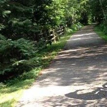
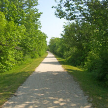
The Seven Waters Bike Trail is a scenic corridor stretching more than 17 miles north–south between Burlington and Muskego Lake into Waukesha County. The trail was originally three trails, locally called Burlington, Waterford–Wind Lake and Norway, all stitched together as part of Racine County's system of bike paths.
Start your trip in Riverside Park in Burlington, which is located along the picturesque Fox River. You'll find parking, bathrooms and picnic pavilions at this lovely community park. Traveling north from Riverside Park, you follow the east side of State Route 36. After crossing SR 36 you'll travel west through a pine forest before hitting a short, on-road detour. Back on the trail, the path returns to woods and crosses the Fox River.
After passing Case Eagle Park, with ball fields, a playground and seasonal restroom facilities, the trail returns to SR 36, this time traveling north along the west side. The highway is a constant until just outside of Waterford, where the trail veers into residential and remote sections of this community.
There are several street crossings before the end at Buck Road where the trail continues toward Wind Lake. The 5 miles of this section run mostly along the west side of SR 36; however, significant tree cover on both sides lets you forget you are close to the road. As you approach the community of Wind Lake, you will detour on-road. Turn left at South Wind Lake Road then right at South Loomis and follow this north until you come to a Y in the road, where South Loomis and Racine Avenue intersect. Stay on Loomis and bear right toward the traffic light and cross SR 36.
The trail picks up on the east side of SR 36. Look for the trailhead on your left as soon as you cross the highway. Following this 1.2-mile rail-trail north to the Racine County line and enjoy remote wetland scenery along the way. You'll find a parking lot and boat access for Muskego Canal, providing access to Big Muskego Lake. Continue a few miles north, paralleling Loomis Road/SR 36 to US 45 south of Franklin.
Parking and Trail Access
Parking is available at Bushnell, St Mary's and Riverside parks in Burlington; Trailside School in Waterford; and Meyer Park in Wind Lake. You can also access the trail in downtown Burlington, Waterford, Rochester and Wind Lake.
To access the northern terminus in Wind Lake, take State Route 36 north (Loomis Road) from Wind Lake to the Waukesha–Racine County line. Immediately after the county line take your first right turn into a gravel parking lot that is designated for boat access to the Muskego Canal. From the parking lot you'll see a grassy entrance to the trail. The official trail with crushed limestone surface continues off the grassy area about 20 feet south.
To access the Burlington trailhead you must start in Riverside Park. Take State Route 11 west into Burlington. Turn right onto Bridge Street (SR 83), go over the bridge and turn right onto Congress Street to Riverside Park. The trailhead is at the end of the park off Congress Street.


Comments
I will be running this as an out-an-back, unsupported FKT attempt on Sunday, May 5th. The first part will be while I race the Wings for Life World Run. After I'm done, I will continue on to finish 50 miles.