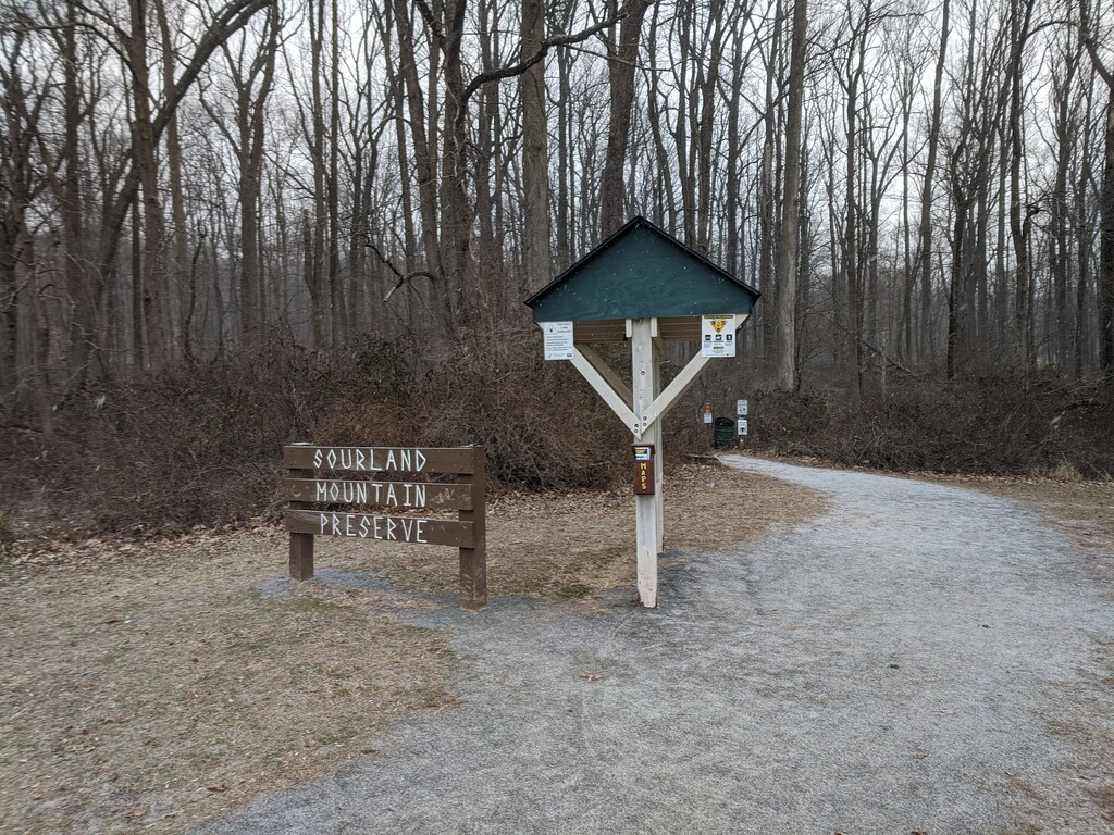
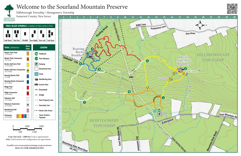
The Sourland Mountain Preserve probably features the best technical mountain running in central/southern New Jersey. Don't let the "massive" climb of 500 ft in the first mile deceive you, these trails are truly gnarly, with sharp turns, uneven footing, and rocks -- lots of rocks. The trail is runnable but an ankle sprain is never out of the question. For a nice overview of all that Sourland has to offer, this classic loop essentially circumnavigates the entire park, starting and ending at the notice board at the northwest corner of the parking lot off East Mountain Road. There is a Strava segment for this loop, both clockwise and counterclockwise. The loop is described here counterclockwise, but can be done in either direction. Note that the trail blazes described here correspond to the new colors and blazes as of 2020.
From the northwest corner of the parking lot, follow the Orange blazes up the hill, staying to the right and picking up the Yellow trail. Follow the Yellow trail as it meanders through the boulder field and along the ridge until it reaches the White trail. Keep right on the White trail for a 100 yards or so and take the sharp right on the Red trail. Follow the Red blazes across the pipeline and then keep left onto the Black & Red trail. Follow the Black & Red, keeping right as the trail joins with the Blue blazes, and then keeping left to follow the Blue blazes once the Black & Red trail ends at the junction with the Red trail. Follow the Blue blazes down the hill alongside Roaring Brook and keep right, rejoining the White Trail. Follow the White trail all the way down, crossing lots of boardwalks and turning east, until it reaches the Orange trail. Then sharp right on the Orange trail and follow Orange across the pipeline, briefly back into the trees. Finally, follow the trail down the grassy slope keeping to the left of the pond, and across the parking lot back to the start.
TLDR: Orange -> Yellow -> White -> Red -> Black & Red -> Blue -> White -> Orange, when in doubt stay to the right, and have a look the map in the route images.