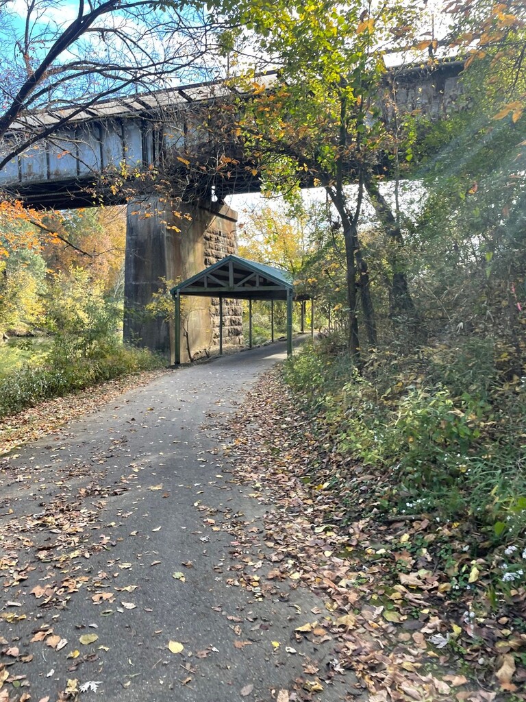
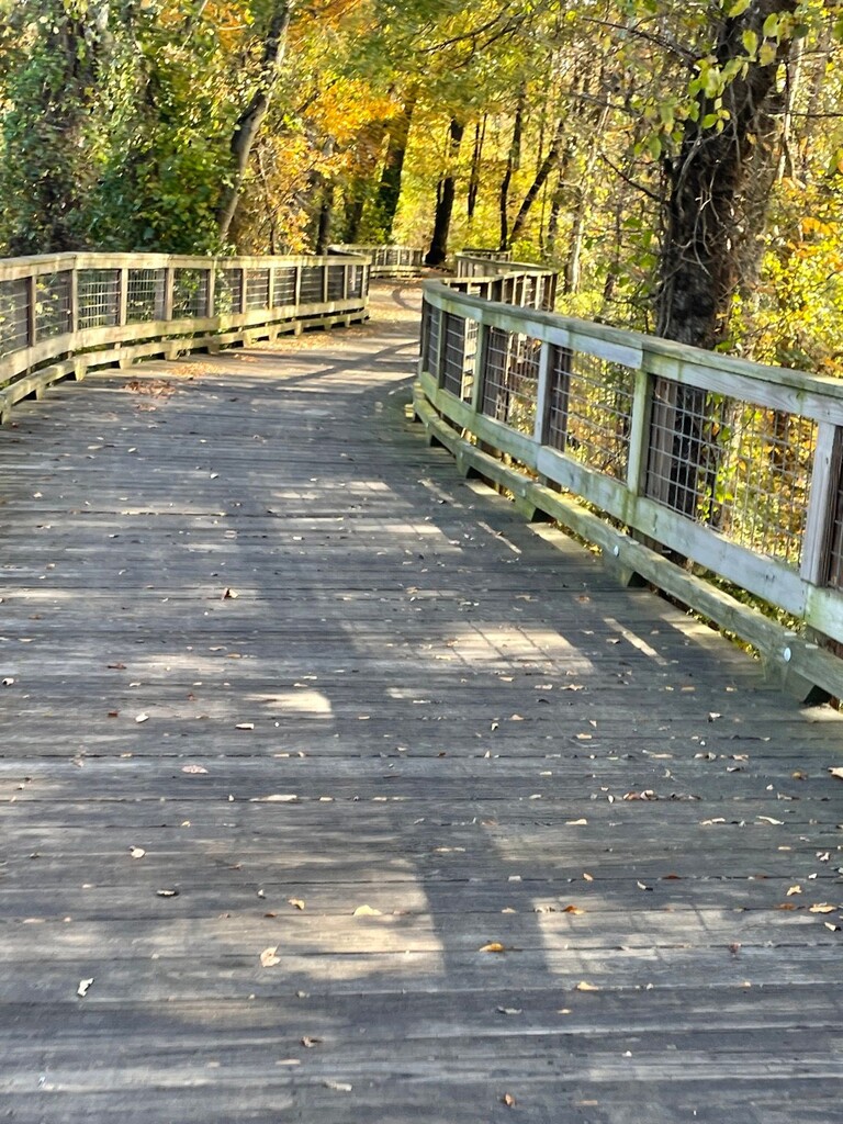
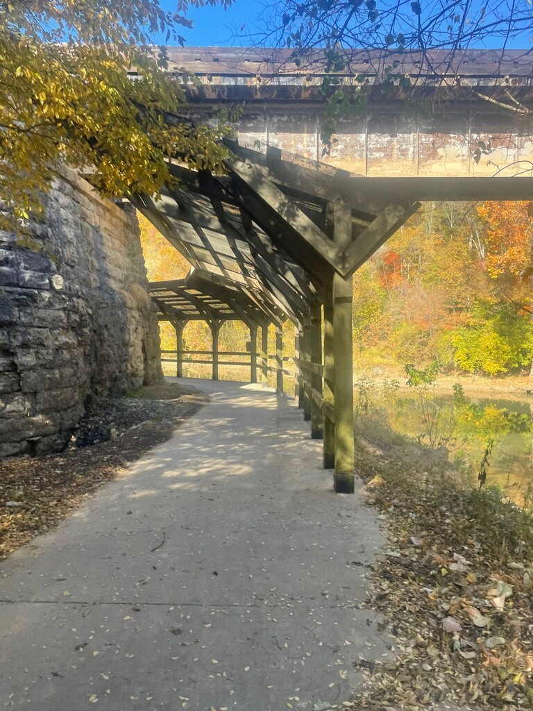
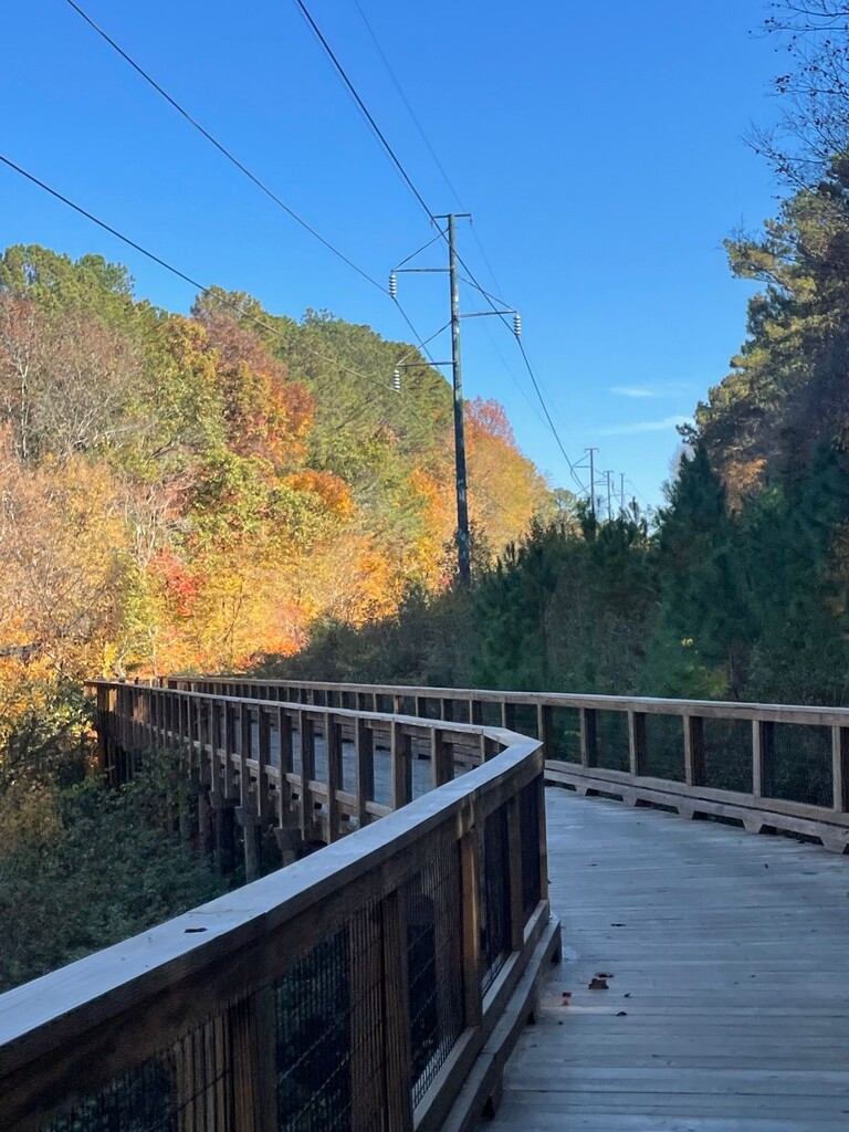
The South Chickamauga Creek Greenway is a trail system created through a partnership between the Trust for Public Land and the City of Chattanooga. More than 25 years in the making, it was completed in 2022. It connects the Tennessee River to Camp Jordan Park and meanders along the South Chickamauga Creek via several surfaces: boardwalks, asphalt, concrete sidewalks, and gravel atop a levee as it passes through forest, parks, commercial areas, and residential neighborhoods. This route is a lollipop out-and-back totaling 24 miles, beginning at the Lost Mound Trailhead, encircling Camp Jordan Park, and returning to finish at the Lost Mound Trailhead. Along the trail, in addition to fantastic views of the creek, there are remnants of history: train trestles and bridge pilings, some of which predate the Civil War, the high-water mark of the Great Flood of 1867, a crossing of the Trail of Tears, and an impressive rock silo of Sterchi Farm, established in 1900. The trail also includes the city’s first piece of environmental art, an “adventure trail” constructed by sculptural landscape artist Adam Kuby called Clamber Scramble Traverse.
A map of the trail is provided on the Trust for Public Land: South Chickamauga Creek Greenway - Our Work in TN (tpl.org).
Route Directions: The route beings at the wooden sign that says “South Chickamauga Creek Greenway” at the Lost Mound/Amnicola Trailhead (3716-3726 Amnicola Hwy, Chattanooga, TN). There are restrooms at this location. From the Lost Mound Trailhead, follow the South Chickamauga Greenway underneath the Amnicola Highway and over a bridge spanning South Chickamauga Creek. At 0.84 miles, take a left onto North Hawthorne Street. The trail transitions from boardwalk to asphalt for a short time. At 1.05 miles, leave North Hawthorne Street by taking a left. Boardwalk will again transition to asphalt as the trail partially follows the perimeter of the Waterhaven subdivision, offering views of its lake, passing under Harrison Pike, and reaching the Sterchi Farm Trailhead at 2.5 miles with its impressive rock silo. There are restrooms at this location. The trail continues along the creek and goes underneath Bonny Oaks Drive as well as several railroad bridges. At mile 4.4, the trail comes to the Faith Road Trailhead. The boardwalks approaching the Youngstown Road Trailhead at mile 5 are amazing. The trail passes underneath Lightfoot Mill Road and more railroad bridges. At mile 6, the trail enters a residential area. Turn right onto Caine Lane. Run on the sidewalk. The trail will cross over to the other side of the street via a crosswalk but remains on the sidewalk. At mile 6.6, the intersection with Shallowford Road and Airport Road, cross at the crosswalk and take a right onto Shallowford Road. Be careful, as this is a major intersection and traffic can be heavy. Run on the sidewalk and over the bridge that crosses the creek. At mile 7.25, take a left onto North Moore Road quickly followed by another left onto Bonnieway Drive, approaching the Shallowford Road/Brainerd Levee Trailhead at mile 7.3. Take a left and begin the levee section of the trail. There are several Y’s and T’s on the levee, always stay to the left on the levee on the outbound section. At mile 9.8, take the stairs to go underneath Brainerd Road. The stairs make for a more interesting route and avoid a major road crossing. Come back up the stairs to continue on the levee at mile 10. Go underneath I-75 and enter Camp Jordan Park at mile 11. Take a left off of the boardwalk ramp at the Camp Jordan Entrance Trailhead and run counter-clockwise around the park. The trail is easy to follow and there are crosswalks for all road crossings in the park. There is seasonal bathroom availability in Camp Jordan Park. After completing this two-mile loop, at mile 13, head back up the ramp to the boardwalk exiting Camp Jordan. On the inbound section of levee, stay to the right at every opportunity. Take the stairs again at mile 14.1 to go underneath Brainerd Road again. At mile 16.7, at the Shallowford Road/Brainerd Levee Trailhead, turn right onto Bonnieway Drive, right onto North Moore Drive, and right again onto Shallowford Road. At mile 17.5, turn left onto Caine Lane. Run on the sidewalks in the residential area until 18.12 miles, where the trail exits Caine Lane to the left. The Youngstown Road Trailhead will be at 19.12 miles, and Faith Road Trailhead at 19.7 miles. At mile 21.5, there are restrooms at the Sterchi Farm Trailhead. At mile 23, turn right onto North Hawthorne Street. At mile 23.25, turn right to enter boardwalk. The route ends at 24.1 miles at the Lost Mound Trailhead. The route starts and ends touching the sign that says “South Chickamauga Creek Greenway”.