Location
United Kingdom
Distance
10 km
Vertical Gain
492 ft
Description
GPS Track
StPaulsCrayCircularWalk.gpx7.69 KB
FKTs
Male
| Michael Carney | 45m 52s | ||||
| Mark Kerry, David Bone | 59m 24s |
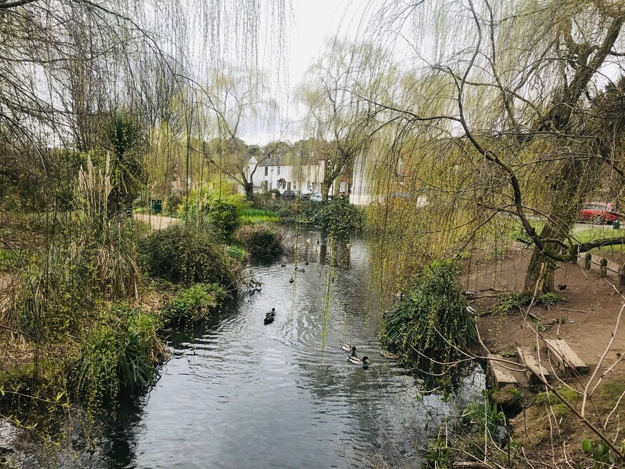
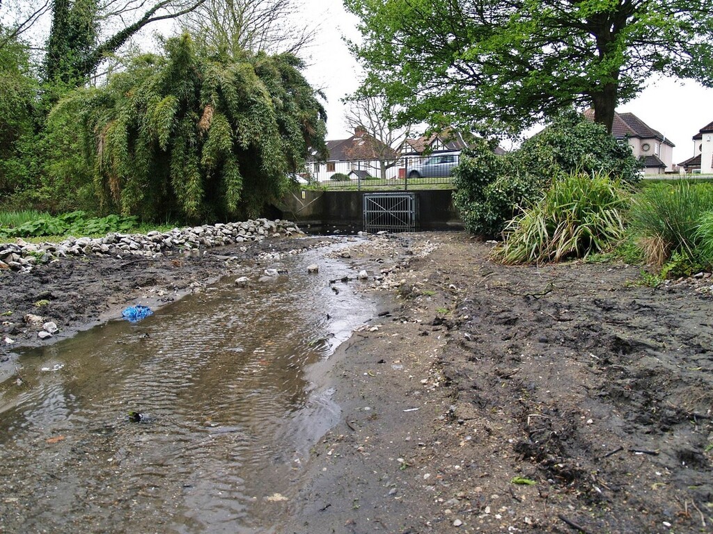
Images