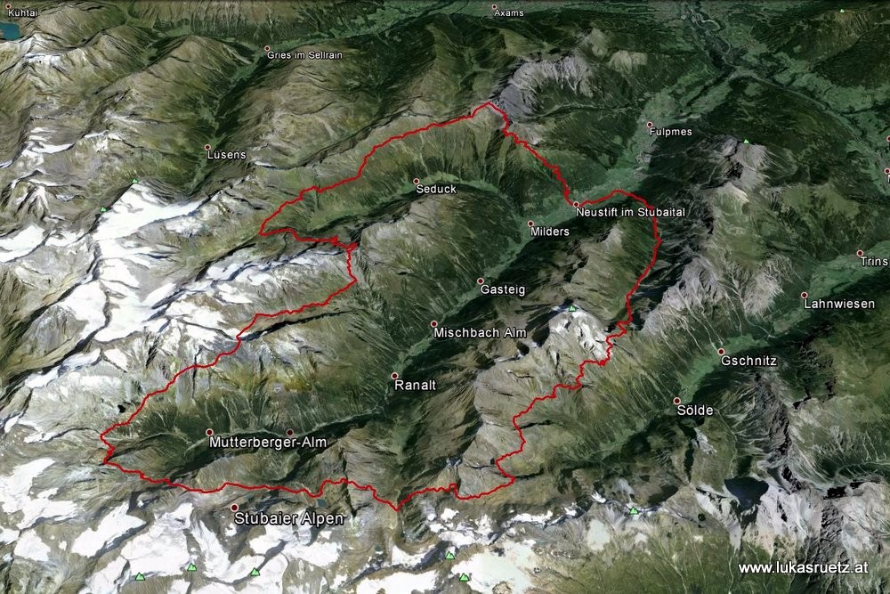
Location
Austria
Distance
78 km
Vertical Gain
5,730 m
Description
GPS Track
Stubaier-Höhenweg.gpx4.06 MB
FKTs
Male
Female
Mixed-gender team
| Philipp Ausserhofer | 12h 4m 57s | ||||
| Daniel Jung | 12h 53m 39s | ||||
| Alexander Hutter, Christian Stern | 13h 39m 34s | ||||
| Manuel Zorn, Armin Zorn | 16h 9m 0s |
| Fabian Fohringer | 16h 36m 58s | ||||
| Christian Eggermann | 22h 7m 40s |
| Andre Purschke, Matthias Dippacher | 16h 39m 12s | ||||
| Benni Bublak, Adrian Niski, Johannes Stimpfle | 16h 50m 14s |
| Marie-Luise Mühlhuber | 16h 22m 42s |
| Katharina Hartmuth | 16h 43m 58s |
| Ida-Sophie Hegemann | 19h 16m 9s |
| Ramona Falk, Ronald Jahnke | 17h 20m 18s | ||||
| Ramona Falk, Ronald Jahnke | 19h 44m 40s |
| Elmar Kanitscheider, Sigrun Kanitscheider | 20h 50m 33s |
Images
This route on the old FKT site