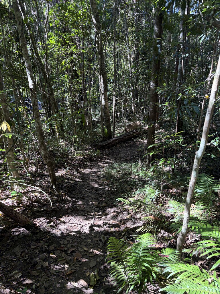
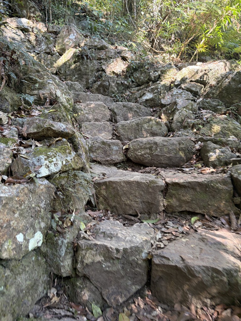
The Sunshine Coast Hinterland Great Walk starts at Barron Pocket Dam carpark. From there the first section follows the Obi Obi Creek up to Kondalilla Falls, this section runs through beautiful tropical forests, the terrain is relatively technical and slow going with rocks and roots underfoot and then stone staircases to climb out to the top of the falls. From there to Flaxton Walkers camp follows the road (a welcome break from the slow trails!) for most and then winds into the forest.
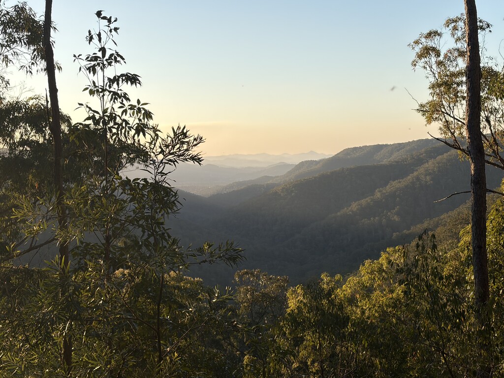
Flaxton Walkers Camp to Ubajee Camp has a slow winding start down to Baxter Falls and back up again but then you follow road, flowing single trail and easy forest tracks. The lookout at Ubajee is worth a stop and quick photo, the views are incredible, with a lot of the track on forested trails this gives a great overview of the area.
From Ubajee there's a steep windy descent, the official trail then runs clockwise around the top loop. The loop is about 20km of mostly single trail with some big climbs and descents. Thilba Thalba camp is just under halfway in. There are a few stunning view points along the way.
After the loop it's back up the climb to Ubajee camp then an easyish 4.5ish km (this bit was covered on the way out) to Delicia Road carpark the official end.
This route is a great run with a variety of terrain from technical singletrack with big climbs and tight switchbacks, open forest trails and a bit of road.
All of the bushcamps have a tank with water, this does need to be filtered though. Mobile reception is patchy, if running alone a satellite communicator is a good idea.
There are a few GPX files around that have slight deviations, this is the 'true' great walk as per QPWS.