Location
Ontario,
CA
Distance
13.25 km
Vertical Gain
67 m
Description
GPS Track
TrailRun20200829145040_1.gpx1.75 MB
FKTs
Male
| Jamieson Hatt | 54m 21s |
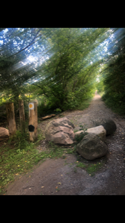
Images