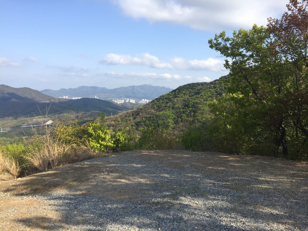
Location
Gyeonggi-do,
KR
Distance
65.26 km
Vertical Gain
1,926 m
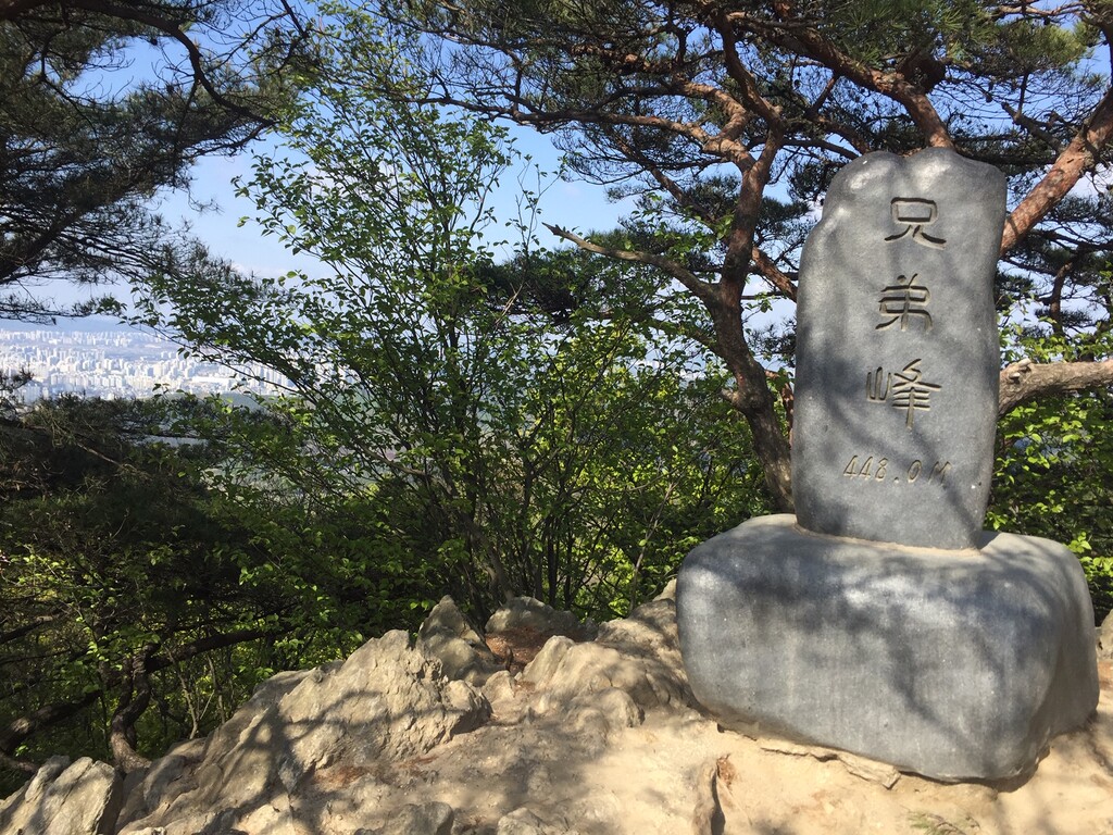
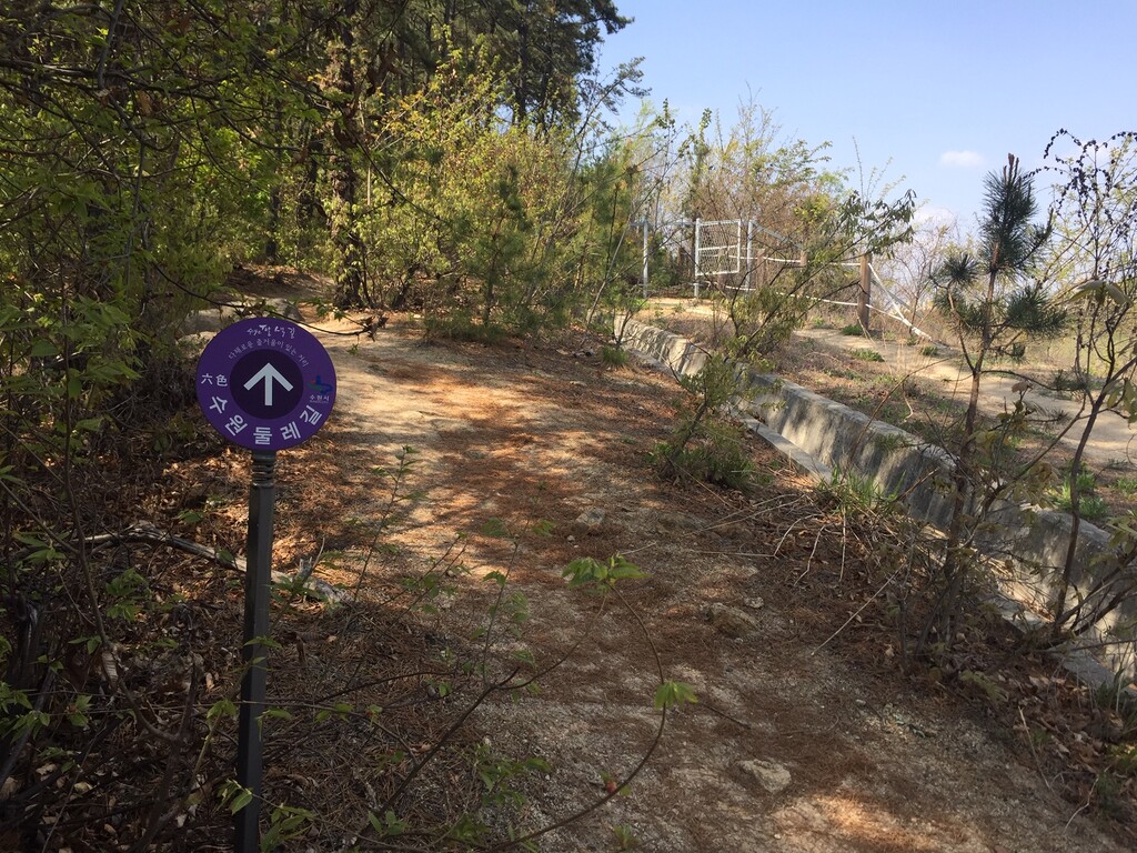
Description
GPS Track
5146112268.gpx3.86 MB
FKTs
Male
| Matthew Crawford | 9h 22m 54s |
Images
Comments
I'm attempting this in the coming weeks and am familiar with the Gwanggyo-san area, but not the northwestern sections of the course, am a bit concerned about getting lost, but hope all goes well. Can't wait, and thanks for the .gpx file!
How did your attempt go? I'm eyeing this one since I don't live far from it!