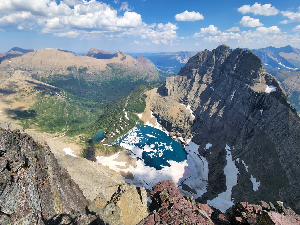
This loop is a true crown jewel line in Glacier National Park: an aesthetic, high‑alpine ridge run that links two iconic summits with surprisingly clean and logical terrain. Starting from The Loop on Going to the Sun Road, the route climbs on trail to Swiftcurrent Lookout, then commits to the long northbound ridge (approx. 4 miles on-ridge) toward Iceberg Peak, staying on or near the ridge proper the entire way. The ridge delivers constant exposure to some of Glacier’s best scenery: sweeping views into the Lake McDonald basin, the dramatic Heaven’s Peak massif, the full Many Glacier cirque, and, to the north, the remote walls of Ipasha, Merritt, and the high country of the Belly River drainage. After tagging Iceberg Peak, the route drops several thousand feet of steep, loose terrain to reach the Highline Trail, then follows the Highline south through Granite Park Campground before descending back to The Loop.
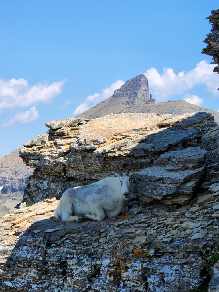
Despite how elegant the line looks on a map, this is not a beginner peak‑bagging route. The ridge involves some routefinding, long stretches of loose Glacier choss, steep downclimbs, and sections of meaningful exposure. Comfort with off‑trail travel, unstable rock, and committing terrain is essential. Do not rely exclusively on the information provided here if attempting this route; utilize other resources to get more detailed information on route specifics, particularly the downclimb off Iceberg Peak's west face to the Highline Trail. Additionally, depending on the snowpack and time of year, an ice axe/and or microspikes may be useful when crossing the Ahern Drift during the return along the northern section of the Highline.
This route could theoretically be done in either direction, but I think climbing Swiftcurrent first makes much more sense logistically, as you gain the majority of the elevation on-trail, as opposed to a near 3000ft chossy slog up Iceberg Peak.
Because this traverse spends so much time in fragile alpine terrain, please make every effort to stay on durable surfaces and avoid stepping on vegetation when feasible. The high‑elevation plant communities in this part of the park are slow‑growing and extremely sensitive to foot traffic. If you’re attempting an FKT on this route, consider donating to the Glacier Institute, the Glacier Conservancy, or another local conservation organization as a way to give back to the landscape that makes this line so special.